
National Park · Georgia
Algeti National Park
Algeti National Park is a national park in Georgia, covering 21,666 acres (8,768 ha), established in 1965.
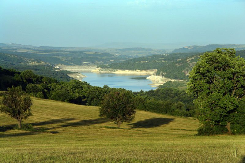
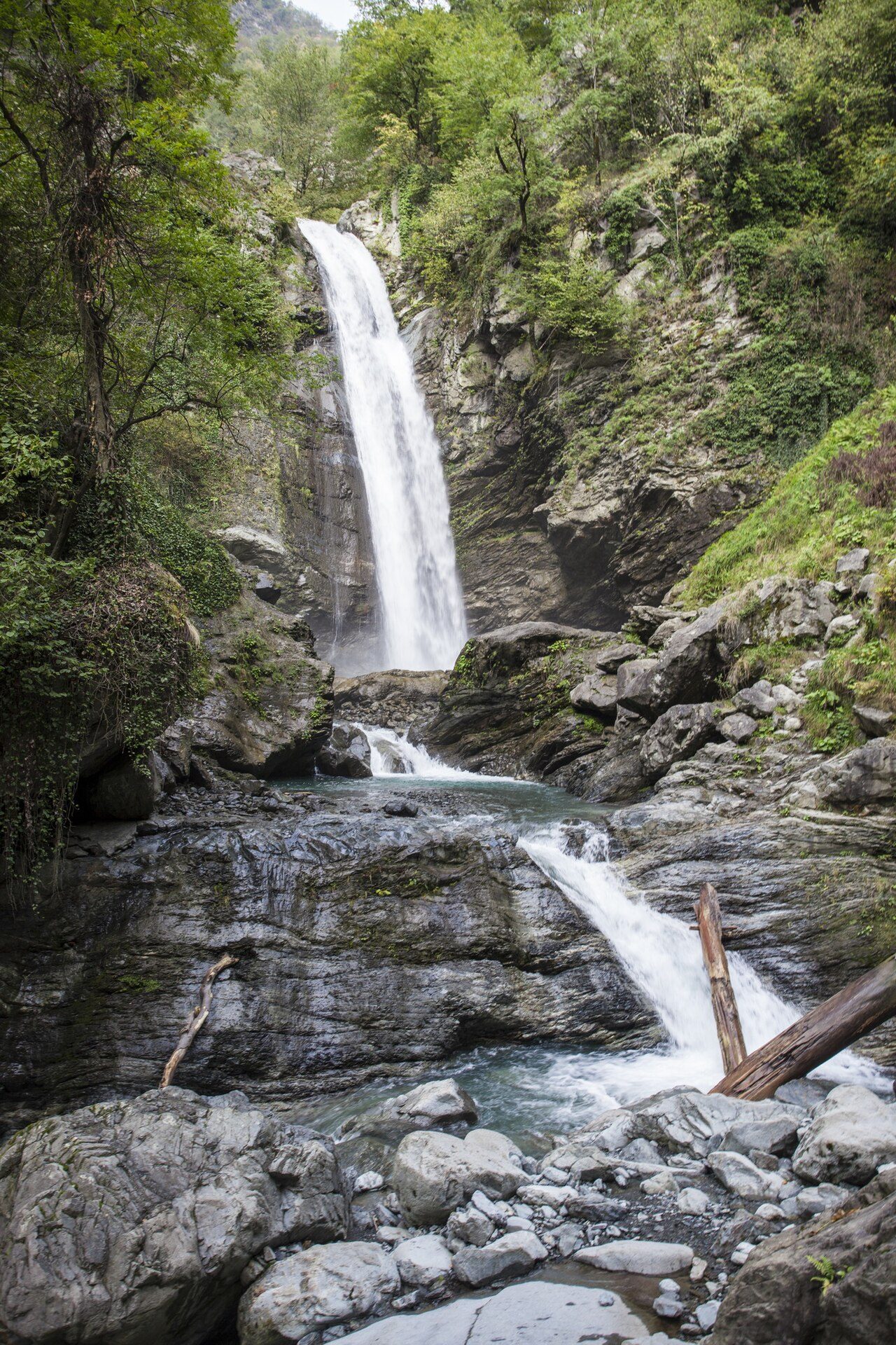
Photo: Paata Vardanashvili (www.paata.ge) from Tbilisi Georgia via Wikimedia Commons, CC BY 2.0. Cropped and resized for display.
Park facts
| Park type | National Park |
|---|---|
| Location | Georgia |
| Area | 21,666 acres (8,768 ha) |
| Established | 1965 |
| Coordinates | 41.7216° N, 44.3023° E |
Every fact above is taken from the sources listed below; anything no source states is left blank rather than guessed.
About Algeti National Park
The Algeti National Park (Georgian: ალგეთის ეროვნული პარკი, algetis erovnuli parki) is a protected area in Georgia, in the southeast of the country. It lies in the region of Kvemo Kartli, within the Municipality of Tetritsqaro, some 60 km southwest of the nation's capital, Tbilisi. The national park stretches along the upper Algeti valley at the woody southern slopes of the eastern Trialeti Range, with the highest point being Mount Kldekari at 2,000 m above sea level. The park was founded under the Soviet government in 1965 as a state reserve to protect the easternmost limits of the Caucasian Spruce and Nordmann Fir.
Description from the park's Wikipedia article (CC BY-SA), linked in the sources below.
Airports near this park
The airports a visitor would actually fly into, nearest first — each link opens its profile on our sister site AirportProfiles.
- Tbilisi International Airport (TBS) · Tbilisi, Georgia · 33.9 miles away
- Shirak International Airport (LWN) · Gyumri, Armenia · 70.9 miles away
- David the Builder Kutaisi International Airport (KUT) · Kopitnari, Georgia · 98.5 miles away
Parks nearby
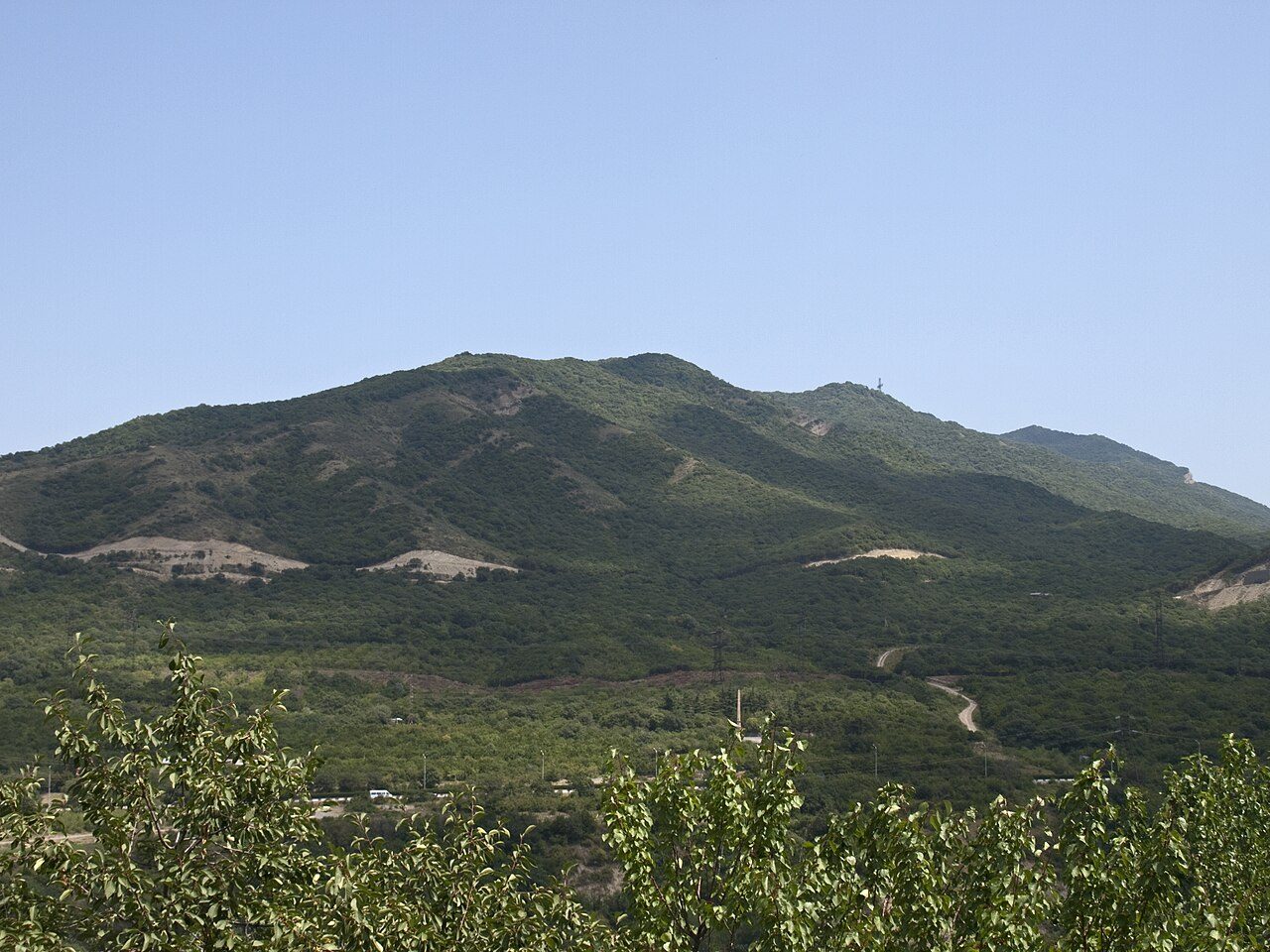
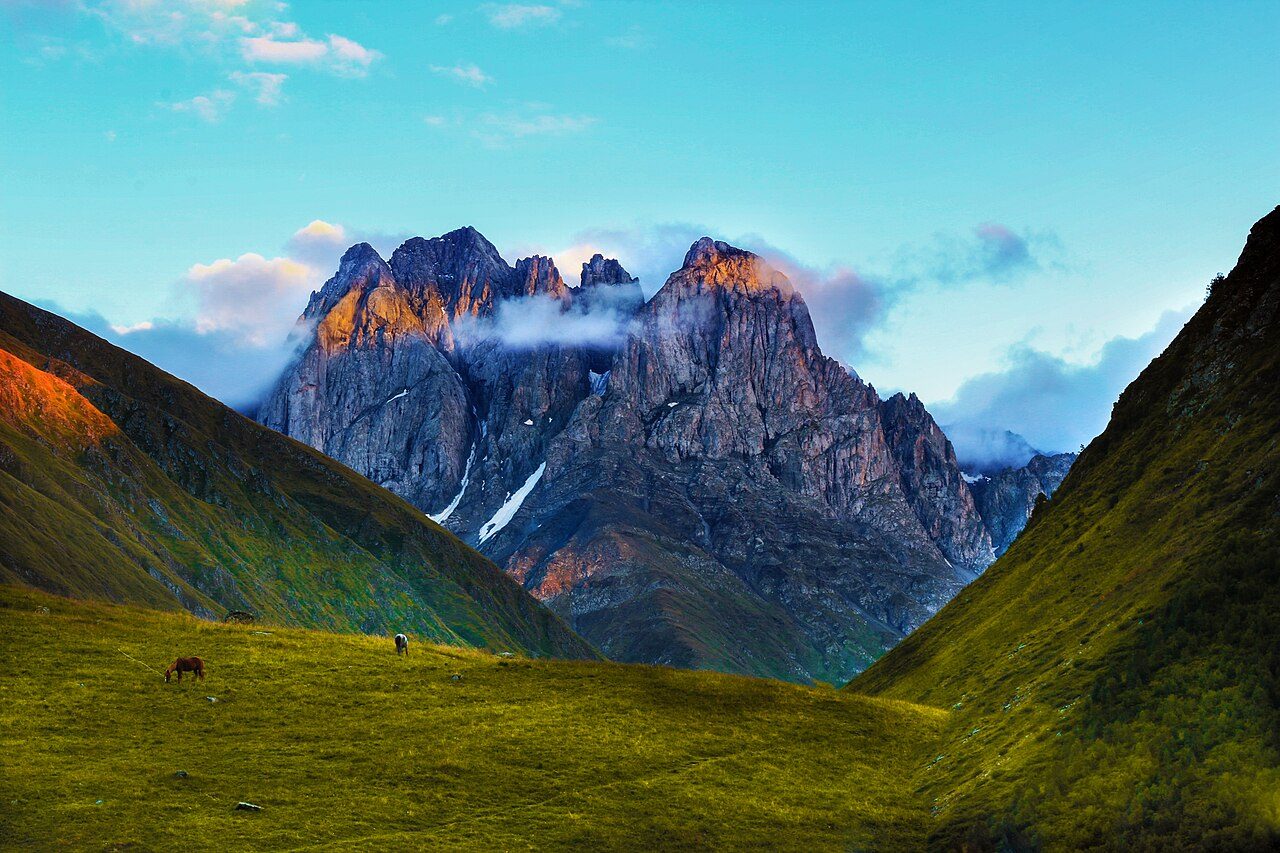
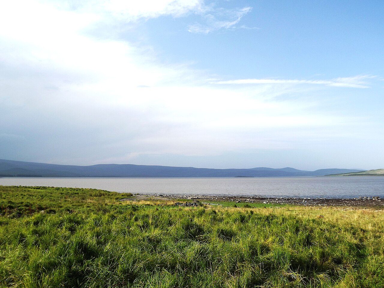
More parks in Georgia

Frequently asked questions
Where is Algeti National Park?
Algeti National Park is in Georgia (41.7216° N, 44.3023° E).
When was Algeti National Park established?
Algeti National Park was established in 1965, per the source listed at the foot of this page.
How big is Algeti National Park?
Algeti National Park covers 21,666 acres (8,768 ha).
Sources
- https://www.wikidata.org/wiki/Q3645592 — Wikidata (CC0) — name, country, coordinates, area, established year, highest point where stated.
- https://en.wikipedia.org/wiki/Algeti_National_Park — Wikipedia article — description (CC BY-SA).