
National Park · Bangladesh
Altadighi National Park
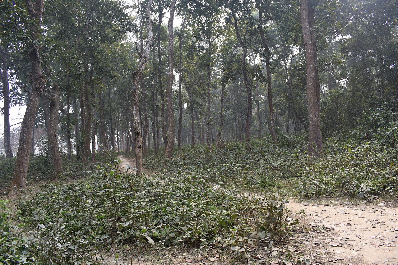
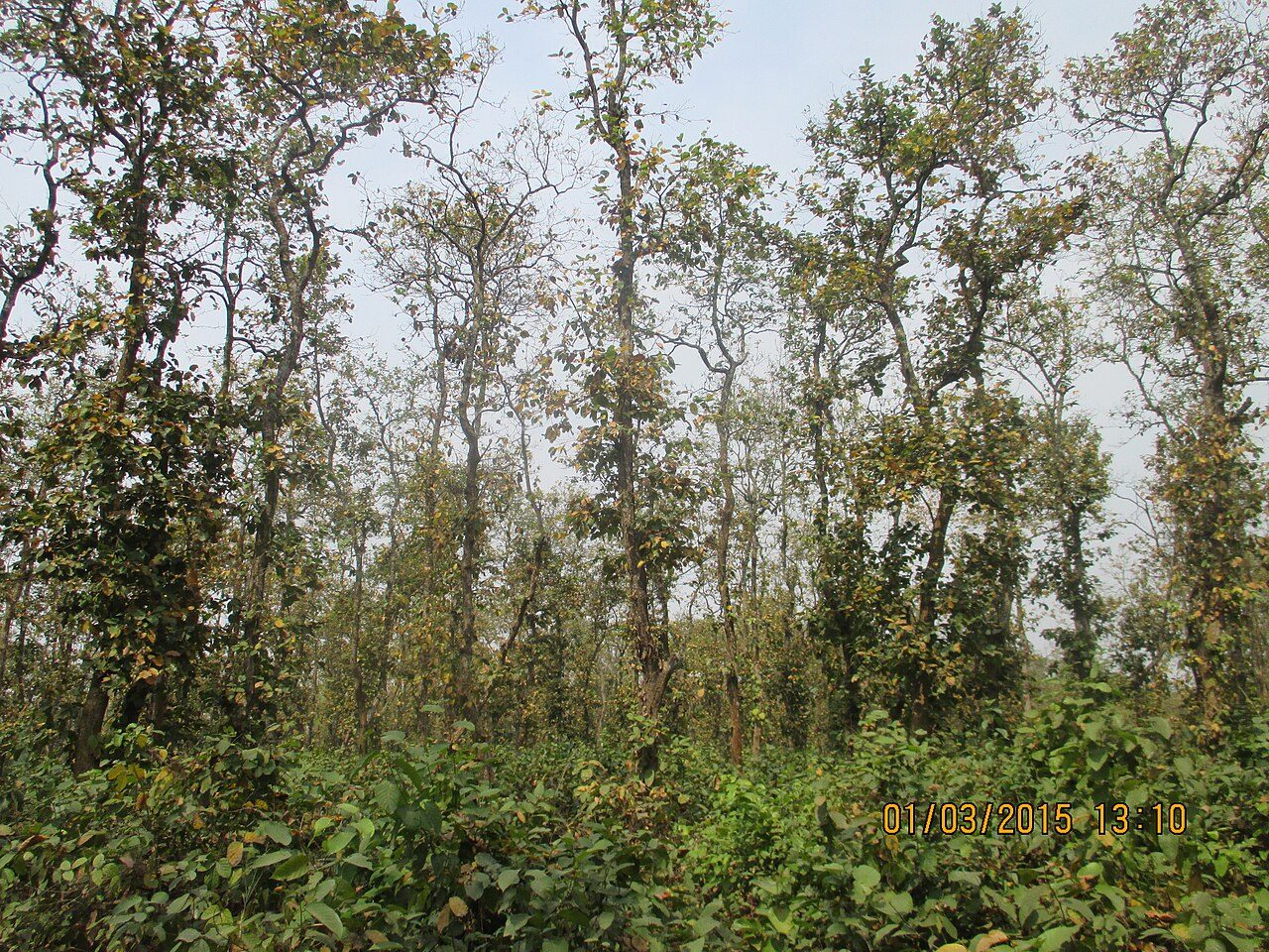
Altadighi National Park is a national park in Bangladesh.
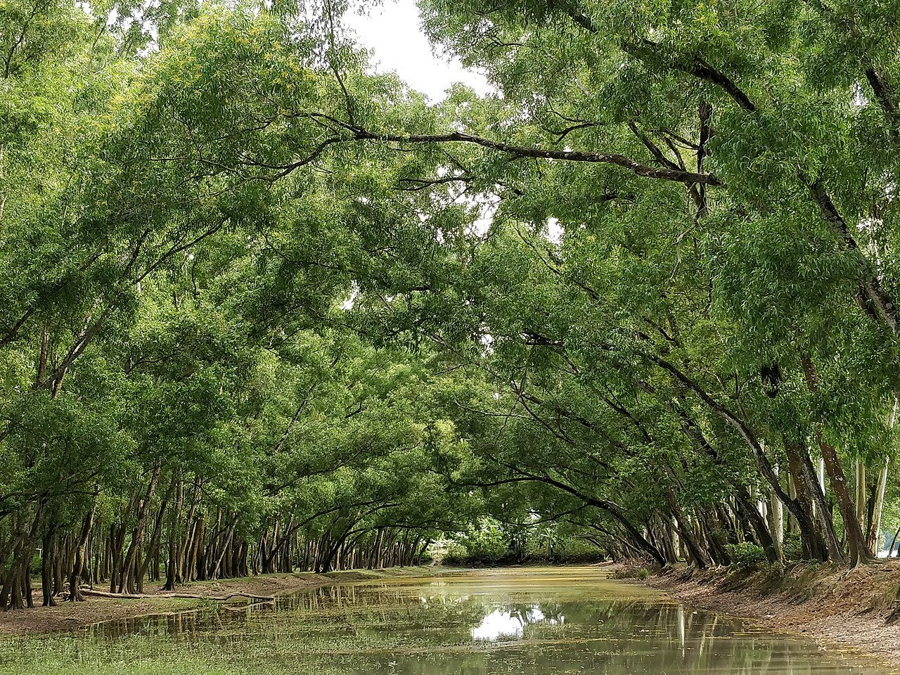
Photo: Debashish95 via Wikimedia Commons, CC BY-SA 4.0. Cropped and resized for display.
Park facts
| Park type | National Park |
|---|---|
| Location | Bangladesh |
| Coordinates | 25.1865° N, 88.8661° E |
Every fact above is taken from the sources listed below; anything no source states is left blank rather than guessed.
About Altadighi National Park
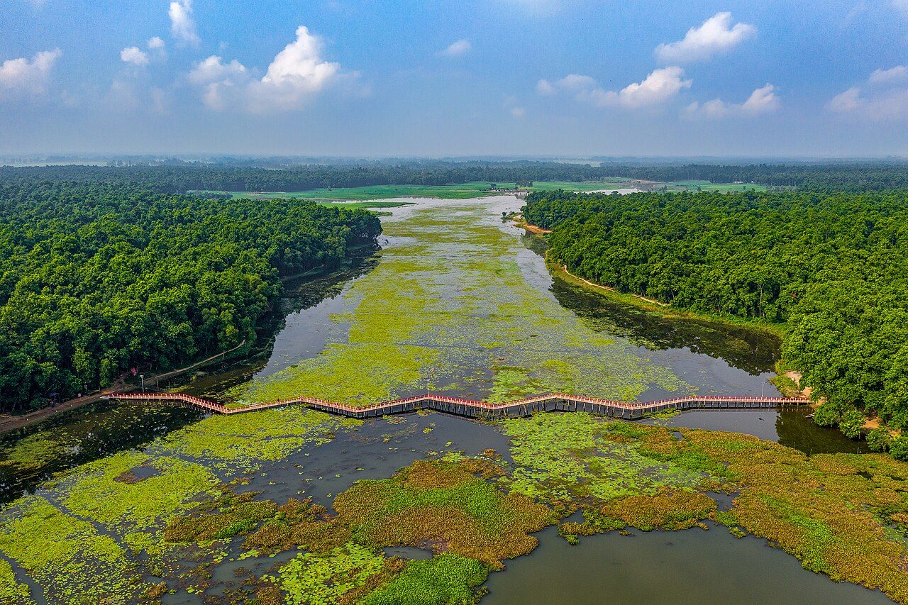
Altadighi National Park (Bengali: আলতাদীঘি জাতীয় উদ্যান) is an IUCN Category IV national park and nature reserve in Bangladesh. The park is located in Dhamoirhat Upazila, Naogaon District, near the border with India. It is under the jurisdiction of the Paikbandha Forest Range of the Bangladesh Forest Department. It was officially designated as a national park by the government of Bangladesh on 14 December 2011. It covers an area of 264.12 hectares (652.7 acres), including the largest reservoir in Naogaon District, spanning 55.46 acres (22.44 ha).
Description from the park's Wikipedia article (CC BY-SA), linked in the sources below.
Airports near this park
The airports a visitor would actually fly into, nearest first — each link opens its profile on our sister site AirportProfiles.
- Bagdogra Airport (IXB) · Siliguri, India · 108.5 miles away
- Hazrat Shahjalal International Airport (DAC) · Dhaka, Bangladesh · 133.7 miles away
Parks nearby
More parks in Bangladesh


Frequently asked questions
Where is Altadighi National Park?
Altadighi National Park is in Bangladesh (25.1865° N, 88.8661° E).
Sources
- https://www.wikidata.org/wiki/Q16344999 — Wikidata (CC0) — name, country, coordinates, area, established year, highest point where stated.
- https://en.wikipedia.org/wiki/Altadighi_National_Park — Wikipedia article — description (CC BY-SA).