
National Recreation Area · Texas, United States
Amistad National Recreation Area
Amistad National Recreation Area is a national recreation area in Texas, United States, covering 62,945 acres (25,473 ha), established in 1965.
National Recreation Area · Texas, United States
No freely licensed photograph of this park is in our library yet — rather than borrow a picture of somewhere else, this profile leads with its verified facts.
Park facts
| Park type | National Recreation Area |
|---|---|
| Location | Texas, United States |
| Area | 62,945 acres (25,473 ha) |
| Established | 1965 |
| Coordinates | 29.4367° N, 101.0500° W |
| Managed by | National Park Service |
Every fact above is taken from the sources listed below; anything no source states is left blank rather than guessed.
About Amistad National Recreation Area
Amistad National Recreation Area is a national recreation area managed by National Park Service (NPS) that includes the area around the Amistad Reservoir at the confluence of the Rio Grande, the Devils River, and the Pecos River near Del Rio in Val Verde County, Texas. The reservoir was created by the Amistad Dam (Presa de la Amistad in Spanish), completed in 1969, located on the Rio Grande at the United States-Mexico border across from the city of Ciudad Acuña in the Mexican state of Coahuila. Amistad, Spanish for "friendship," refers broadly to the close relationship and shared history between Ciudad Acuña and Del Rio.
Description from the park's Wikipedia article (CC BY-SA), linked in the sources below.
Planning your visit
What to do
Where to stay
| Campgrounds | Limited |
|---|
Like Amistad National Recreation Area? Visit Amistad National Recreation Area’s official park page for hours and current conditions before you travel.
Airports near this park
The airports a visitor would actually fly into, nearest first — each link opens its profile on our sister site AirportProfiles.
- Piedras Negras International Airport (PDS) · Piedras Negras, Mexico · 64.0 miles away
- San Angelo Regional Mathis Field (SJT) · San Angelo, United States · 136.8 miles away
Parks nearby
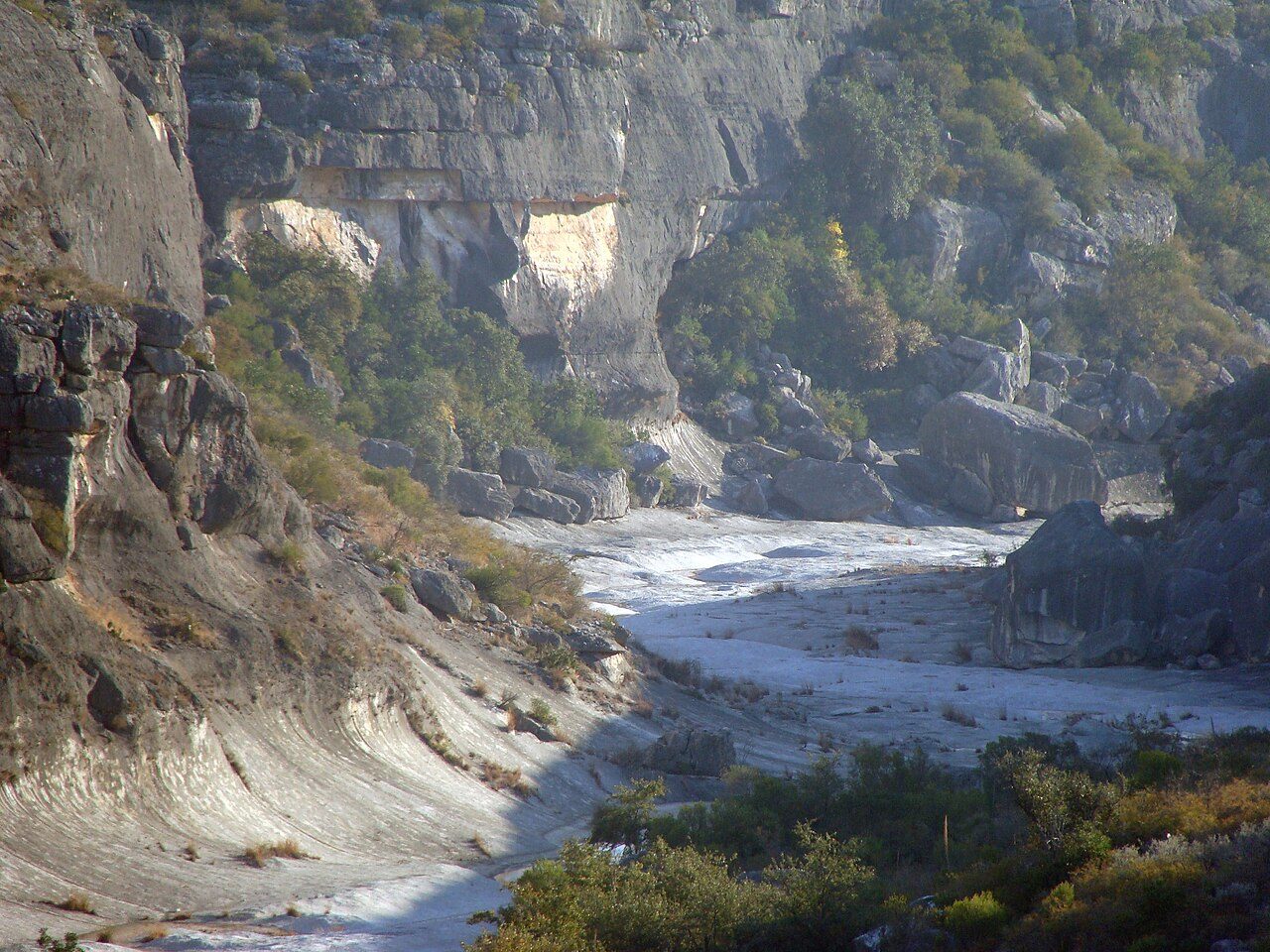
Seminole Canyon State Park and Historic Site
Devils River State Natural Area - includes Dan Allen Hughes Unit and Del Norte Unit
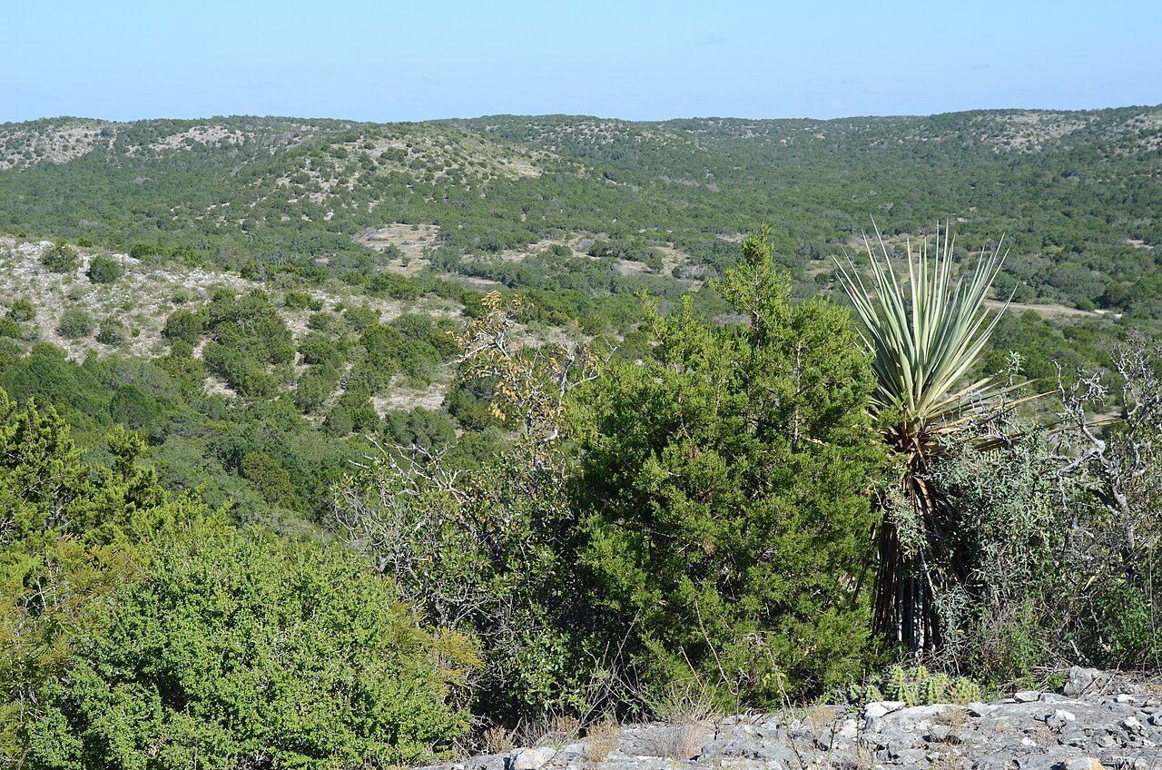
Kickapoo Cavern State Park
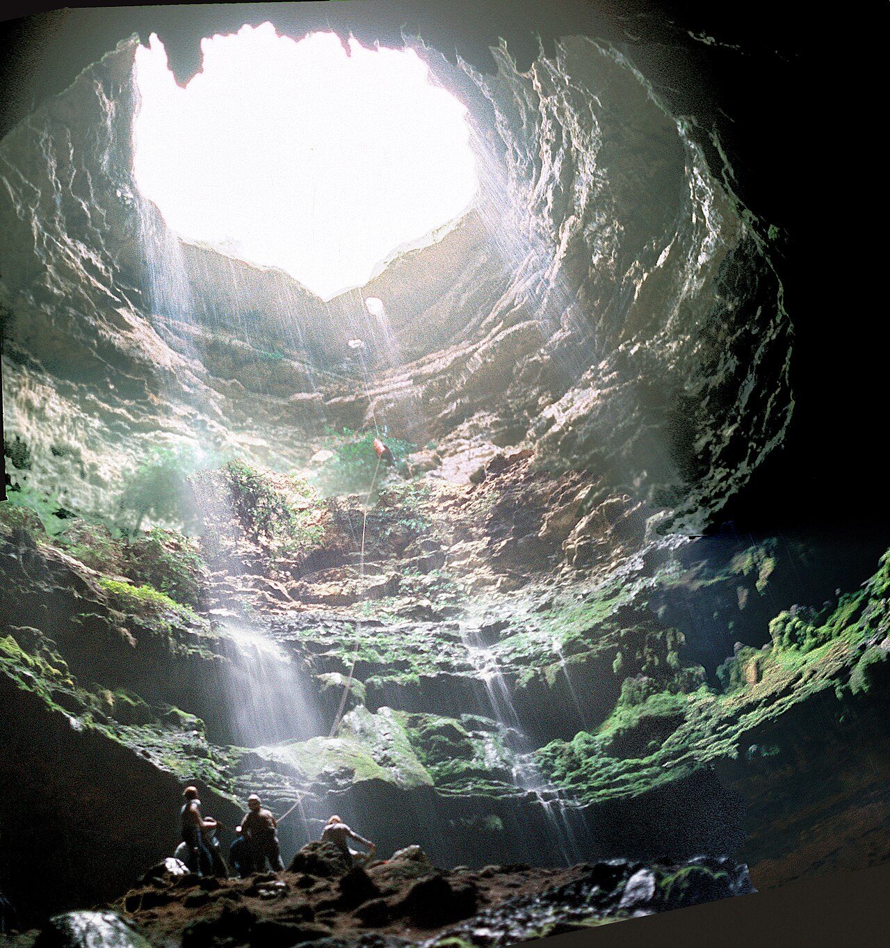
Devil's Sinkhole State Natural Area
Garner State Park
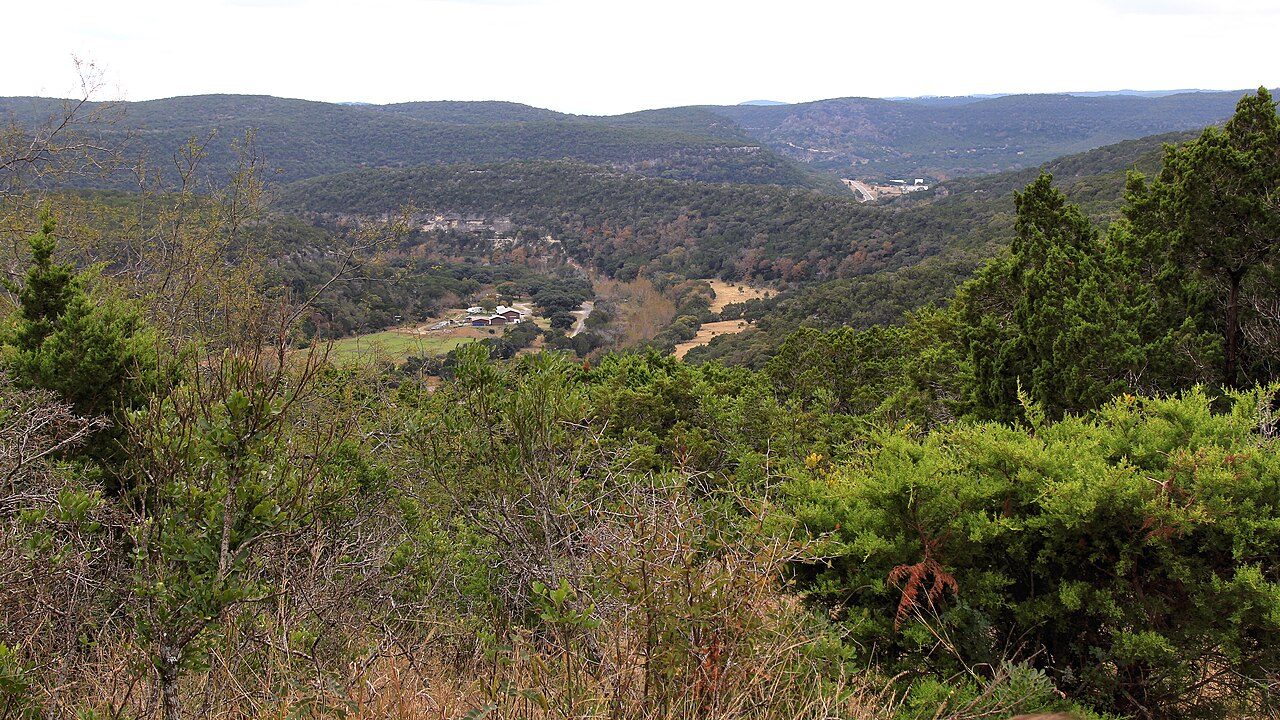
Lost Maples State Natural Area
More parks in Texas
Frequently asked questions
Where is Amistad National Recreation Area?
Amistad National Recreation Area is in Texas, United States (29.4367° N, 101.0500° W).
When was Amistad National Recreation Area established?
Amistad National Recreation Area was established in 1965, per the source listed at the foot of this page.
How big is Amistad National Recreation Area?
Amistad National Recreation Area covers 62,945 acres (25,473 ha).
Does Amistad National Recreation Area have campgrounds?
Yes, but campgrounds at Amistad National Recreation Area are limited.
Sources
- https://en.wikipedia.org/wiki/List_of_the_United_States_National_Park_System_official_units — Wikipedia list of National Park System official units — unit name, state, official designation.
- https://en.wikipedia.org/wiki/List_of_areas_in_the_United_States_National_Park_System — Wikipedia list of National Park System areas — year established and gross area.
- https://en.wikipedia.org/wiki/Amistad_National_Recreation_Area — Wikipedia article — description (CC BY-SA).
- https://www.nps.gov/amis/ — Official park page.