
National Park · New Zealand
Aoraki / Mount Cook National Park
Aoraki / Mount Cook National Park is a national park in New Zealand, covering 174,693 acres (70,696 ha), established in 1953.
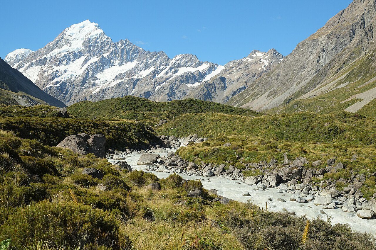
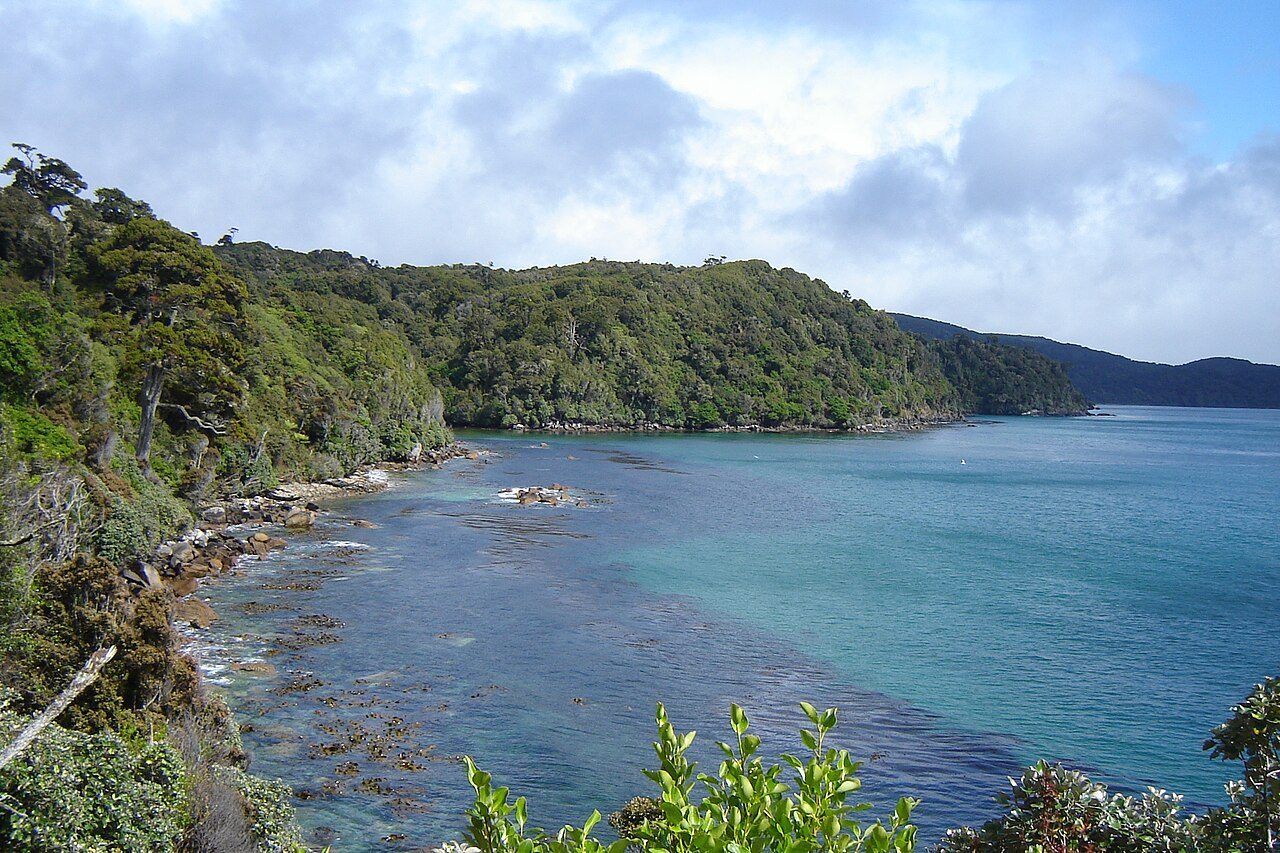
Photo: Pseudopanax at English Wikipedia via Wikimedia Commons, Public domain. Cropped and resized for display.
Park facts
| Park type | National Park |
|---|---|
| Location | New Zealand |
| Area | 174,693 acres (70,696 ha) |
| Established | 1953 |
| Coordinates | 43.7333° S, 170.1000° E |
Every fact above is taken from the sources listed below; anything no source states is left blank rather than guessed.
About Aoraki / Mount Cook National Park
Aoraki / Mount Cook National Park is a national park located in the Canterbury Region in the central-west of the South Island of New Zealand. It was established in October 1953 and takes its name from the highest mountain in New Zealand, Aoraki / Mount Cook. The area of the park is 707 km2 (273 mi2), and it shares a border with Westland Tai Poutini National Park along the Main Divide of the Southern Alps. The national park consists of reserves that were established as early as 1885 to protect the area's significant landscape and vegetation.
Description from the park's Wikipedia article (CC BY-SA), linked in the sources below.
Planning your visit
What to do
Airports near this park
The airports a visitor would actually fly into, nearest first — each link opens its profile on our sister site AirportProfiles.
- Queenstown Airport (ZQN) · Queenstown, New Zealand · 111.2 miles away
- Christchurch International Airport (CHC) · Christchurch, New Zealand · 122.8 miles away
Parks nearby
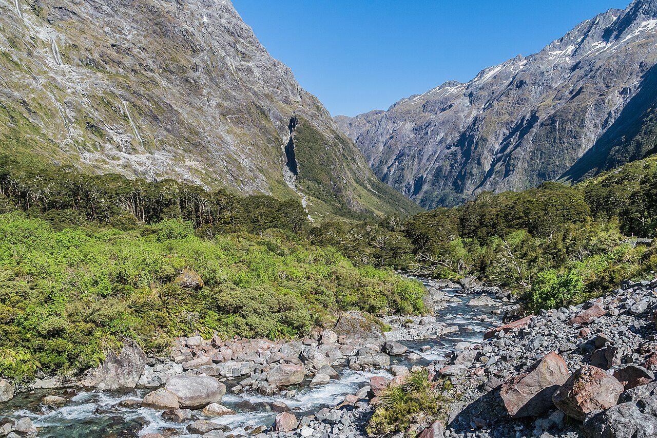
More parks in New Zealand
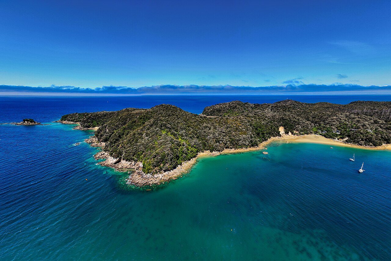
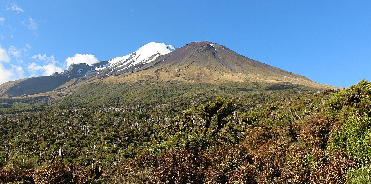
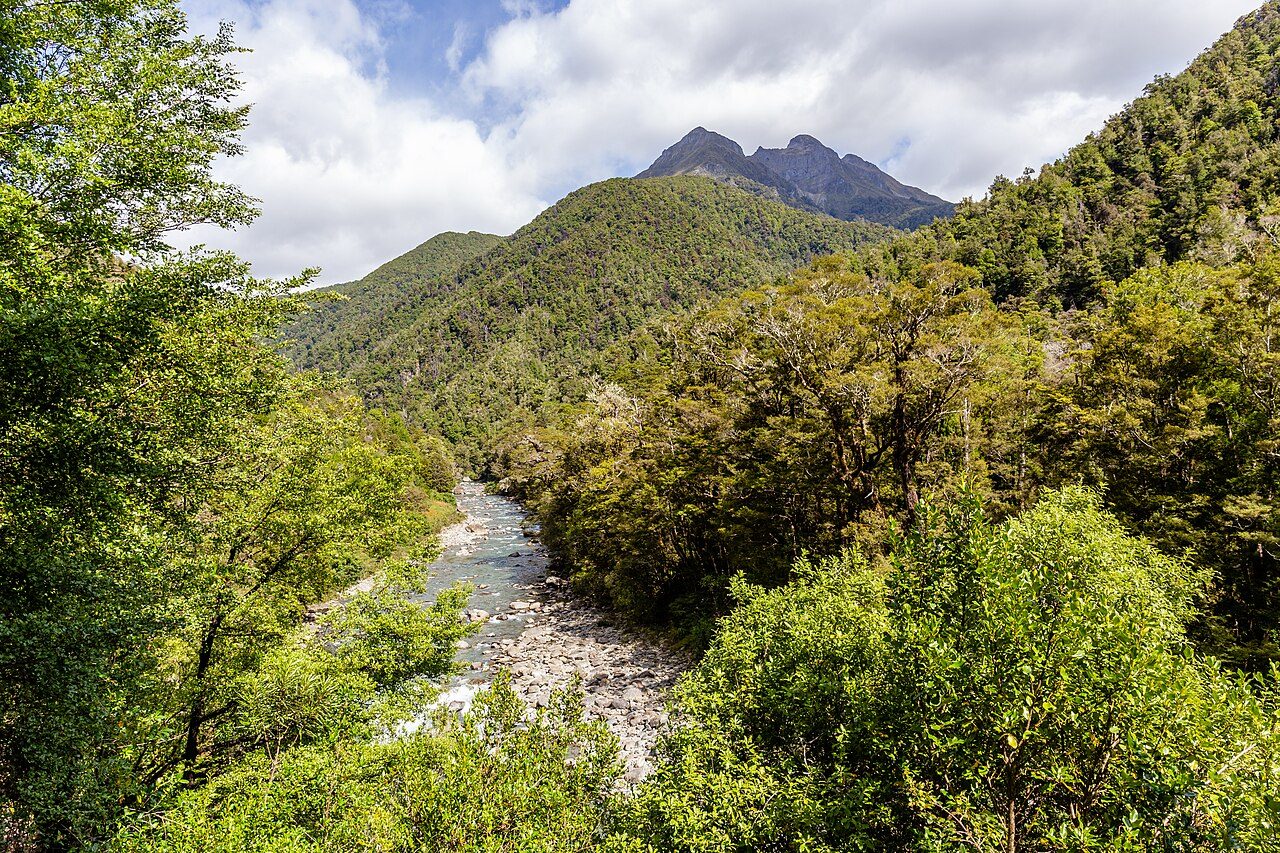

Frequently asked questions
Where is Aoraki / Mount Cook National Park?
Aoraki / Mount Cook National Park is in New Zealand (43.7333° S, 170.1000° E).
When was Aoraki / Mount Cook National Park established?
Aoraki / Mount Cook National Park was established in 1953, per the source listed at the foot of this page.
How big is Aoraki / Mount Cook National Park?
Aoraki / Mount Cook National Park covers 174,693 acres (70,696 ha).
Sources
- https://www.wikidata.org/wiki/Q1950336 — Wikidata (CC0) — name, country, coordinates, area, established year, highest point where stated.
- https://en.wikipedia.org/wiki/Aoraki_/_Mount_Cook_National_Park — Wikipedia article — description (CC BY-SA).