
State Park · Minnesota, United States
Arrowhead State Trail
Arrowhead State Trail is a state park in Minnesota, United States.
State Park · Minnesota, United States
No freely licensed photograph of this park is in our library yet — rather than borrow a picture of somewhere else, this profile leads with its verified facts.
Park facts
| Park type | State Park |
|---|---|
| Location | Minnesota, United States |
| Length | 135 miles (217.3 km) |
| Coordinates | 48.1017° N, 92.6764° W |
| Managed by | Minnesota state park system |
Every fact above is taken from the sources listed below; anything no source states is left blank rather than guessed.
About Arrowhead State Trail
The Arrowhead State Trail is a recreational trail in the Arrowhead Region of northern Minnesota, USA, geared primarily for winter snowmobile use. It runs 135 miles (217 km) from an intersection with the Taconite State Trail 10 miles (16 km) west of Tower to an intersection with the Blue Ox Trail 3 miles (4.8 km) south of International Falls. In summer about 69 miles (111 km) are suitable for hiking, horseback riding, and mountain biking, while the northern section is blocked by areas of wetness and standing water. The Arrowhead State Trail was authorized by the Minnesota Legislature in 1974–75.
Description from the park's Wikipedia article (CC BY-SA), linked in the sources below.
Planning your visit
What to do
Getting there
| Nearest town | International Falls, Minnesota |
|---|---|
| Getting there | about 3 miles south of International Falls |
Airports near this park
The airports a visitor would actually fly into, nearest first — each link opens its profile on our sister site AirportProfiles.
- Falls International Airport (INL) · International Falls, United States · 46.3 miles away
- Range Regional Airport (HIB) · Hibbing, United States · 50.1 miles away
- Fort Frances Municipal Airport (YAG) · Fort Frances, Canada · 52.0 miles away
Parks nearby
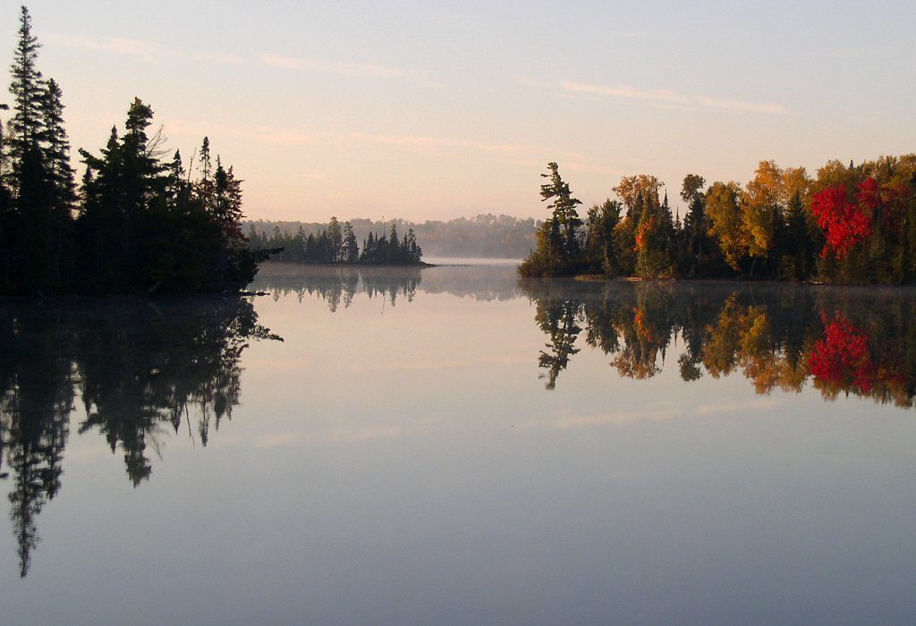
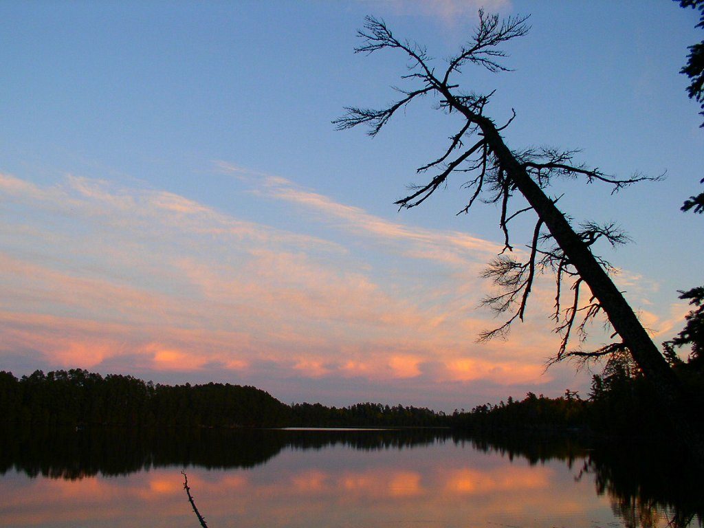
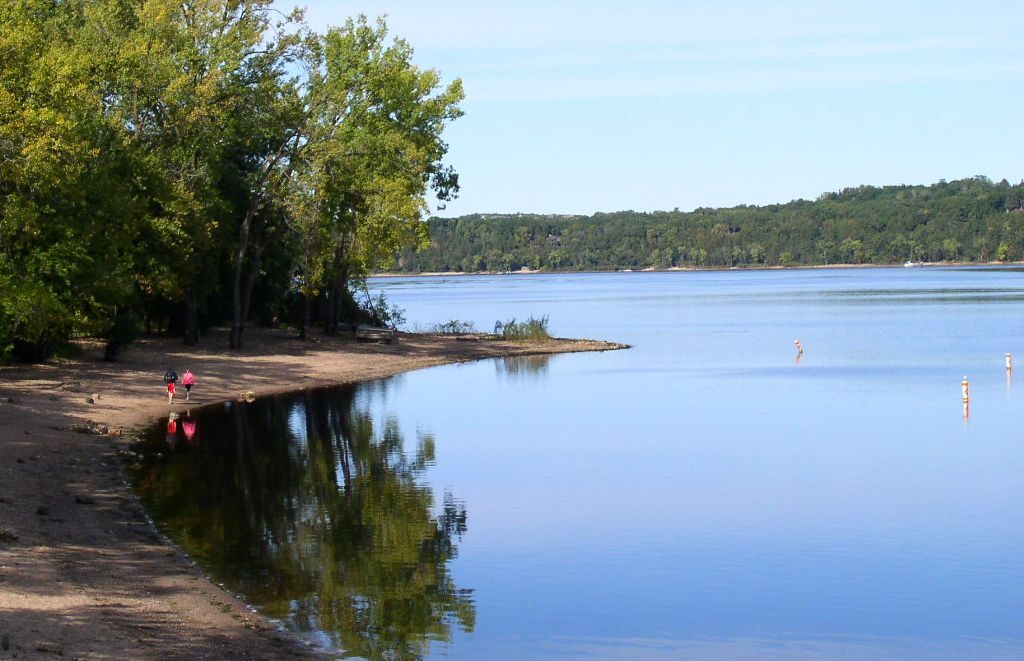
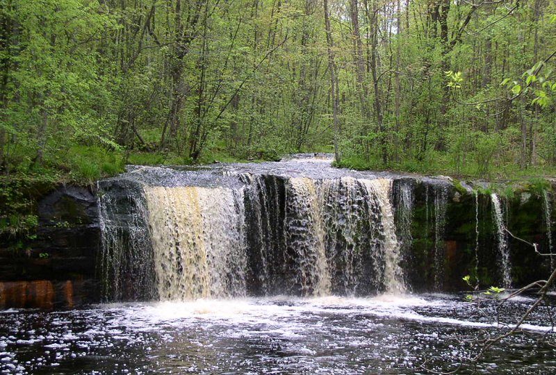
More parks in Minnesota

Frequently asked questions
Where is Arrowhead State Trail?
Arrowhead State Trail is in Minnesota, United States (48.1017° N, 92.6764° W).
How do I get to Arrowhead State Trail?
The nearest town is International Falls, Minnesota. about 3 miles south of International Falls.
Sources
- https://en.wikipedia.org/wiki/List_of_Minnesota_state_parks — Wikipedia list of Minnesota state parks — park name.
- https://en.wikipedia.org/wiki/Arrowhead_State_Trail — Wikipedia article — description (CC BY-SA).