
National Park · Pakistan
Ayubia National Park
Ayubia National Park is a national park in Pakistan, covering 8,184 acres (3,312 ha), established in 1984.
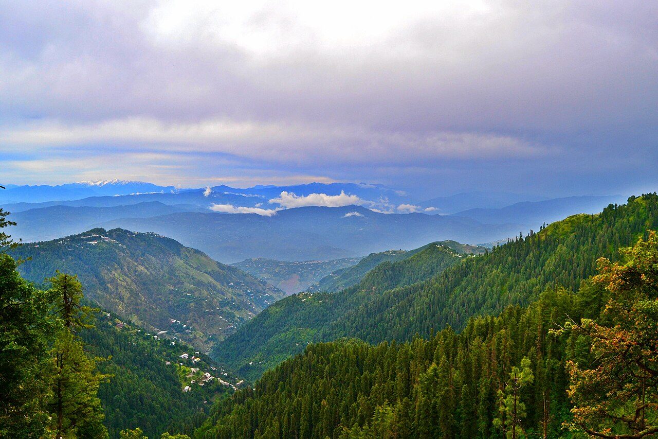
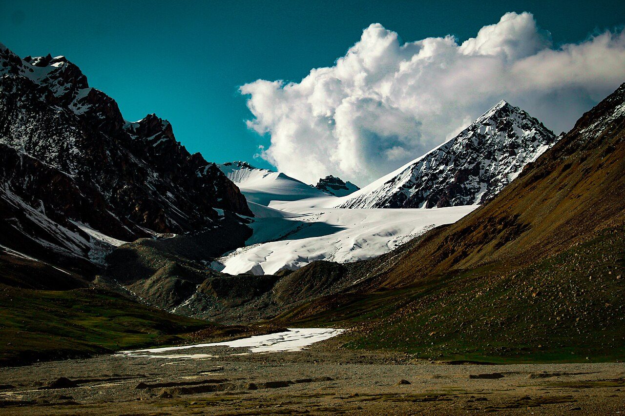
Photo: Talhaumar10 via Wikimedia Commons, CC BY-SA 4.0. Cropped and resized for display.
Park facts
| Park type | National Park |
|---|---|
| Location | Pakistan |
| Area | 8,184 acres (3,312 ha) |
| Established | 1984 |
| Highest point | Miranjani — 2,992 m (9,816 ft) |
| Coordinates | 34.0628° N, 73.4278° E |
Every fact above is taken from the sources listed below; anything no source states is left blank rather than guessed.
About Ayubia National Park
Ayubia National Park (Urdu: ایوبیہ ملی باغ), also known as Ayubia (Urdu: ایوبیہ), is a protected area of 3,312 hectares (33 km2) located in Abbottabad District, Khyber Pakhtunkhwa province, Pakistan. It was declared a national park in 1984. Ayubia was named after Muhammad Ayub Khan (1958–1969), second President of Pakistan. The area supports temperate coniferous forest and temperate broadleaf and mixed forest ecoregion habitats, with an average elevation of 2,400 metres (8,000 ft) above sea level. Ayubia National Park is surrounded by seven major villages and three small towns of Thandiani, Nathiagali and Khanspur.
Description from the park's Wikipedia article (CC BY-SA), linked in the sources below.
Airports near this park
The airports a visitor would actually fly into, nearest first — each link opens its profile on our sister site AirportProfiles.
- Islamabad International Airport (ISB) · Attock, Pakistan · 49.5 miles away
- Srinagar International Airport (SXR) · Srinagar, India · 77.3 miles away
- Bacha Khan International Airport (PEW) · Peshawar, Pakistan · 109.7 miles away
Parks nearby
More parks in Pakistan

Frequently asked questions
Where is Ayubia National Park?
Ayubia National Park is in Pakistan (34.0628° N, 73.4278° E).
When was Ayubia National Park established?
Ayubia National Park was established in 1984, per the source listed at the foot of this page.
How big is Ayubia National Park?
Ayubia National Park covers 8,184 acres (3,312 ha).
What is the highest point in Ayubia National Park?
The highest point is Miranjani, at 2,992 metres (9,816 ft).
Sources
- https://www.wikidata.org/wiki/Q3242261 — Wikidata (CC0) — name, country, coordinates, area, established year, highest point where stated.
- https://en.wikipedia.org/wiki/Ayubia_National_Park — Wikipedia article — description (CC BY-SA).