
State Park · Oklahoma, United States
Black Mesa State Park
Black Mesa State Park is a state park in Oklahoma, United States, established in 1959.
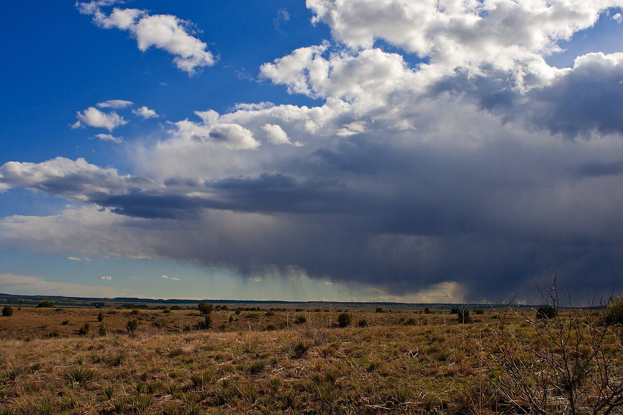
Photo: Christopher Gabbard from Tulsa Oklahoma, USA via Wikimedia Commons, CC BY-SA 2.0. Cropped and resized for display.
Park facts
| Park type | State Park |
|---|---|
| Location | Cimarron, Oklahoma, United States |
| Established | 1959 |
| Coordinates | 36.8459° N, 102.8800° W |
| Managed by | Oklahoma state park system |
Every fact above is taken from the sources listed below; anything no source states is left blank rather than guessed.
About Black Mesa State Park
Black Mesa State Park is an Oklahoma state park in Cimarron County, near the western border of the Oklahoma panhandle and New Mexico. The park is located about 15 miles (24 km) away from its namesake, Black Mesa, the highest point in Oklahoma (4,973 feet (1,516 m) above sea level). The mesa was named for the layer of black lava rock that coats it. The associated nature preserve is open to hiking and contains 1,600 acres (6.5 km2) and is home to 23 rare plants and 8 rare animal species. The nearest community is Kenton, Oklahoma. The nearest town is Boise City, Oklahoma.
Description from the park's Wikipedia article (CC BY-SA), linked in the sources below.
Planning your visit
What to do
Airports near this park
The airports a visitor would actually fly into, nearest first — each link opens its profile on our sister site AirportProfiles.
- Liberal Mid-America Regional Airport (LBL) · Liberal, United States · 106.9 miles away
- Rick Husband Amarillo International Airport (AMA) · Amarillo, United States · 130.2 miles away
- Pueblo Memorial Airport (PUB) · Pueblo, United States · 133.4 miles away
Parks nearby
More parks in Oklahoma

Frequently asked questions
Where is Black Mesa State Park?
Black Mesa State Park is in Oklahoma, United States (36.8459° N, 102.8800° W).
When was Black Mesa State Park established?
Black Mesa State Park was established in 1959, per the source listed at the foot of this page.
Sources
- https://en.wikipedia.org/wiki/List_of_Oklahoma_state_parks — Wikipedia list of Oklahoma state parks — park name, county/location, size, year where the table states them.
- https://en.wikipedia.org/wiki/Black_Mesa_State_Park — Wikipedia article — description (CC BY-SA).