
National Park · Mauritius
Black River Gorges National Park
Black River Gorges National Park is a national park in Mauritius, covering 16,309 acres (6,600 ha), established in 1994.
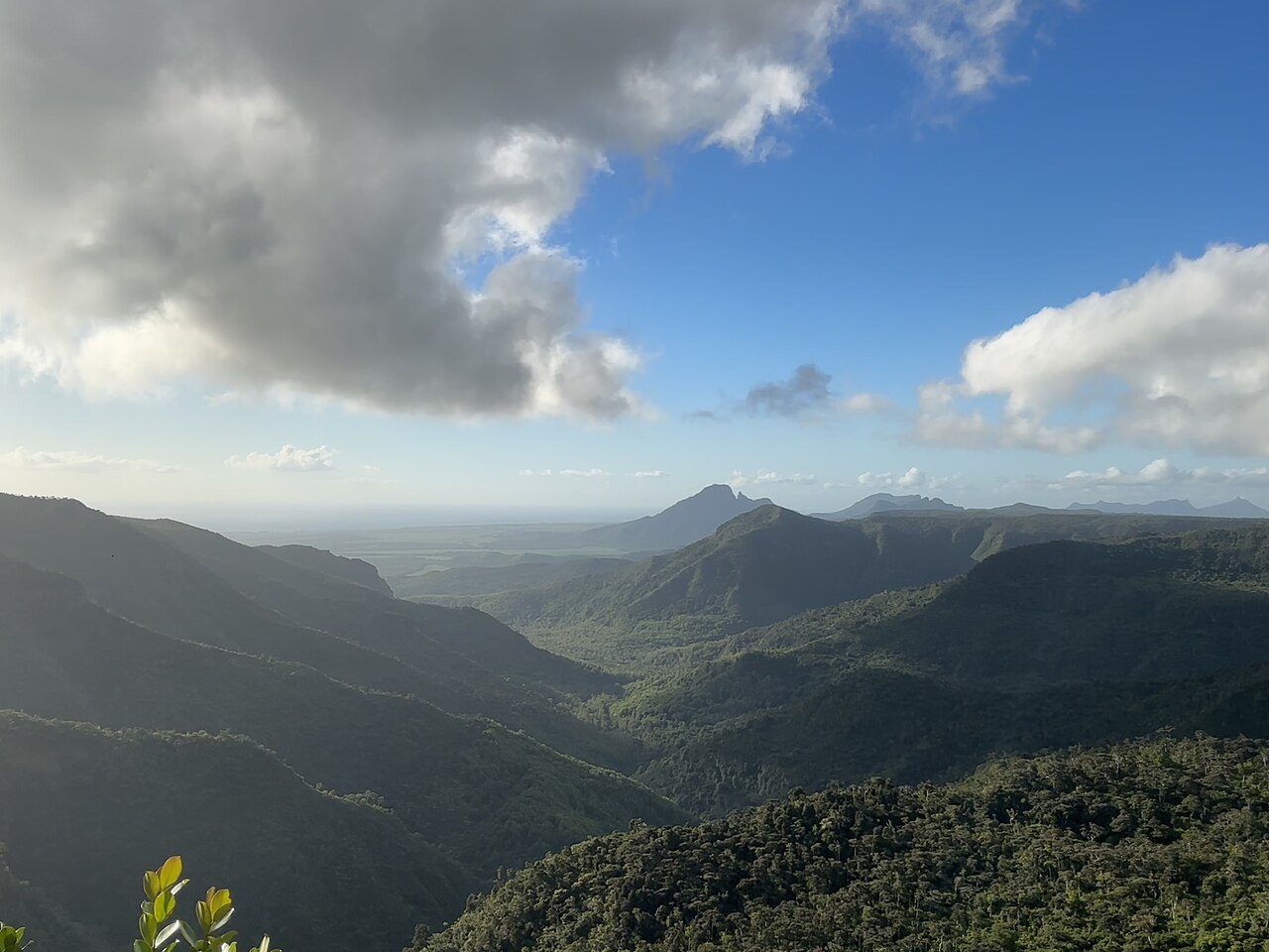
Photo: User 72622 via Wikimedia Commons, CC0. Cropped and resized for display.

Park facts
| Park type | National Park |
|---|---|
| Location | Mauritius |
| Area | 16,309 acres (6,600 ha) |
| Established | 1994 |
| Coordinates | 20.4167° S, 57.4167° E |
Every fact above is taken from the sources listed below; anything no source states is left blank rather than guessed.
About Black River Gorges National Park
Black River Gorges National Park is a national park in the hilly south-western part of Mauritius. It was proclaimed on June 15, 1994 and is managed by the National Parks and Conservation Service. It covers an area of 67.54 km2 including humid upland forest, drier lowland forest and marshy heathland. Facilities for visitors include two information centres, picnic areas and 60 kilometres of trails. There are four field stations in the park which are used for National Parks and Conservation Service and Mauritian Wildlife Foundation research and conservation projects. It is the largest national park in Mauritius.
Description from the park's Wikipedia article (CC BY-SA), linked in the sources below.
Planning your visit
What to do
Airports near this park
The airports a visitor would actually fly into, nearest first — each link opens its profile on our sister site AirportProfiles.
- Sir Seewoosagur Ramgoolam International Airport (MRU) · Plaine Magnien, Mauritius · 17.3 miles away
- Roland Garros Airport (RUN) · Sainte-Marie, Réunion · 127.0 miles away
- Saint-Pierre Pierrefonds Airport (ZSE) · Saint-Pierre, Réunion · 143.1 miles away
Parks nearby
Réunion National Park
Masoala National Park
Analamazaotra National Park
Andasibe-Mantadia National Park
Zahamena National Park
Ranomafana National Park
More parks in Mauritius
Frequently asked questions
Where is Black River Gorges National Park?
Black River Gorges National Park is in Mauritius (20.4167° S, 57.4167° E).
When was Black River Gorges National Park established?
Black River Gorges National Park was established in 1994, per the source listed at the foot of this page.
How big is Black River Gorges National Park?
Black River Gorges National Park covers 16,309 acres (6,600 ha).
Sources
- https://www.wikidata.org/wiki/Q2421766 — Wikidata (CC0) — name, country, coordinates, area, established year, highest point where stated.
- https://en.wikipedia.org/wiki/Black_River_Gorges_National_Park — Wikipedia article — description (CC BY-SA).