
State Park · Arkansas, United States
Blanchard Springs Caverns
Blanchard Springs Caverns is a state park in Arkansas, United States.
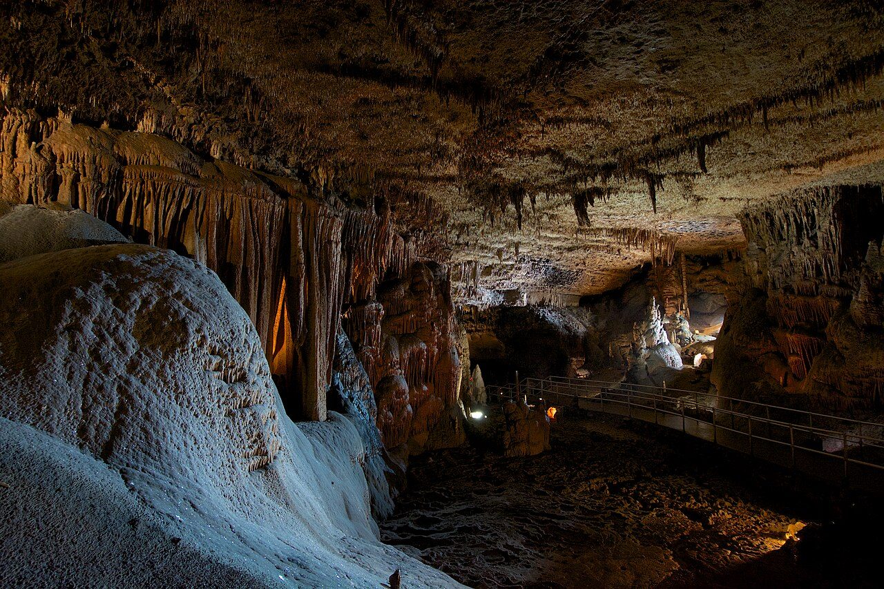
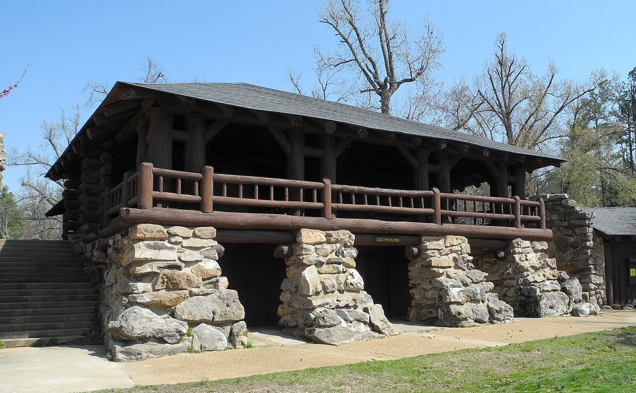
Photo: Eric Hunt via Wikimedia Commons, CC BY-SA 4.0. Cropped and resized for display.
Park facts
| Park type | State Park |
|---|---|
| Location | Stone, Arkansas, United States |
| Coordinates | 35.9637° N, 92.1793° W |
| Managed by | Arkansas state park system |
Every fact above is taken from the sources listed below; anything no source states is left blank rather than guessed.
About Blanchard Springs Caverns
Blanchard Springs Caverns is a cave system located in the Ozark–St. Francis National Forest in Stone County in northern Arkansas, USA, 2 miles (3.2 km) off Highway 14 a short distance north of Mountain View. It is the only tourist cave owned by the United States Forest Service and the only one owned by the federal government outside the National Park System. Blanchard Springs Caverns is a three-level cave system, all of which can be viewed on guided tours. The Dripstone Trail runs through the uppermost level of caverns for about a 0.5 miles (0.80 km) and opened in 1973.
Description from the park's Wikipedia article (CC BY-SA), linked in the sources below.
Planning your visit
Famous trails
- Dripstone Trail — 0.5 miles (0.8 km)
Airports near this park
The airports a visitor would actually fly into, nearest first — each link opens its profile on our sister site AirportProfiles.
- Frederick W. Smith International Airport (MEM) · Memphis, United States · 139.3 miles away
Parks nearby
More parks in Arkansas

Frequently asked questions
Where is Blanchard Springs Caverns?
Blanchard Springs Caverns is in Arkansas, United States (35.9637° N, 92.1793° W).
Sources
- https://en.wikipedia.org/wiki/List_of_Arkansas_state_parks — Wikipedia list of Arkansas state parks — park name, county/location, size, year where the table states them.
- https://en.wikipedia.org/wiki/Blanchard_Springs_Caverns — Wikipedia article — description (CC BY-SA).