
State Park · Minnesota, United States
Blue Mounds State Park
Blue Mounds State Park is a state park in Minnesota, United States, covering 1,567 acres (634 ha), established in 1937.
State Park · Minnesota, United States
No freely licensed photograph of this park is in our library yet — rather than borrow a picture of somewhere else, this profile leads with its verified facts.
Park facts
| Park type | State Park |
|---|---|
| Location | Rock, Minnesota, United States |
| Area | 1,567 acres (634 ha) |
| Established | 1937 |
| Coordinates | 43.7172° N, 96.1892° W |
| Managed by | Minnesota state park system |
Every fact above is taken from the sources listed below; anything no source states is left blank rather than guessed.
About Blue Mounds State Park
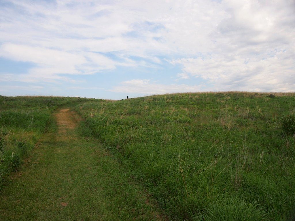
Blue Mounds State Park is a state park in Rock County, Minnesota, United States, near the town of Luverne. It protects an American bison herd which grazes on one of the state's largest prairie remnants. The state park is named after a linear escarpment of Precambrian Sioux Quartzite bedrock which, although pink in color, is said to have appeared blueish in the distance to early settlers. Parts of the cliff are up to 100 feet (30 m) high. Unusual in the surrounding prairie landscape, they are a popular site for rock climbing.
Description from the park's Wikipedia article (CC BY-SA), linked in the sources below.
Planning your visit
Getting there
| Nearest town | Luverne, Minnesota |
|---|---|
| Getting there | near the town of Luverne |
Airports near this park
The airports a visitor would actually fly into, nearest first — each link opens its profile on our sister site AirportProfiles.
- Sioux Falls Regional Airport (FSD) · Sioux Falls, United States · 29.1 miles away
- Sioux Gateway Airport / Brigadier General Bud Day Field (SUX) · Sioux City, United States · 91.7 miles away
- Watertown Regional Airport (ATY) · Watertown, United States · 95.5 miles away
Parks nearby
More parks in Minnesota
Frequently asked questions
Where is Blue Mounds State Park?
Blue Mounds State Park is in Minnesota, United States (43.7172° N, 96.1892° W).
When was Blue Mounds State Park established?
Blue Mounds State Park was established in 1937, per the source listed at the foot of this page.
How big is Blue Mounds State Park?
Blue Mounds State Park covers 1,567 acres (634 ha).
How do I get to Blue Mounds State Park?
The nearest town is Luverne, Minnesota. near the town of Luverne.
Sources
- https://en.wikipedia.org/wiki/List_of_Minnesota_state_parks — Wikipedia list of Minnesota state parks — park name, county/location, size, year where the table states them.
- https://en.wikipedia.org/wiki/Blue_Mounds_State_Park — Wikipedia article — description (CC BY-SA).