
National Park · Australia
Boorabbin National Park
Boorabbin National Park is a national park in Australia, covering 69,606 acres (28,168 ha), established in 1977.
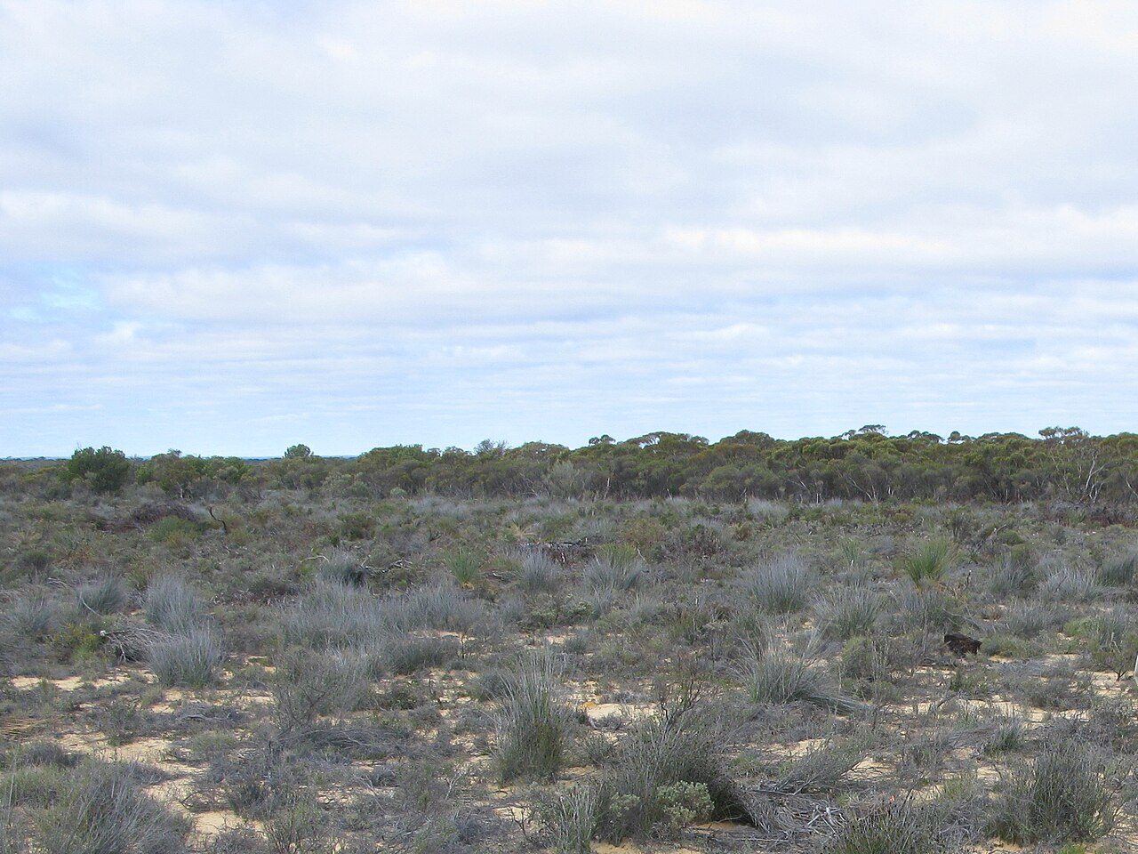
Photo: Aussie Oc at English Wikipedia via Wikimedia Commons, CC BY-SA 3.0. Cropped and resized for display.
Park facts
| Park type | National Park |
|---|---|
| Location | Australia |
| Area | 69,606 acres (28,168 ha) |
| Established | 1977 |
| Coordinates | 31.2383° S, 120.1690° E |
Every fact above is taken from the sources listed below; anything no source states is left blank rather than guessed.
About Boorabbin National Park
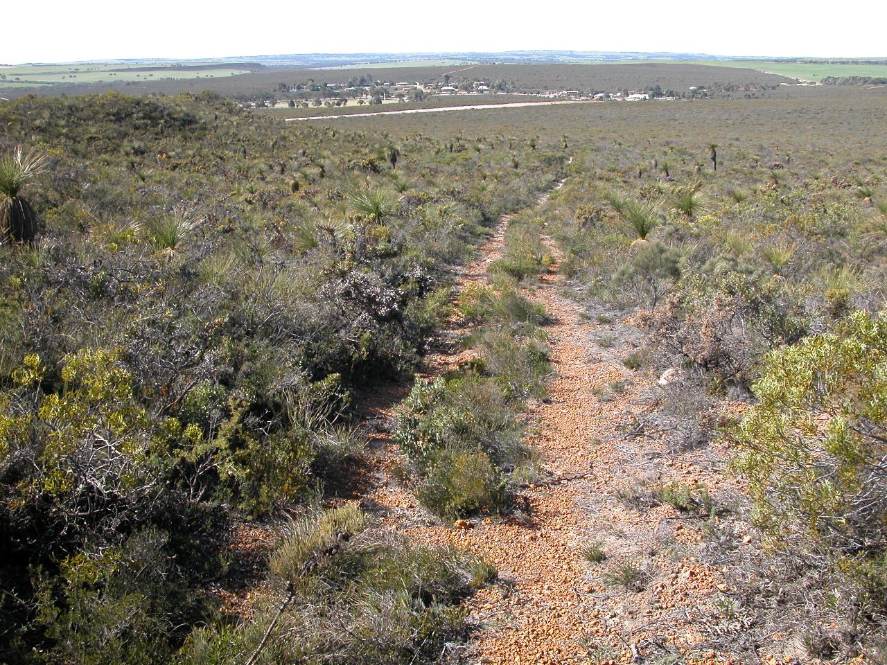
Boorabbin National Park is a national park in Western Australia, between Coolgardie and Southern Cross. It is located along the Great Eastern Highway for a distance of approximately 25 km with a width of 5 km on each side in Western Australia's eastern goldfields. The park gets its name from the Aboriginal named rock on the edge of the park and also the Boorabbin settlement, established in 1898. The Boorabbin National Park is situated on top of a plateau. The landscape is primarily sand and the vegetation there is quite distinctive growing in deep sands deposited over 50 million years ago.
Description from the park's Wikipedia article (CC BY-SA), linked in the sources below.
Airports near this park
The airports a visitor would actually fly into, nearest first — each link opens its profile on our sister site AirportProfiles.
- Kalgoorlie Boulder Airport (KGI) · Broadwood, Australia · 82.7 miles away
Parks nearby
More parks in Australia

Frequently asked questions
Where is Boorabbin National Park?
Boorabbin National Park is in Australia (31.2383° S, 120.1690° E).
When was Boorabbin National Park established?
Boorabbin National Park was established in 1977, per the source listed at the foot of this page.
How big is Boorabbin National Park?
Boorabbin National Park covers 69,606 acres (28,168 ha).
Sources
- https://www.wikidata.org/wiki/Q893086 — Wikidata (CC0) — name, country, coordinates, area, established year, highest point where stated.
- https://en.wikipedia.org/wiki/Boorabbin_National_Park — Wikipedia article — description (CC BY-SA).