
State Park · Indiana, United States
Brown County State Park
Brown County State Park is a state park in Indiana, United States, covering 15,776 acres (6,384 ha), established in 1929.
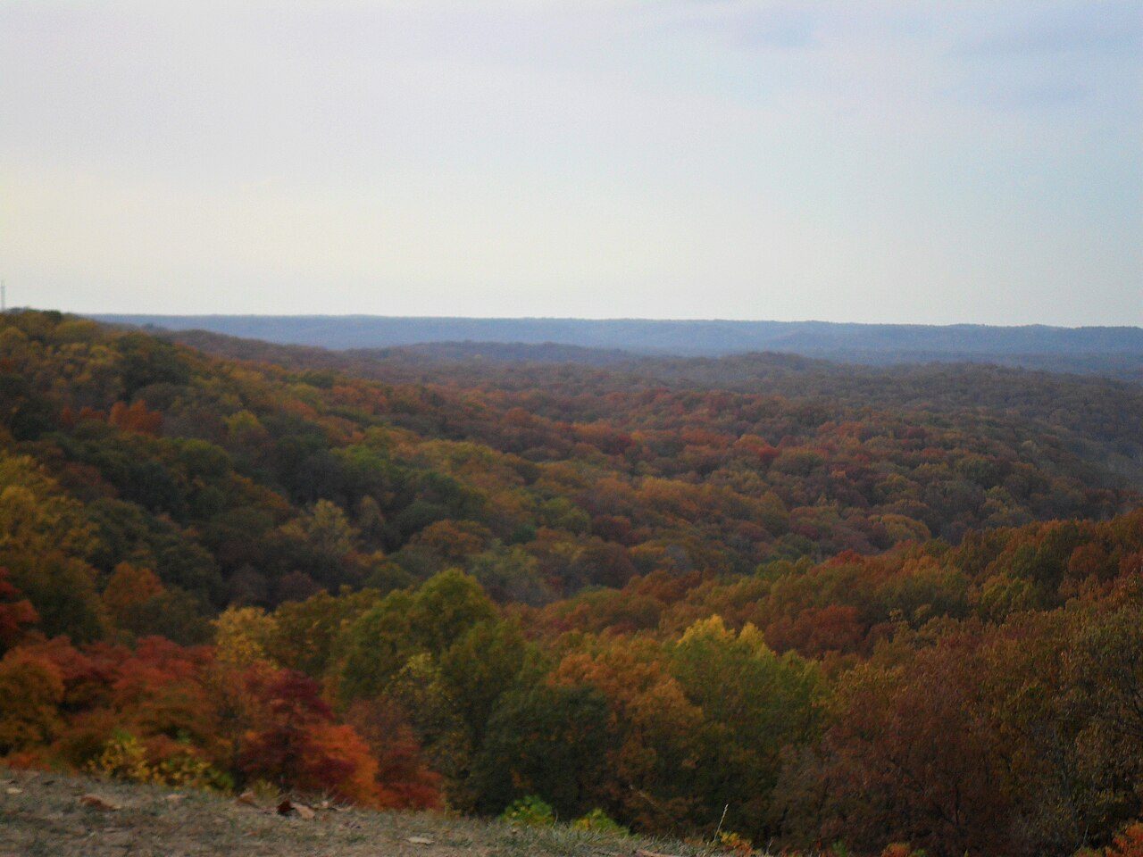
Photo: MrGreenBean ( talk ) via Wikimedia Commons, Public domain. Cropped and resized for display.
Park facts
| Park type | State Park |
|---|---|
| Location | Brown, Indiana, United States |
| Area | 15,776 acres (6,384 ha) |
| Established | 1929 |
| Coordinates | 39.1136° N, 86.2647° W |
| Managed by | Indiana state park system |
Every fact above is taken from the sources listed below; anything no source states is left blank rather than guessed.
About Brown County State Park
Brown County State Park is located in the United States in the center of the southern half of the state of Indiana. The park is by far the largest of 24 state parks in Indiana, and occupies 15,776 acres (63.84 km2)—making it one of the larger state parks in the United States. It is among Indiana's most visited state parks with about 1.2 million visitors annually. Although Bloomington, Indiana, is the closest city, the park is closer to the small town of Nashville in Brown County. Brown County is named for General Jacob Brown, who fought in the War of 1812 and became Commanding General of the United States Army.
Description from the park's Wikipedia article (CC BY-SA), linked in the sources below.
Airports near this park
The airports a visitor would actually fly into, nearest first — each link opens its profile on our sister site AirportProfiles.
- Indianapolis International Airport (IND) · Indianapolis, United States · 41.7 miles away
- Louisville Muhammad Ali International Airport (SDF) · Louisville, United States · 71.1 miles away
- Cincinnati Northern Kentucky International Airport (CVG) · Cincinnati / Covington, United States · 85.8 miles away
Parks nearby
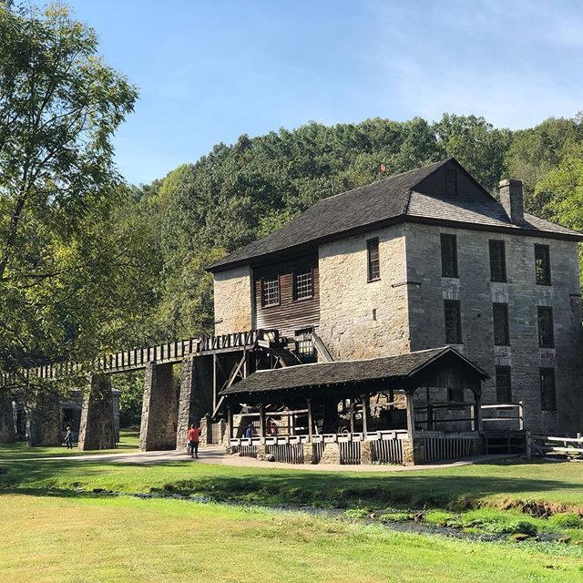
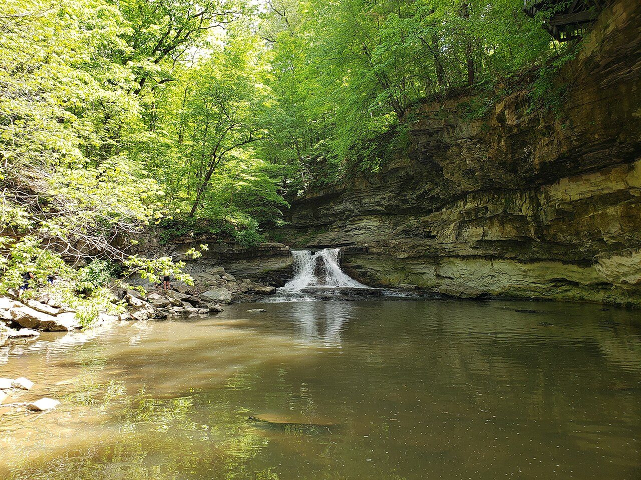
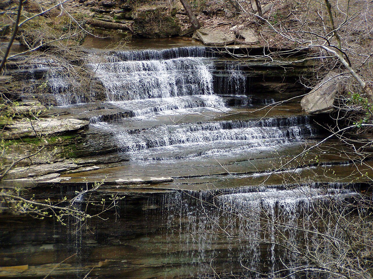
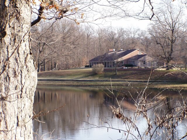
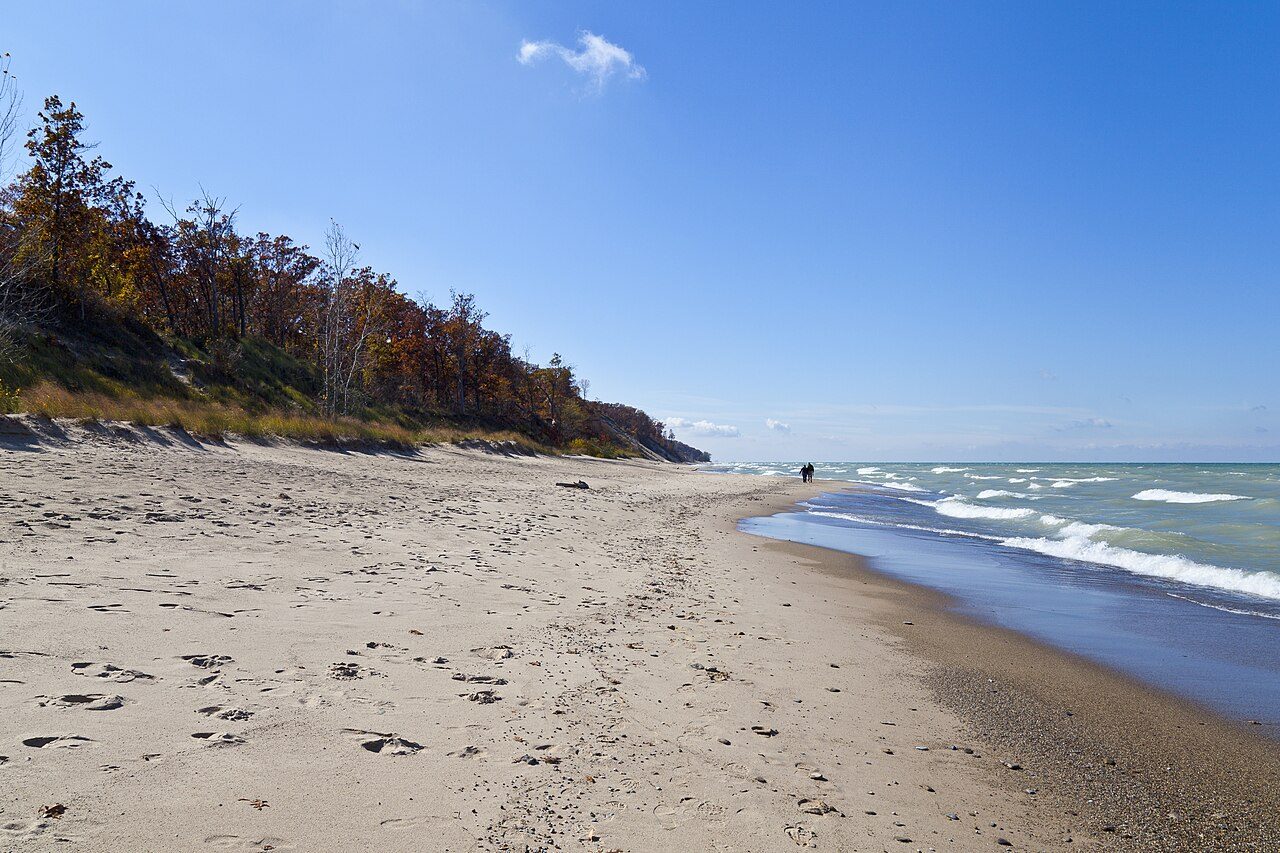
More parks in Indiana
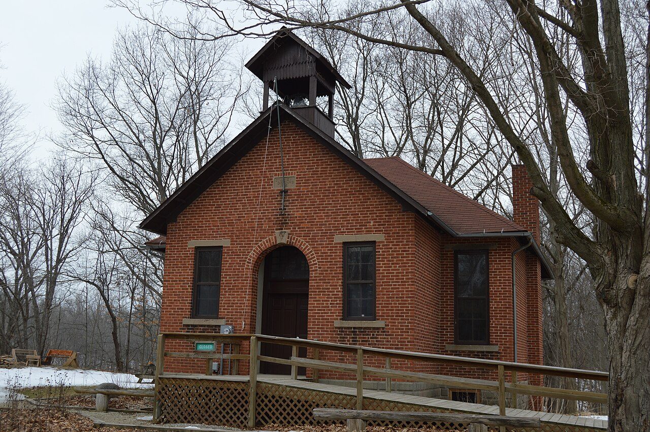
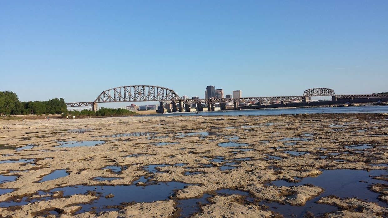

Frequently asked questions
Where is Brown County State Park?
Brown County State Park is in Indiana, United States (39.1136° N, 86.2647° W).
When was Brown County State Park established?
Brown County State Park was established in 1929, per the source listed at the foot of this page.
How big is Brown County State Park?
Brown County State Park covers 15,776 acres (6,384 ha).
Sources
- https://en.wikipedia.org/wiki/List_of_Indiana_state_parks — Wikipedia list of Indiana state parks — park name, county/location, size, year where the table states them.
- https://en.wikipedia.org/wiki/Brown_County_State_Park — Wikipedia article — description (CC BY-SA).