
State Park · Alabama, United States
Buck's Pocket State Park
Buck's Pocket State Park is a state park in Alabama, United States, established in 1971.
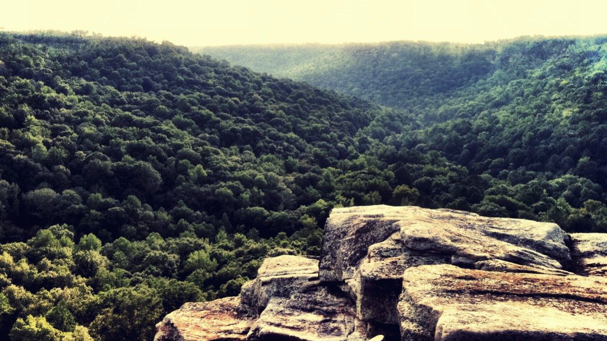
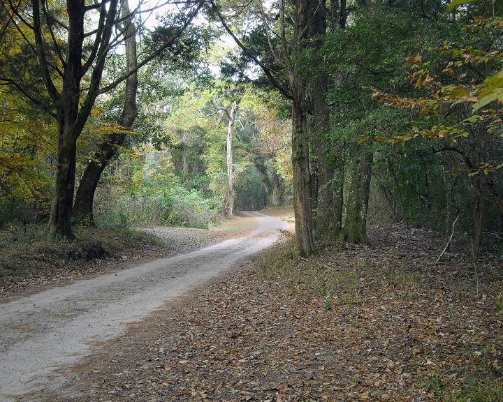
Photo: Aaron Davis from Guntersville, AL, USA via Wikimedia Commons, CC BY 2.0. Cropped and resized for display.
Park facts
| Park type | State Park |
|---|---|
| Location | DeKalb , Jackson , Marshall, Alabama, United States |
| Established | 1971 |
| Coordinates | 34.4708° N, 86.0644° W |
| Managed by | Alabama state park system |
Every fact above is taken from the sources listed below; anything no source states is left blank rather than guessed.
About Buck's Pocket State Park
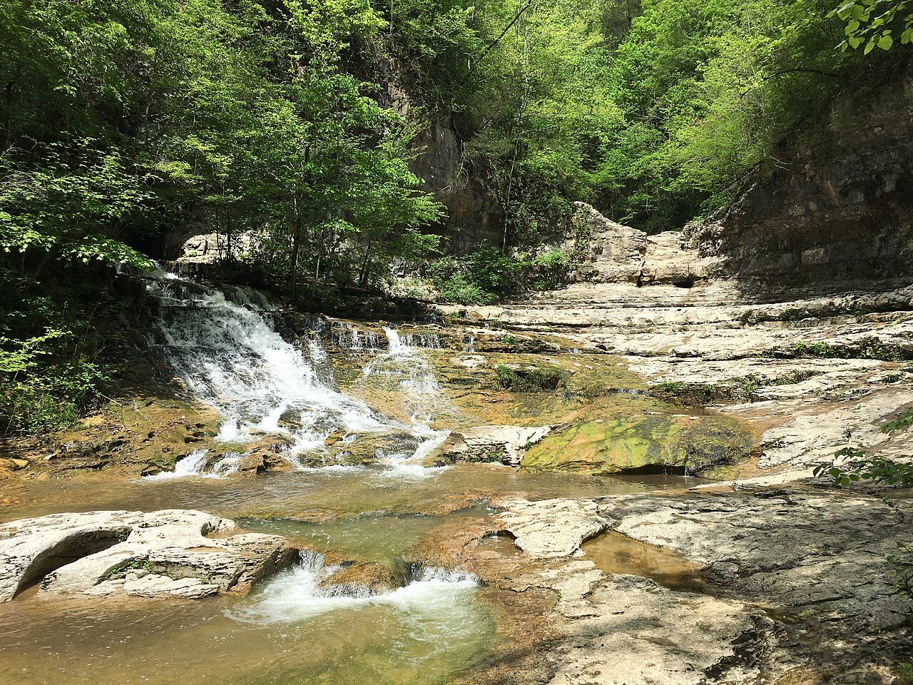
Buck's Pocket State Park is a public recreation area located on Sand Mountain in the northeast corner of the U.S. state of Alabama, two miles (3.2 km) north of the community of Grove Oak. The state park occupies 2,000 acres (810 ha) surrounding a natural pocket (canyon) of the Appalachian Mountain chain along South Sauty Creek, an upstream tributary on the east side of Guntersville Lake. The park is known for the sweeping views of its rugged, seemingly untouched landscape provided from the heights of Point Rock.
Description from the park's Wikipedia article (CC BY-SA), linked in the sources below.
Planning your visit
Getting there
| Nearest town | Grove Oak, Alabama |
|---|---|
| Getting there | about 2 miles north of Grove Oak |
Airports near this park
The airports a visitor would actually fly into, nearest first — each link opens its profile on our sister site AirportProfiles.
- Birmingham-Shuttlesworth International Airport (BHM) · Birmingham, United States · 74.0 miles away
- Hartsfield Jackson Atlanta International Airport (ATL) · Atlanta, United States · 110.0 miles away
- Nashville International Airport (BNA) · Nashville, United States · 119.4 miles away
Parks nearby
More parks in Alabama

Frequently asked questions
Where is Buck's Pocket State Park?
Buck's Pocket State Park is in Alabama, United States (34.4708° N, 86.0644° W).
When was Buck's Pocket State Park established?
Buck's Pocket State Park was established in 1971, per the source listed at the foot of this page.
How do I get to Buck's Pocket State Park?
The nearest town is Grove Oak, Alabama. about 2 miles north of Grove Oak.
Sources
- https://en.wikipedia.org/wiki/List_of_Alabama_state_parks — Wikipedia list of Alabama state parks — park name, county/location, size, year where the table states them.
- https://en.wikipedia.org/wiki/Buck's_Pocket_State_Park — Wikipedia article — description (CC BY-SA).