
National Park · Philippines
Bulabog Putian National Park
Bulabog Putian National Park is a national park in Philippines, covering 211,028 acres (85,400 ha), established in 1961.
National Park · Philippines
No freely licensed photograph of this park is in our library yet — rather than borrow a picture of somewhere else, this profile leads with its verified facts.
Park facts
| Park type | National Park |
|---|---|
| Location | Philippines |
| Area | 211,028 acres (85,400 ha) |
| Established | 1961 |
| Coordinates | 11.0399° N, 122.6610° E |
Every fact above is taken from the sources listed below; anything no source states is left blank rather than guessed.
About Bulabog Putian National Park
The Bulabog Putian National Park is a protected wildlife and natural park located in the towns of Dingle and San Enrique in the province of Iloilo on the island of Panay in the Western Visayas region. The park covers an area of 854.33 hectares (2,111.1 acres) along a 40 kilometers (25 mi) trail in this rainforest. It was established in 1961 through Proclamation No. 760 signed by President Carlos P. Garcia. The park is known for its unique geological formation and is the only limestone mountain formation in Iloilo. It is also known as the location of the Cry of Lincud that started the Philippine Revolution in Iloilo in 1898.
Description from the park's Wikipedia article (CC BY-SA), linked in the sources below.
Planning your visit
What to do
Airports near this park
The airports a visitor would actually fly into, nearest first — each link opens its profile on our sister site AirportProfiles.
- Iloilo International Airport (ILO) · Cabatuan, Philippines · 18.3 miles away
- Bacolod-Silay International Airport (BCD) · Bacolod City, Philippines · 30.4 miles away
- Kalibo International Airport (KLO) · Kalibo, Philippines · 48.2 miles away
Parks nearby
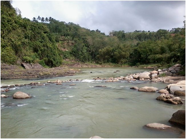
Northern Negros Natural Park
Guadalupe Mabugnao Mainit Hot Spring National Park
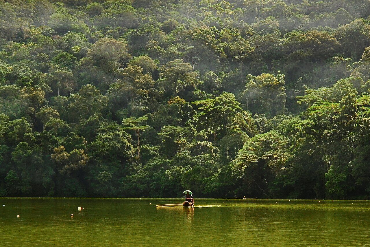
Bulusan Volcano Natural Park
Kuapnit Balinsasayao National Park
MacArthur Landing Memorial National Park
Mounts Iglit–Baco National Park
More parks in Philippines
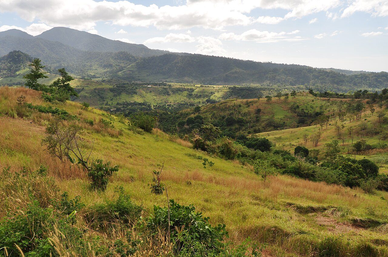
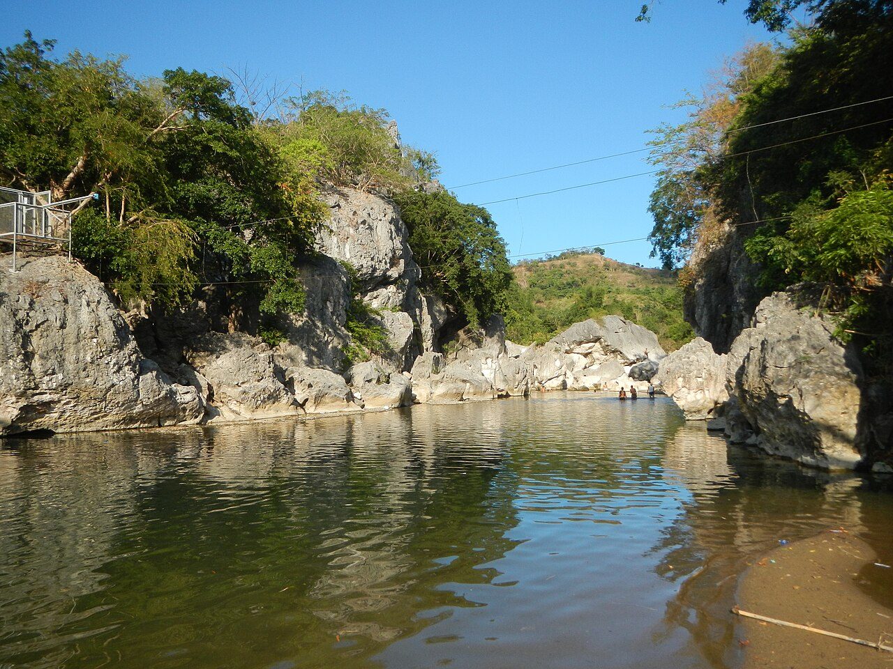
Frequently asked questions
Where is Bulabog Putian National Park?
Bulabog Putian National Park is in Philippines (11.0399° N, 122.6610° E).
When was Bulabog Putian National Park established?
Bulabog Putian National Park was established in 1961, per the source listed at the foot of this page.
How big is Bulabog Putian National Park?
Bulabog Putian National Park covers 211,028 acres (85,400 ha).
Sources
- https://www.wikidata.org/wiki/Q1003457 — Wikidata (CC0) — name, country, coordinates, area, established year, highest point where stated.
- https://en.wikipedia.org/wiki/Bulabog_Putian_National_Park — Wikipedia article — description (CC BY-SA).