
National Park · Costa Rica
Cahuita National Park
Cahuita National Park is a national park in Costa Rica, covering 60,274 acres (24,392 ha), established in 1978.
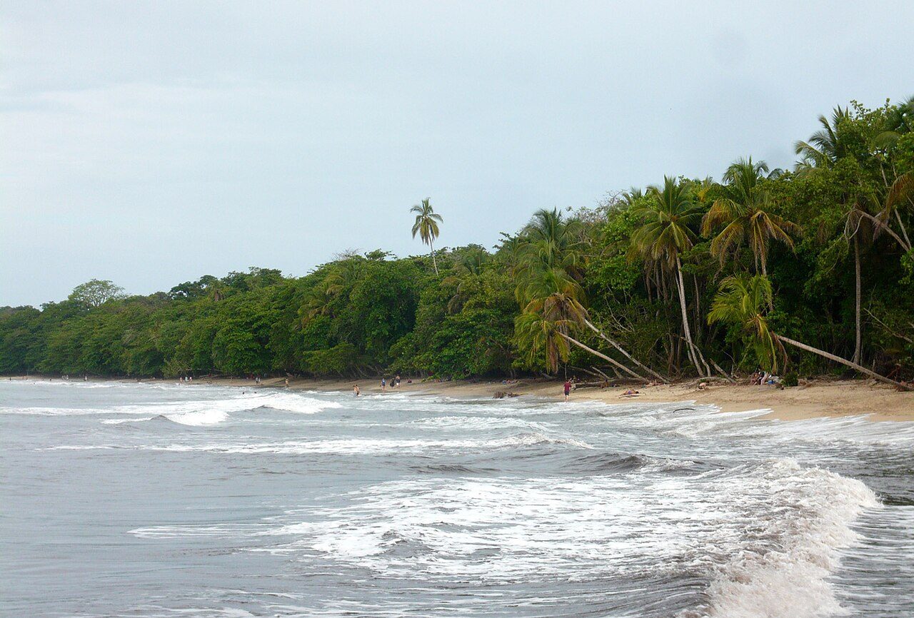
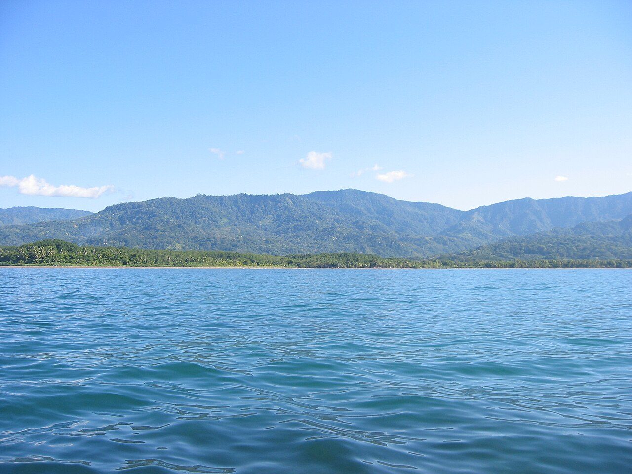
Photo: Haakon S. Krohn via Wikimedia Commons, CC BY-SA 3.0. Cropped and resized for display.
Park facts
| Park type | National Park |
|---|---|
| Location | Costa Rica |
| Area | 60,274 acres (24,392 ha) |
| Established | 1978 |
| Coordinates | 9.7292° N, 82.8250° W |
Every fact above is taken from the sources listed below; anything no source states is left blank rather than guessed.
About Cahuita National Park
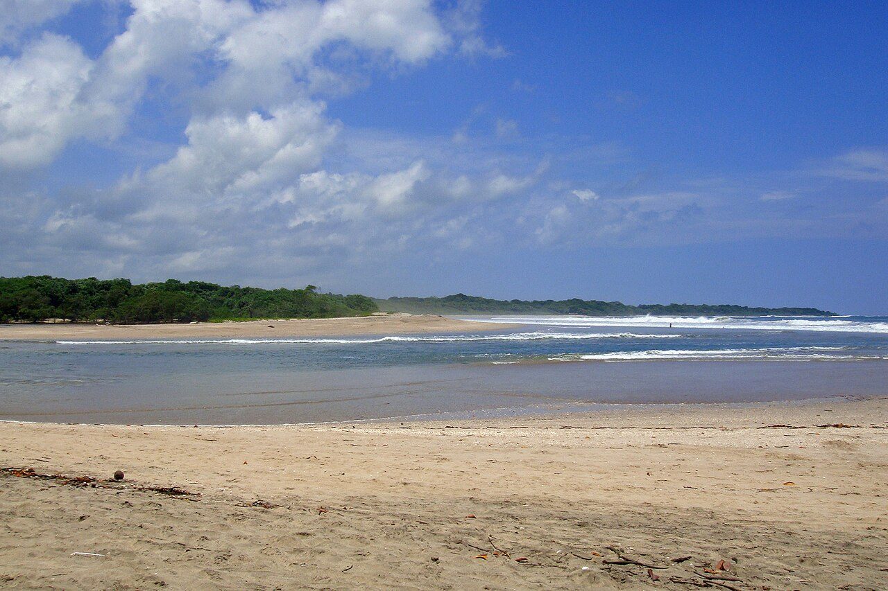
Cahuita National Park is a terrestrial and marine national park in the Caribbean La Amistad Conservation Area of Costa Rica located on the southern Caribbean coast in Limón Province, connected to the town of Cahuita. It protects beaches and lowlands and attracts tourists and other visitors who are able to snorkel in the protected marine area which contains the coralline reefs, as well as being a nesting ground for sea turtles. It covers a land area of 2,732 acres (1,106 ha), and a marine area of 55,200 acres (22,300 ha). February through April typically have the best underwater visibility.
Description from the park's Wikipedia article (CC BY-SA), linked in the sources below.
Planning your visit
What to do
Airports near this park
The airports a visitor would actually fly into, nearest first — each link opens its profile on our sister site AirportProfiles.
- Juan Santamaría International Airport (SJO) · San José (Alajuela), Costa Rica · 96.0 miles away
Parks nearby
La Amistad International Park
Barbilla National Park
Chirripó National Park
Bastimentos Island National Marine Park
Tortuguero National Park
Tapantí National Park
More parks in Costa Rica

Frequently asked questions
Where is Cahuita National Park?
Cahuita National Park is in Costa Rica (9.7292° N, 82.8250° W).
When was Cahuita National Park established?
Cahuita National Park was established in 1978, per the source listed at the foot of this page.
How big is Cahuita National Park?
Cahuita National Park covers 60,274 acres (24,392 ha).
Sources
- https://www.wikidata.org/wiki/Q2546988 — Wikidata (CC0) — name, country, coordinates, area, established year, highest point where stated.
- https://en.wikipedia.org/wiki/Cahuita_National_Park — Wikipedia article — description (CC BY-SA).