
State Park · Vermont, United States
Camel's Hump State Park
Camel's Hump State Park is a state park in Vermont, United States.
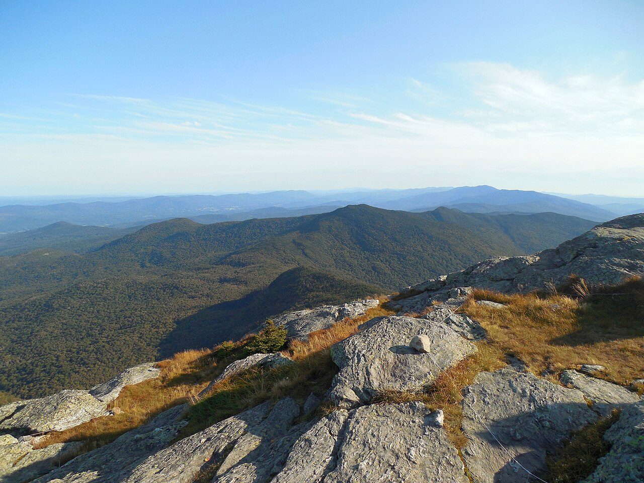
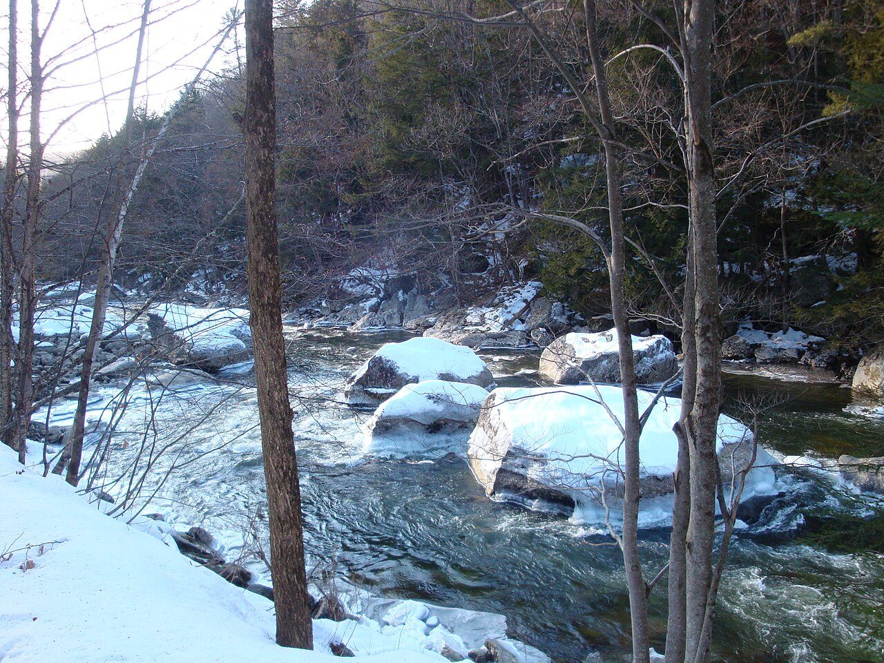
Photo: Niranjan Arminius via Wikimedia Commons, CC BY-SA 4.0. Cropped and resized for display.
Park facts
| Park type | State Park |
|---|---|
| Location | Chittenden , Washington, Vermont, United States |
| Coordinates | 44.2267° N, 72.9333° W |
| Managed by | Vermont state park system |
Every fact above is taken from the sources listed below; anything no source states is left blank rather than guessed.
About Camel's Hump State Park
Camel's Hump State Park is a state park in the U.S. state of Vermont. The park straddles the northern Green Mountains in an area bounded by Vermont Route 17 on the south and the Winooski River on the north. As of 2017, the park covered a total of 21,224 acres (8,589 ha), making it the largest state park in Vermont. The primary natural feature in the park is Camel's Hump, the third highest mountain in Vermont at 4,085 feet (1,245 m).
Description from the park's Wikipedia article (CC BY-SA), linked in the sources below.
Airports near this park
The airports a visitor would actually fly into, nearest first — each link opens its profile on our sister site AirportProfiles.
- Montreal / Pierre Elliott Trudeau International Airport (YUL) · Montréal, Canada · 94.5 miles away
- Albany International Airport (ALB) · Albany, United States · 111.0 miles away
- Portland International Jetport (PWM) · Portland, United States · 136.6 miles away
Parks nearby
More parks in Vermont

Frequently asked questions
Where is Camel's Hump State Park?
Camel's Hump State Park is in Vermont, United States (44.2267° N, 72.9333° W).
Sources
- https://en.wikipedia.org/wiki/List_of_Vermont_state_parks — Wikipedia list of Vermont state parks — park name, county/location, size, year where the table states them.
- https://en.wikipedia.org/wiki/Camel's_Hump_State_Park — Wikipedia article — description (CC BY-SA).