
State Park · Massachusetts, United States
Castle Island
Castle Island is a state park in Massachusetts, United States, covering 22.0 acres (8.9 ha).
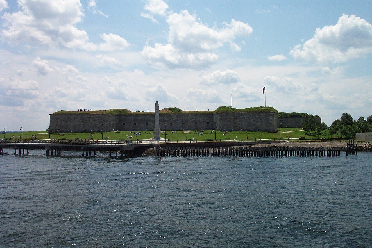
Photo: Chris Wood ( User:chris_j_wood ). via Wikimedia Commons, CC BY-SA 4.0. Cropped and resized for display.
Park facts
| Park type | State Park |
|---|---|
| Location | Suffolk 42°20′15″N 71°0′38″W / 42.33750°N 71.01056°W / 42.33750; -71.01056 ( Castle Island ), Massachusetts, United States |
| Area | 22.0 acres (8.9 ha) |
| Coordinates | 42.3381° N, 71.0111° W |
| Managed by | Massachusetts state park system |
Every fact above is taken from the sources listed below; anything no source states is left blank rather than guessed.
About Castle Island
Castle Island is a peninsula in South Boston on the shore of Boston Harbor. The landmass was an island until 1928, when it was connected to the mainland by a narrow strip of land. Castle Island has been the site of a fortification since 1634, and is currently a recreation site and the location of Fort Independence.
Description from the park's Wikipedia article (CC BY-SA), linked in the sources below.
Airports near this park
The airports a visitor would actually fly into, nearest first — each link opens its profile on our sister site AirportProfiles.
- Boston Logan International Airport (BOS) · Boston, United States · 1.7 miles away
- Rhode Island T. F. Green International Airport (PVD) · Providence/Warwick, United States · 47.4 miles away
- Bradley International Airport (BDL) · Hartford, United States · 90.2 miles away
Parks nearby
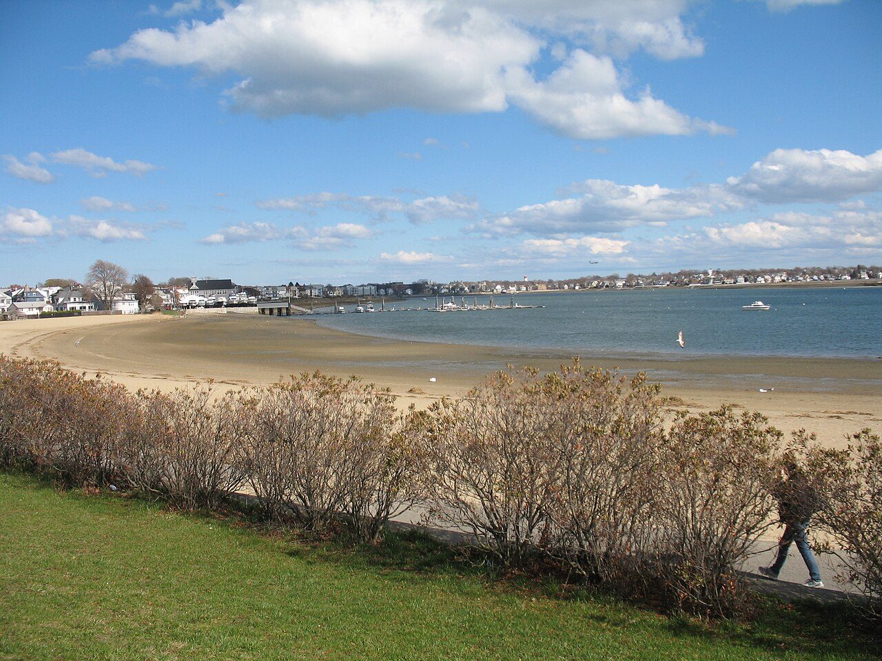
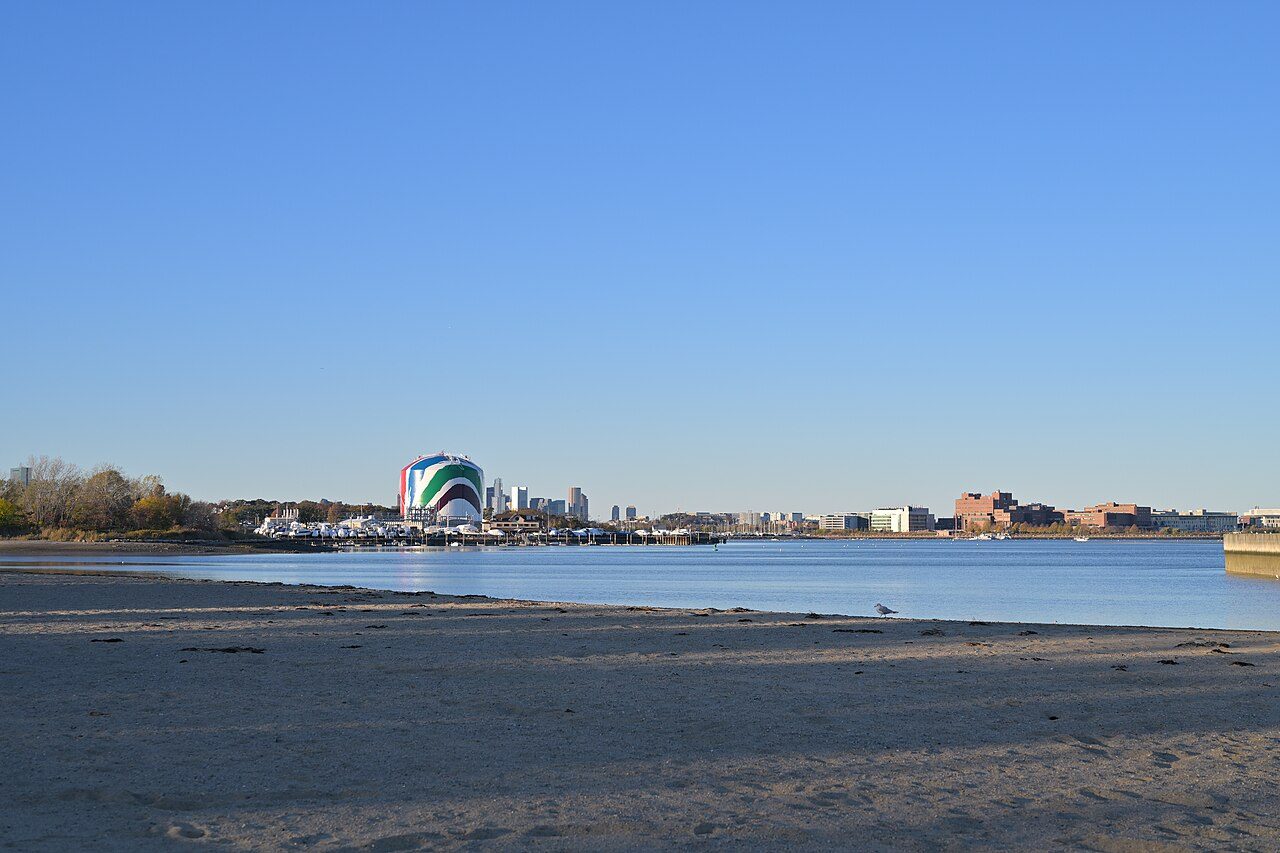
More parks in Massachusetts
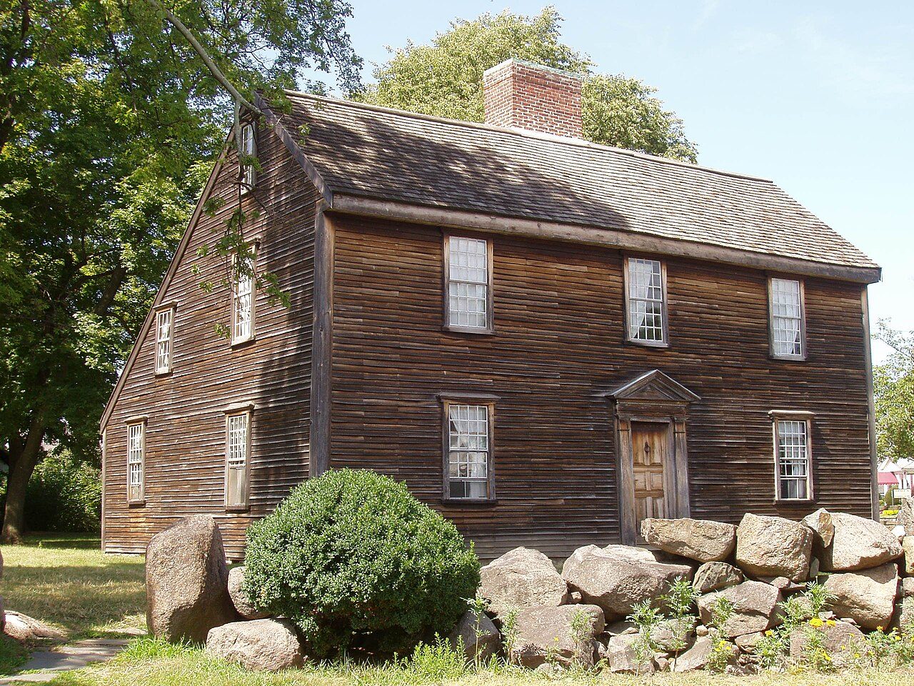
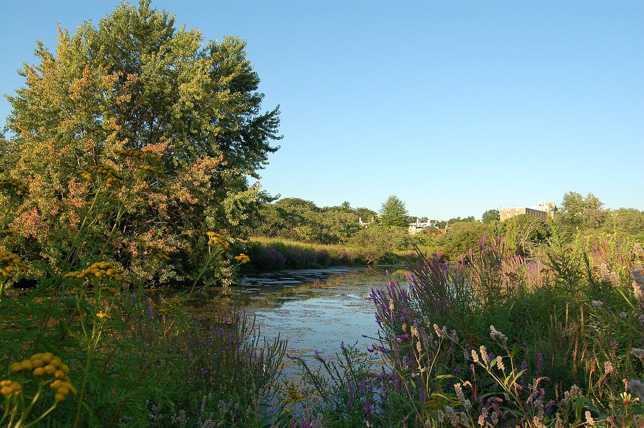

Frequently asked questions
Where is Castle Island?
Castle Island is in Massachusetts, United States (42.3381° N, 71.0111° W).
How big is Castle Island?
Castle Island covers 22.0 acres (8.9 ha).
Sources
- https://en.wikipedia.org/wiki/List_of_Massachusetts_state_parks — Wikipedia list of Massachusetts state parks — park name, county/location, size, year where the table states them.
- https://en.wikipedia.org/wiki/Castle_Island_(Massachusetts) — Wikipedia article — description (CC BY-SA).