
National Park · Thailand
Chaloem Rattanakosin National Park
Chaloem Rattanakosin National Park is a national park in Thailand, covering 14,579 acres (5,900 ha), established in 1980.

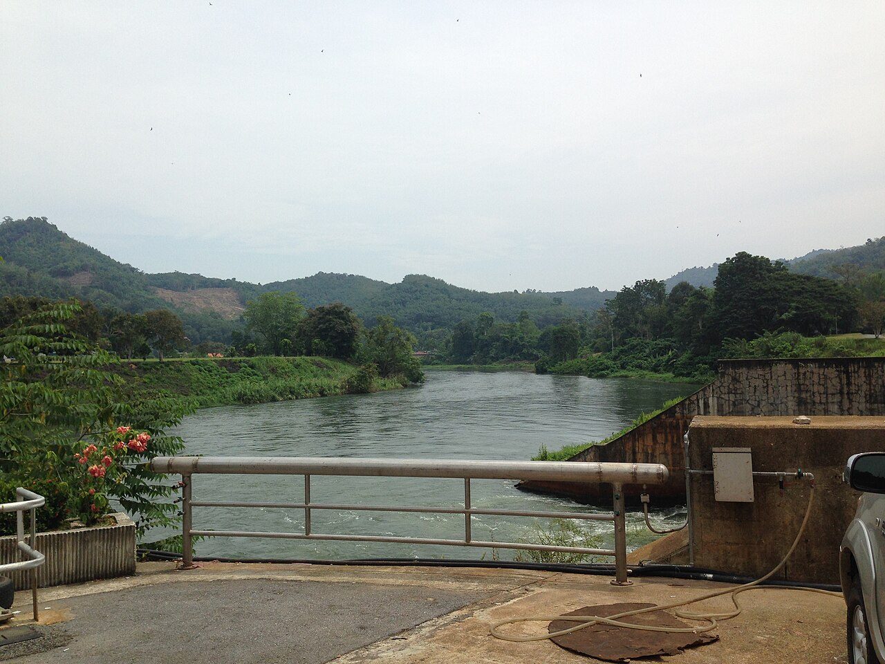
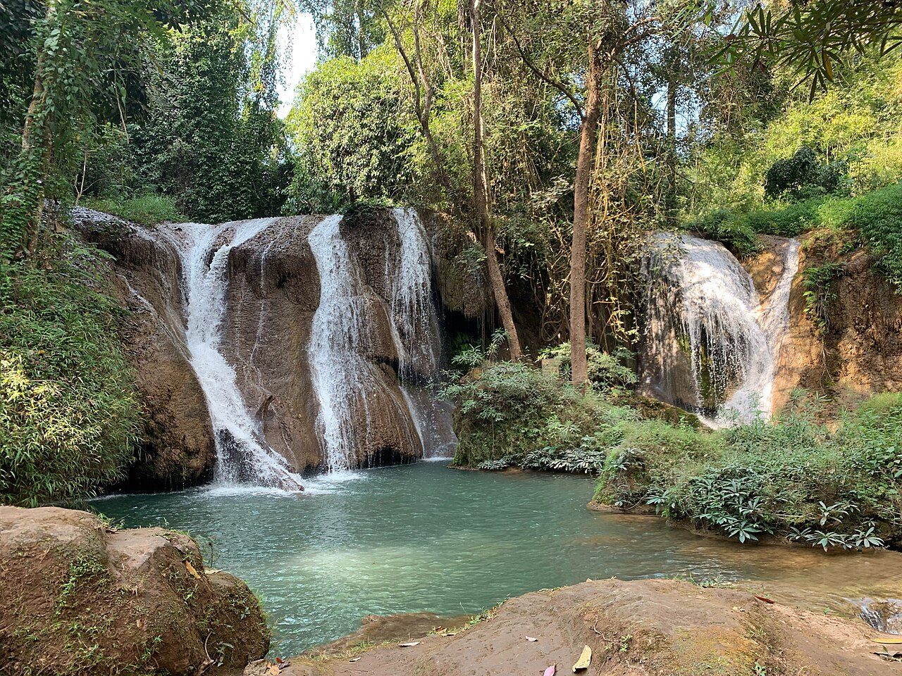
Photo: Apijate Rungwijitsin via Wikimedia Commons, CC BY-SA 4.0. Cropped and resized for display.
Park facts
| Park type | National Park |
|---|---|
| Location | Thailand |
| Area | 14,579 acres (5,900 ha) |
| Established | 1980 |
| Coordinates | 14.6667° N, 99.3000° E |
Every fact above is taken from the sources listed below; anything no source states is left blank rather than guessed.
About Chaloem Rattanakosin National Park
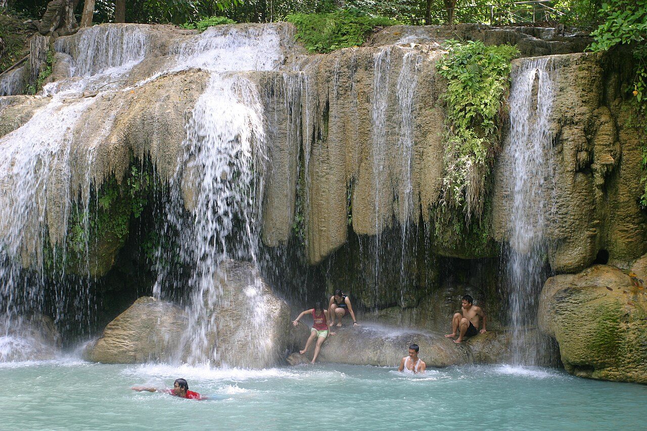
Chaloem Rattanakosin National Park (Thai: อุทยานแห่งชาติเฉลิมรัตนโกสินทร์), also known as Tham Than Lot National Park (อุทยานแห่งชาติถ้ำธารลอด), is a national park in Kanchanaburi Province, Thailand. The park, featuring mountains, caves and waterfalls, is part of the Western Forest Complex protected area.
Description from the park's Wikipedia article (CC BY-SA), linked in the sources below.
Airports near this park
The airports a visitor would actually fly into, nearest first — each link opens its profile on our sister site AirportProfiles.
- Don Mueang International Airport (DMK) · Bangkok, Thailand · 101.8 miles away
- Suvarnabhumi Airport (BKK) · Bangkok, Thailand · 118.5 miles away
Parks nearby

More parks in Thailand



Frequently asked questions
Where is Chaloem Rattanakosin National Park?
Chaloem Rattanakosin National Park is in Thailand (14.6667° N, 99.3000° E).
When was Chaloem Rattanakosin National Park established?
Chaloem Rattanakosin National Park was established in 1980, per the source listed at the foot of this page.
How big is Chaloem Rattanakosin National Park?
Chaloem Rattanakosin National Park covers 14,579 acres (5,900 ha).
Sources
- https://www.wikidata.org/wiki/Q1968775 — Wikidata (CC0) — name, country, coordinates, area, established year, highest point where stated.
- https://en.wikipedia.org/wiki/Chaloem_Rattanakosin_National_Park — Wikipedia article — description (CC BY-SA).