
State Park · Louisiana, United States
Chemin-A-Haut State Park
Chemin-A-Haut State Park is a state park in Louisiana, United States, covering 503 acres (204 ha), established in 1935.
State Park · Louisiana, United States
No freely licensed photograph of this park is in our library yet — rather than borrow a picture of somewhere else, this profile leads with its verified facts.
Park facts
| Park type | State Park |
|---|---|
| Location | Morehouse, Louisiana, United States |
| Area | 503 acres (204 ha) |
| Established | 1935 |
| Coordinates | 32.9100° N, 91.8450° W |
| Managed by | Louisiana state park system |
Every fact above is taken from the sources listed below; anything no source states is left blank rather than guessed.
About Chemin-A-Haut State Park
Chemin-A-Haut State Park is a 503-acre (2.04 km2) site located in northern Morehouse Parish, Louisiana. Visitors may access the park from U.S. Highway 425 about 10 miles (16 km) north of Bastrop. Chemin-à-Haut means "High Road" in French. Much of the park is on a high bluff overlooking winding Bayou Bartholomew. Chemin-A-Haut was one of the earliest additions to the Louisiana State Park system. The Nature Conservancy in Louisiana has recently acquired the 247-acre (1.00 km2) DeBlieux tract, located in a large bend of Bayou Bartholomew, and will eventually transfer the land to the State of Louisiana.
Description from the park's Wikipedia article (CC BY-SA), linked in the sources below.
Planning your visit
Getting there
| Nearest town | Bastrop, Louisiana |
|---|---|
| Getting there | about 10 miles north of Bastrop |
Airports near this park
The airports a visitor would actually fly into, nearest first — each link opens its profile on our sister site AirportProfiles.
- Monroe Regional Airport (MLU) · Monroe, United States · 29.8 miles away
- South Arkansas Regional Airport at Goodwin Field (ELD) · El Dorado, United States · 60.0 miles away
- Mid Delta Regional Airport (GLH) · Greenville, United States · 63.5 miles away
Parks nearby
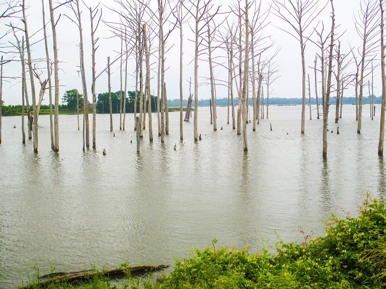
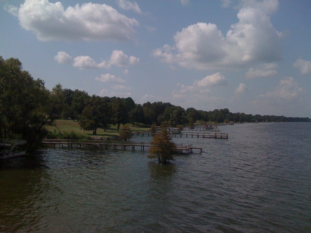
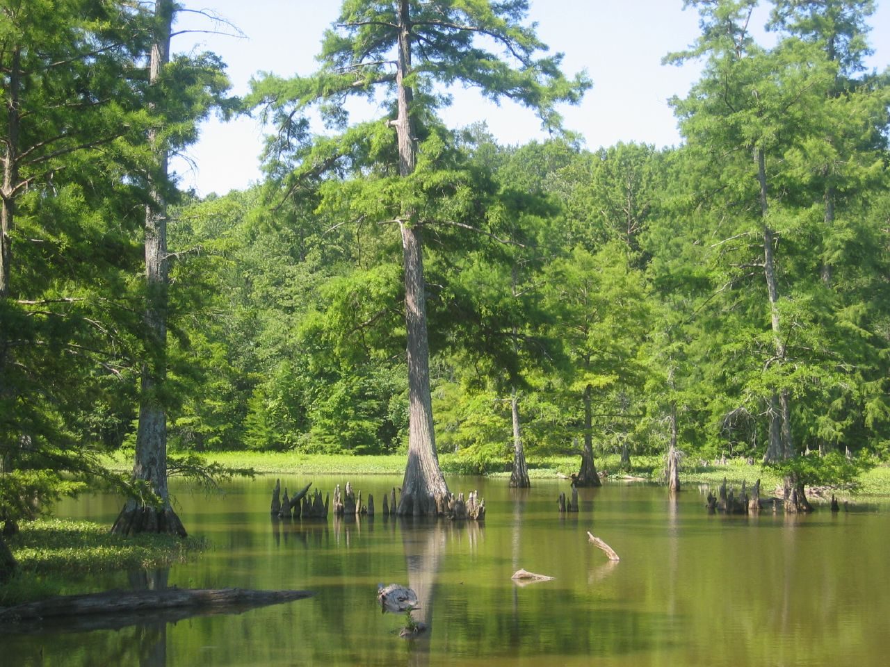
More parks in Louisiana
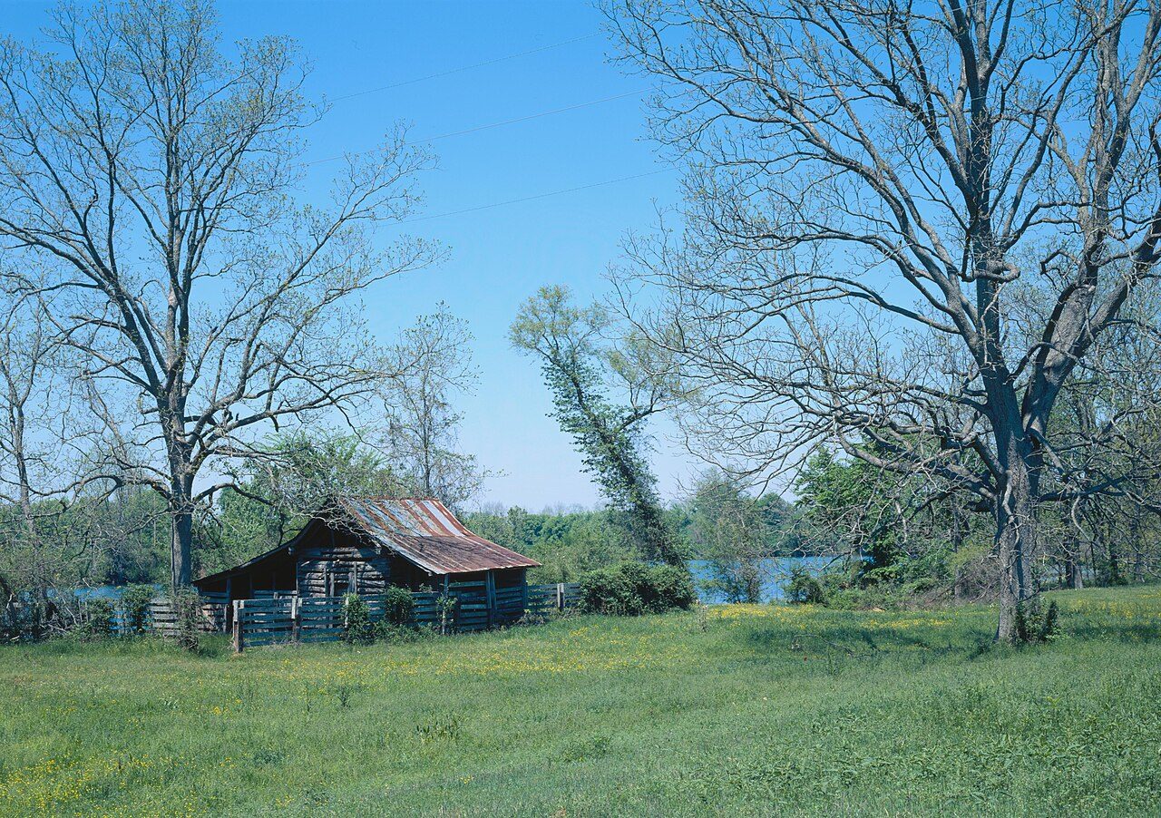

Frequently asked questions
Where is Chemin-A-Haut State Park?
Chemin-A-Haut State Park is in Louisiana, United States (32.9100° N, 91.8450° W).
When was Chemin-A-Haut State Park established?
Chemin-A-Haut State Park was established in 1935, per the source listed at the foot of this page.
How big is Chemin-A-Haut State Park?
Chemin-A-Haut State Park covers 503 acres (204 ha).
How do I get to Chemin-A-Haut State Park?
The nearest town is Bastrop, Louisiana. about 10 miles north of Bastrop.
Sources
- https://en.wikipedia.org/wiki/List_of_Louisiana_state_parks — Wikipedia list of Louisiana state parks — park name, county/location, size, year where the table states them.
- https://en.wikipedia.org/wiki/Chemin-A-Haut_State_Park — Wikipedia article — description (CC BY-SA).