
State Park · Georgia, United States
Crooked River State Park
Crooked River State Park is a state park in Georgia, United States.
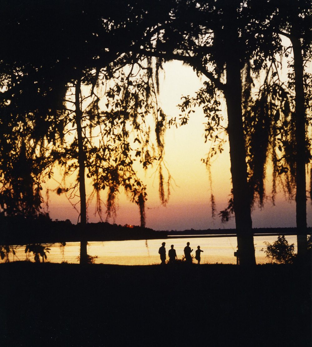
Photo: anoldent from Asheville, NC, USA via Wikimedia Commons, CC BY-SA 2.0. Cropped and resized for display.
Park facts
| Park type | State Park |
|---|---|
| Location | Camden, Georgia, United States |
| Coordinates | 30.8422° N, 81.5525° W |
| Managed by | Georgia state park system |
Every fact above is taken from the sources listed below; anything no source states is left blank rather than guessed.
About Crooked River State Park
Crooked River State Park is a 500-acre (2.0 km2) Georgia state park located near St. Marys on the south bank of the Crooked River in Camden County. The park is operated by the Georgia Department of Natural Resources and preserves coastal forest and salt marsh habitat while providing environmental education programs. Nearby are the ruins of the McIntosh Sugarworks, a tabby mill built around 1825 that was later used to produce starch during the American Civil War; the sugarworks were added to the National Register of Historic Places in 1992 (NRHP reference no. 92000167). The park is a short drive from St.
Description from the park's Wikipedia article (CC BY-SA), linked in the sources below.
Airports near this park
The airports a visitor would actually fly into, nearest first — each link opens its profile on our sister site AirportProfiles.
- Jacksonville International Airport (JAX) · Jacksonville, United States · 25.5 miles away
- Savannah Hilton Head International Airport (SAV) · Savannah, United States · 91.1 miles away
- Orlando Sanford International Airport (SFB) · Orlando, United States · 144.1 miles away
Parks nearby
Cumberland Island National Seashore
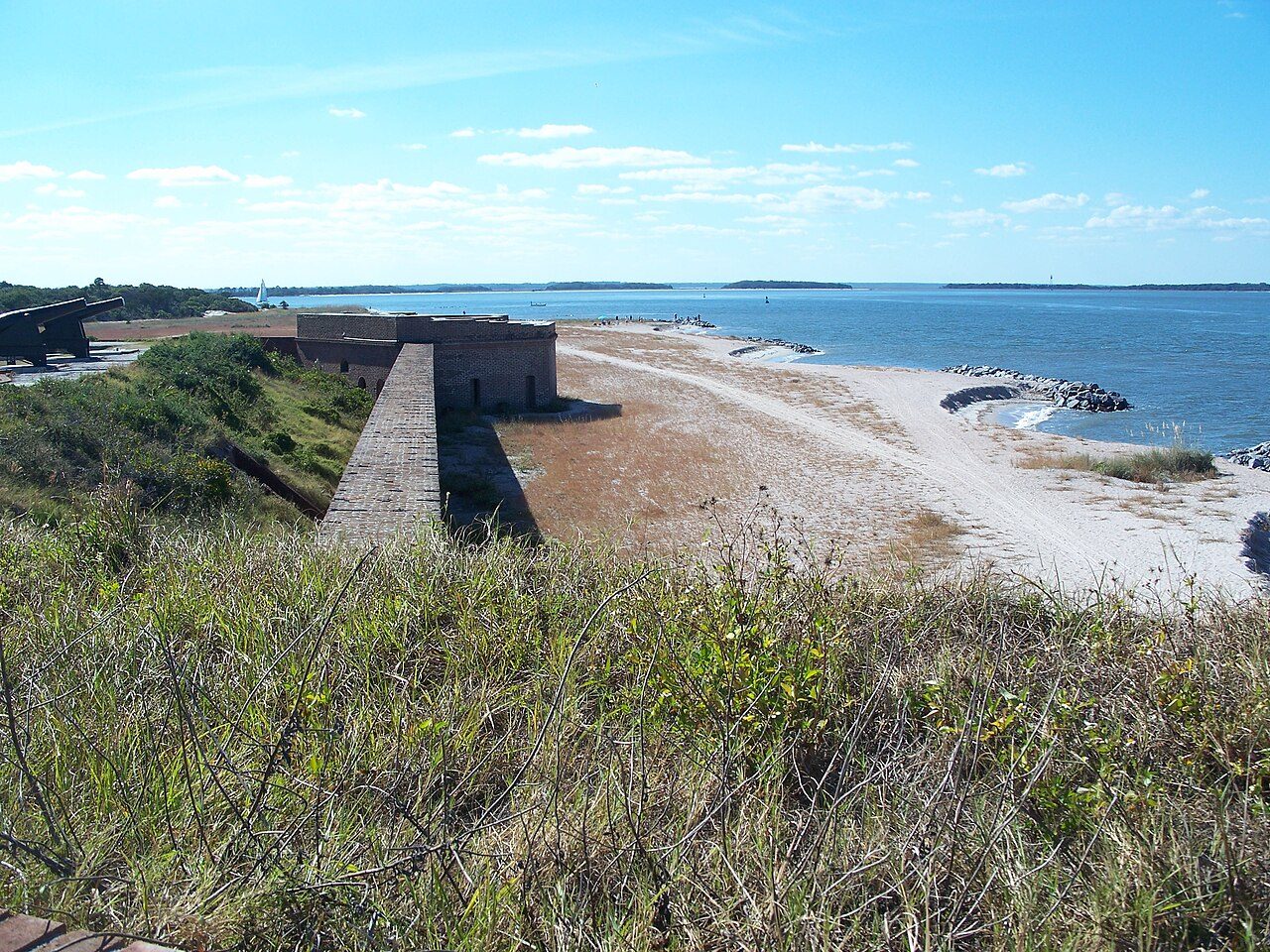
Fort Clinch State Park
Fernandina Plaza Historic State Park
Jekyll Island State Park
George Crady Bridge Fishing Pier State Park
Amelia Island State Park
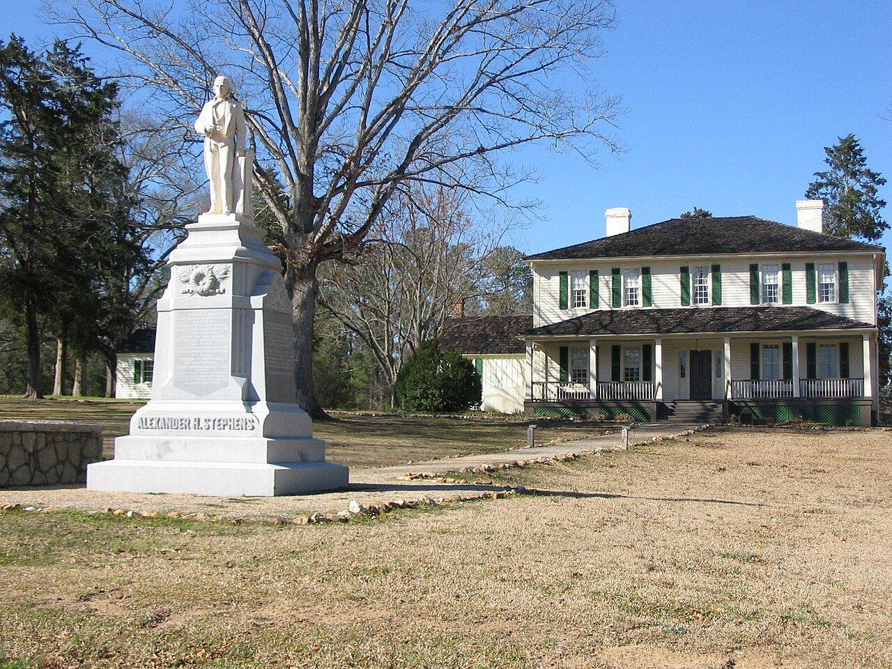
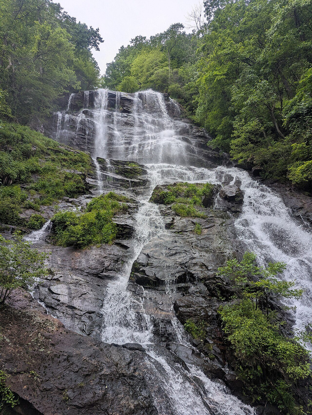
More parks in Georgia

Frequently asked questions
Where is Crooked River State Park?
Crooked River State Park is in Georgia, United States (30.8422° N, 81.5525° W).
Sources
- https://en.wikipedia.org/wiki/List_of_Georgia_state_parks — Wikipedia list of Georgia state parks — park name, county/location, size, year where the table states them.
- https://en.wikipedia.org/wiki/Crooked_River_State_Park — Wikipedia article — description (CC BY-SA).