
National Park · Australia
Currawinya National Park
Currawinya National Park is a national park in Australia, covering 849,780 acres (343,894 ha), established in 1991.
National Park · Australia
No freely licensed photograph of this park is in our library yet — rather than borrow a picture of somewhere else, this profile leads with its verified facts.
Park facts
| Park type | National Park |
|---|---|
| Location | Australia |
| Area | 849,780 acres (343,894 ha) |
| Established | 1991 |
| Coordinates | 28.7837° S, 144.4780° E |
Every fact above is taken from the sources listed below; anything no source states is left blank rather than guessed.
About Currawinya National Park
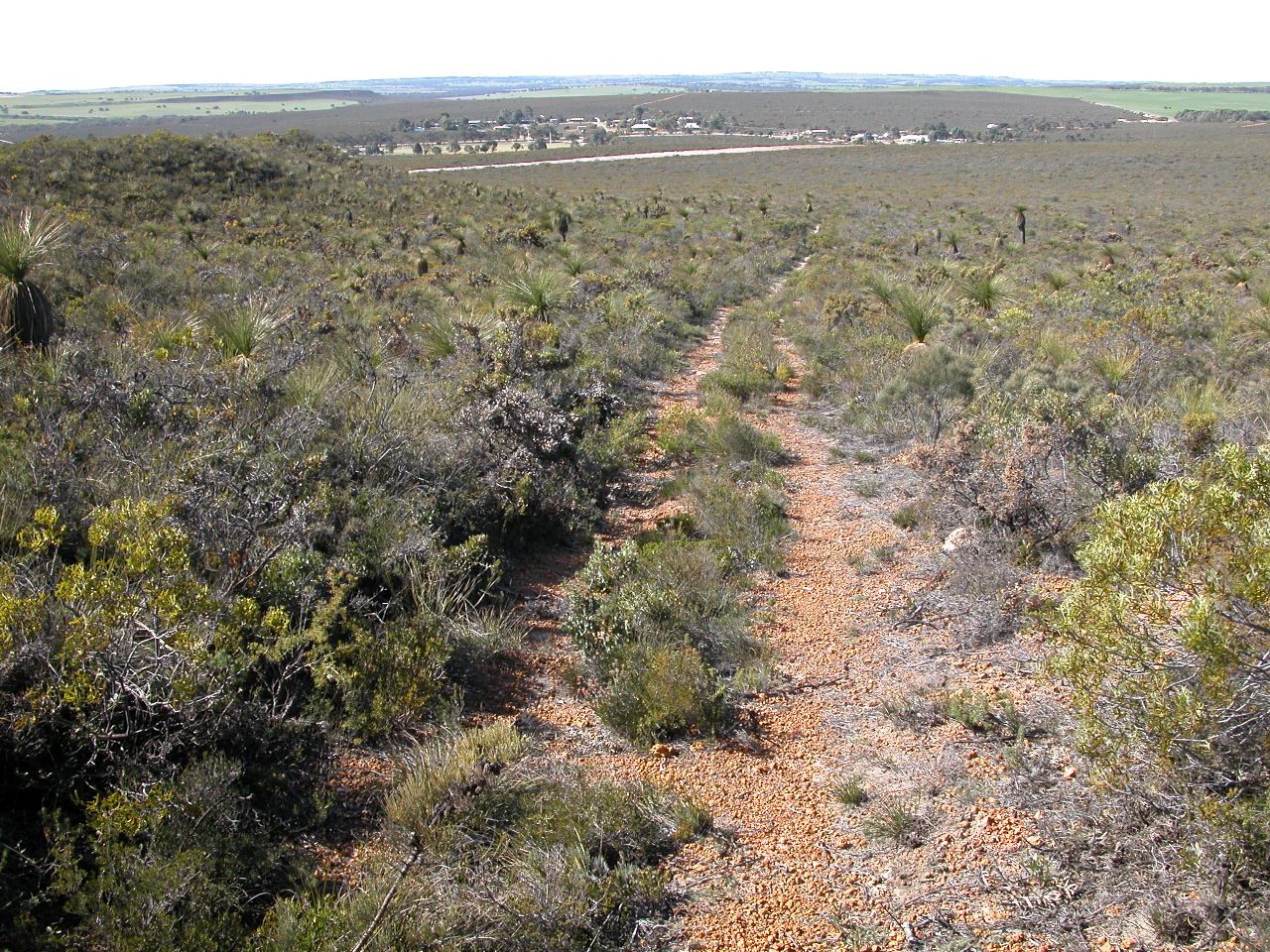
Currawinya is a national park near Hungerford in South West Queensland, Australia, 828 km west of Brisbane. Part of the mulga lands bioregion this is an area of dry sandy plain with small trees and shrubs. The Paroo River passes through the park.
Description from the park's Wikipedia article (CC BY-SA), linked in the sources below.
Airports near this park
The airports a visitor would actually fly into, nearest first — each link opens its profile on our sister site AirportProfiles.
- Thargomindah Airport (XTG) · Thargomindah, Australia · 68.4 miles away
- Cunnamulla Airport (CMA) · Australia · 86.9 miles away
- Bourke Airport (BRK) · Australia · 124.1 miles away
Parks nearby
Lake Bindegolly National Park
Toorale State Conservation Area
Toorale National Park
Narriearra Caryapundy Swamp National Park
Gundabooka National Park
Culgoa Floodplain National Park
More parks in Australia
Frequently asked questions
Where is Currawinya National Park?
Currawinya National Park is in Australia (28.7837° S, 144.4780° E).
When was Currawinya National Park established?
Currawinya National Park was established in 1991, per the source listed at the foot of this page.
How big is Currawinya National Park?
Currawinya National Park covers 849,780 acres (343,894 ha).
Sources
- https://www.wikidata.org/wiki/Q1144838 — Wikidata (CC0) — name, country, coordinates, area, established year, highest point where stated.
- https://en.wikipedia.org/wiki/Currawinya_National_Park — Wikipedia article — description (CC BY-SA).