
State Park · South Carolina, United States
Devils Fork State Park
Devils Fork State Park is a state park in South Carolina, United States, established in 1990.
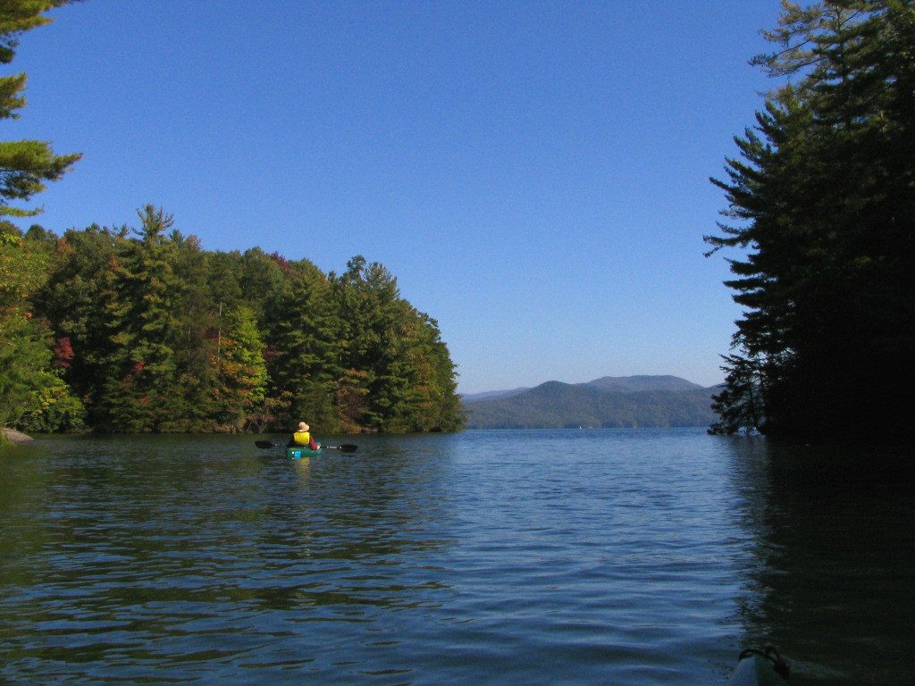
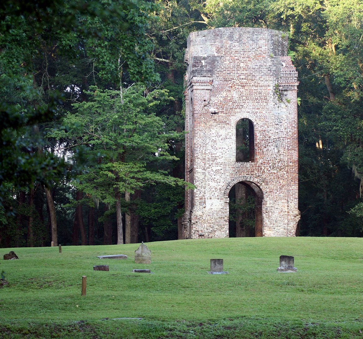
Photo: Mwanner at English Wikipedia via Wikimedia Commons, CC BY-SA 3.0. Cropped and resized for display.
Park facts
| Park type | State Park |
|---|---|
| Location | Oconee, South Carolina, United States |
| Established | 1990 |
| Coordinates | 34.9529° N, 82.9476° W |
| Managed by | South Carolina state park system |
Every fact above is taken from the sources listed below; anything no source states is left blank rather than guessed.
About Devils Fork State Park
Devils Fork State Park is in northwestern South Carolina on the eastern edge of the Sumter National Forest at the edge of 7,500-acre (3,035 ha) Lake Jocassee. It is located three miles (5 km) off SC 11, the Cherokee Scenic Highway, near the town of Salem, South Carolina. The park offers hiking, camping (including several paddle-in primitive sites), canoeing and kayaking. The park is well known for rainbow and brown trout, as well as largemouth, smallmouth, and white bass, crappie, bream and catfish.
Description from the park's Wikipedia article (CC BY-SA), linked in the sources below.
Planning your visit
What to do
Getting there
| Nearest town | Salem, South Carolina |
|---|---|
| Getting there | near the town of Salem |
Airports near this park
The airports a visitor would actually fly into, nearest first — each link opens its profile on our sister site AirportProfiles.
- McGhee Tyson Airport (TYS) · Knoxville/Maryville, United States · 83.6 miles away
- Charlotte Douglas International Airport (CLT) · Charlotte, United States · 114.8 miles away
- Hartsfield Jackson Atlanta International Airport (ATL) · Atlanta, United States · 124.1 miles away
Parks nearby
More parks in South Carolina

Frequently asked questions
Where is Devils Fork State Park?
Devils Fork State Park is in South Carolina, United States (34.9529° N, 82.9476° W).
When was Devils Fork State Park established?
Devils Fork State Park was established in 1990, per the source listed at the foot of this page.
How do I get to Devils Fork State Park?
The nearest town is Salem, South Carolina. near the town of Salem.
Sources
- https://en.wikipedia.org/wiki/List_of_South_Carolina_state_parks — Wikipedia list of South Carolina state parks — park name, county/location, size, year where the table states them.
- https://en.wikipedia.org/wiki/Devils_Fork_State_Park — Wikipedia article — description (CC BY-SA).