
State Park · Washington, United States
Dosewallips State Park
Dosewallips State Park is a state park in Washington, United States.
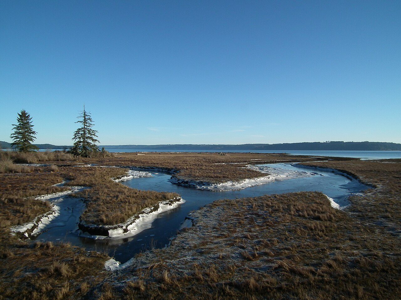
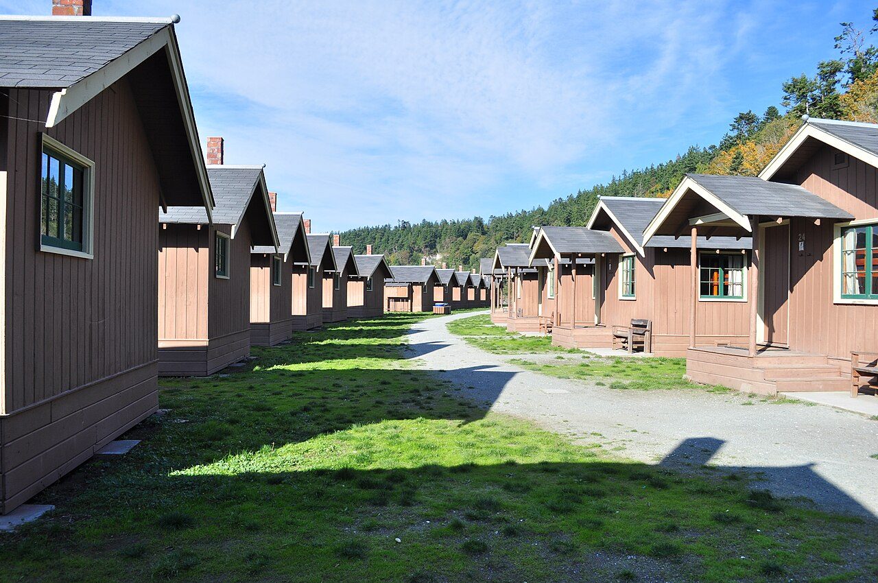
Photo: BlueCanoe via Wikimedia Commons, CC BY-SA 3.0. Cropped and resized for display.
Park facts
| Park type | State Park |
|---|---|
| Location | Jefferson, Washington, United States |
| Coordinates | 47.6887° N, 122.9070° W |
| Managed by | Washington state park system |
Every fact above is taken from the sources listed below; anything no source states is left blank rather than guessed.
About Dosewallips State Park
Dosewallips State Park is a public recreation area located where the Dosewallips River empties into Hood Canal in Jefferson County, Washington. The state park's 1,064 acres (431 ha) include both freshwater and saltwater shorelines. The park offers opportunities for picnicking, camping, hiking, boating, fishing, swimming, scuba diving, and shellfish harvesting.
Description from the park's Wikipedia article (CC BY-SA), linked in the sources below.
Planning your visit
What to do
Airports near this park
The airports a visitor would actually fly into, nearest first — each link opens its profile on our sister site AirportProfiles.
- Seattle–Tacoma International Airport (SEA) · Seattle, United States · 32.4 miles away
- Victoria International Airport (YYJ) · Victoria, Canada · 70.4 miles away
- Vancouver International Airport (YVR) · Vancouver, Canada · 104.8 miles away
Parks nearby
More parks in Washington

Frequently asked questions
Where is Dosewallips State Park?
Dosewallips State Park is in Washington, United States (47.6887° N, 122.9070° W).
Sources
- https://en.wikipedia.org/wiki/List_of_Washington_state_parks — Wikipedia list of Washington state parks — park name, county/location, size, year where the table states them.
- https://en.wikipedia.org/wiki/Dosewallips_State_Park — Wikipedia article — description (CC BY-SA).