
National Park · El Salvador
El Imposible National Park
El Imposible National Park is a national park in El Salvador, covering 9,439 acres (3,820 ha), established in 1989.
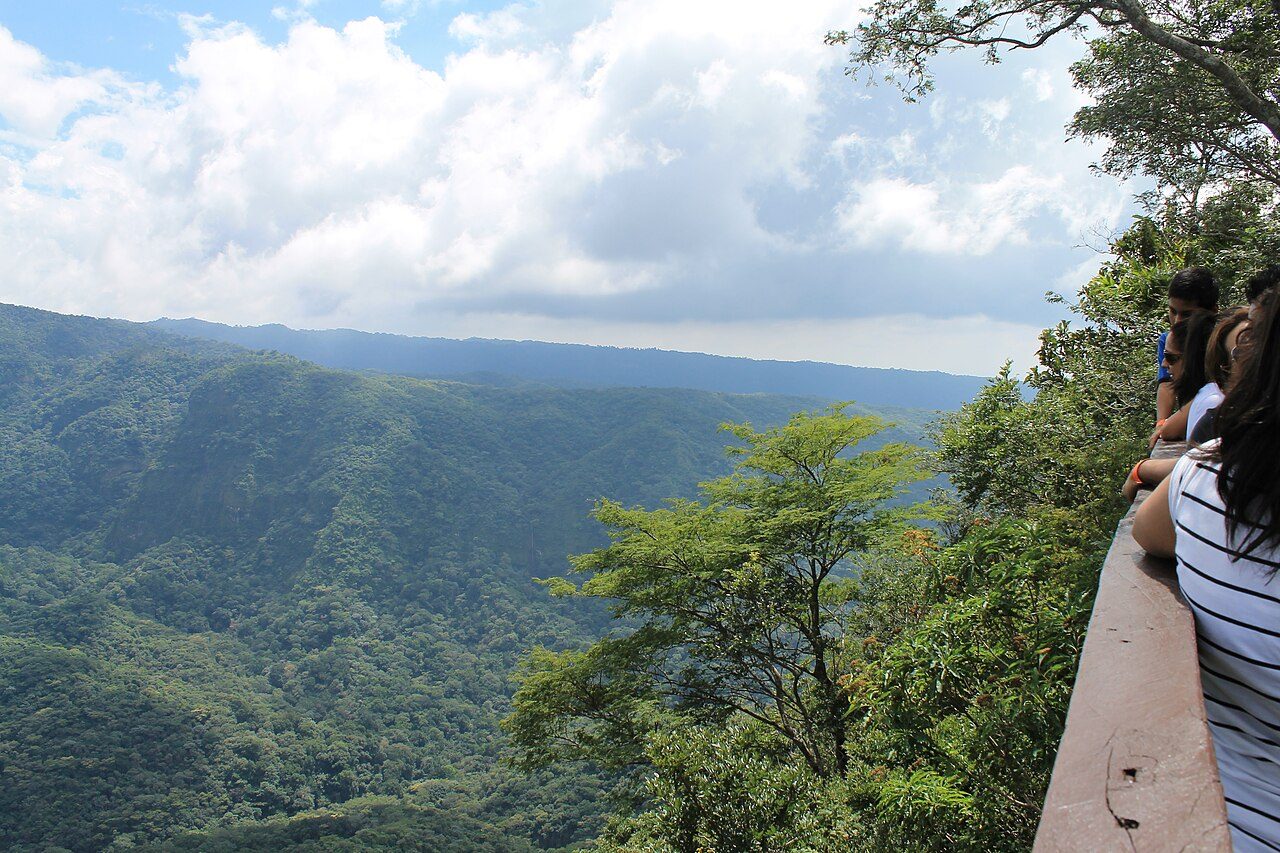
Photo: ElmerGuevara via Wikimedia Commons, CC BY-SA 3.0. Cropped and resized for display.
Park facts
| Park type | National Park |
|---|---|
| Location | El Salvador |
| Area | 9,439 acres (3,820 ha) |
| Established | 1989 |
| Coordinates | 13.8417° N, 89.9575° W |
Every fact above is taken from the sources listed below; anything no source states is left blank rather than guessed.
About El Imposible National Park
El Imposible National Park (Spanish: Parque Nacional El Imposible) is a tropical forest and protected area in western El Salvador. Established on January 1, 1989, it covers 38.20 km² within the Apaneca llamatepec mountain range, with elevations ranging from 250 to 1,425 m (820 to 4,675 ft) above sea level. Its name, meaning "The Impossible National Park", refers to a perilous gorge that has historically claimed the lives of farmers and pack mules transporting coffee to the Pacific coast. The park encompasses eight rivers that contribute to the watershed of Barra de Santiago and the coastal mangrove forests.
Description from the park's Wikipedia article (CC BY-SA), linked in the sources below.
Airports near this park
The airports a visitor would actually fly into, nearest first — each link opens its profile on our sister site AirportProfiles.
- La Aurora International Airport (GUA) · Guatemala City, Guatemala · 63.9 miles away
- El Salvador International Airport Saint Óscar Arnulfo Romero y Galdámez (SAL) · San Salvador (San Luis Talpa), El Salvador · 66.5 miles away
Parks nearby
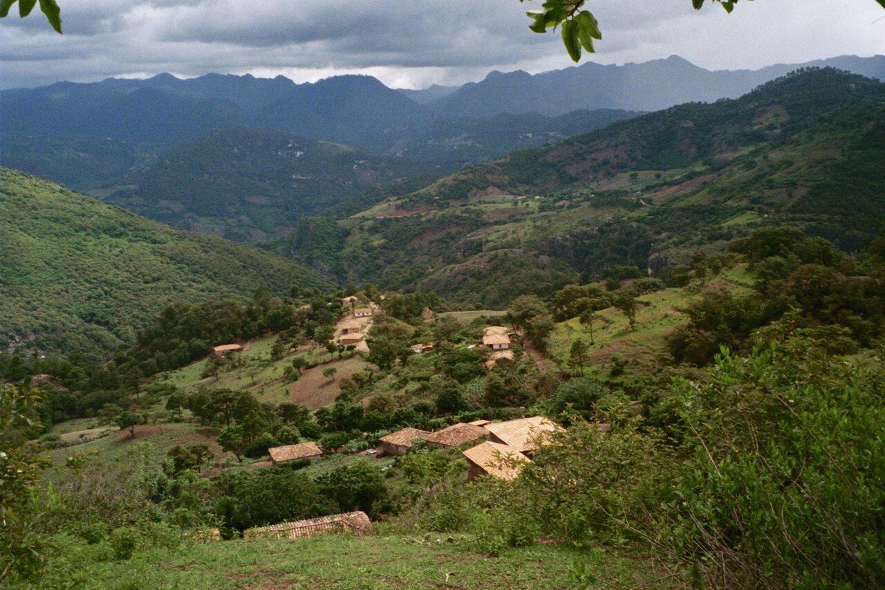

More parks in El Salvador
Frequently asked questions
Where is El Imposible National Park?
El Imposible National Park is in El Salvador (13.8417° N, 89.9575° W).
When was El Imposible National Park established?
El Imposible National Park was established in 1989, per the source listed at the foot of this page.
How big is El Imposible National Park?
El Imposible National Park covers 9,439 acres (3,820 ha).
Sources
- https://www.wikidata.org/wiki/Q5351426 — Wikidata (CC0) — name, country, coordinates, area, established year, highest point where stated.
- https://en.wikipedia.org/wiki/El_Imposible_National_Park — Wikipedia article — description (CC BY-SA).