
State Park · Washington, United States
Fields Spring State Park
Fields Spring State Park is a state park in Washington, United States, established in 1930.
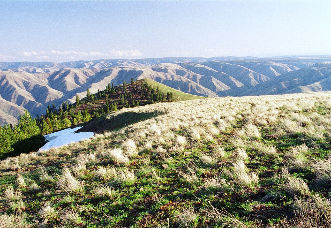
Photo: Dsdugan via Wikimedia Commons, Public domain. Cropped and resized for display.
Park facts
| Park type | State Park |
|---|---|
| Location | Asotin, Washington, United States |
| Established | 1930 |
| Coordinates | 46.0772° N, 117.1719° W |
| Managed by | Washington state park system |
Every fact above is taken from the sources listed below; anything no source states is left blank rather than guessed.
About Fields Spring State Park
Fields Spring State Park is a 828-acre (3.35 km2) public recreation area in the northwest United States, located in southeastern Washington on State Route 129, four miles (6 km), south of Anatone. Near the tripoint with Idaho and Oregon, the state park offers various routes to the top of Puffer Butte and its scenic views of the Wallowa Mountains and the Grande Ronde River and Snake River basins. The park was initially developed by members of the local chapter of the Isaac Walton League and workers with the Works Progress Administration.
Description from the park's Wikipedia article (CC BY-SA), linked in the sources below.
Airports near this park
The airports a visitor would actually fly into, nearest first — each link opens its profile on our sister site AirportProfiles.
- Spokane International Airport (GEG) · Spokane, United States · 108.0 miles away
Parks nearby
More parks in Washington

Frequently asked questions
Where is Fields Spring State Park?
Fields Spring State Park is in Washington, United States (46.0772° N, 117.1719° W).
When was Fields Spring State Park established?
Fields Spring State Park was established in 1930, per the source listed at the foot of this page.
Sources
- https://en.wikipedia.org/wiki/List_of_Washington_state_parks — Wikipedia list of Washington state parks — park name, county/location, size, year where the table states them.
- https://en.wikipedia.org/wiki/Fields_Spring_State_Park — Wikipedia article — description (CC BY-SA).