
State Park · Michigan, United States
Fisherman's Island State Park
Fisherman's Island State Park is a state park in Michigan, United States, covering 2,678 acres (1,084 ha).
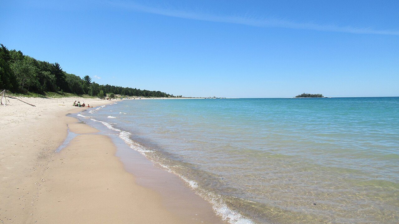
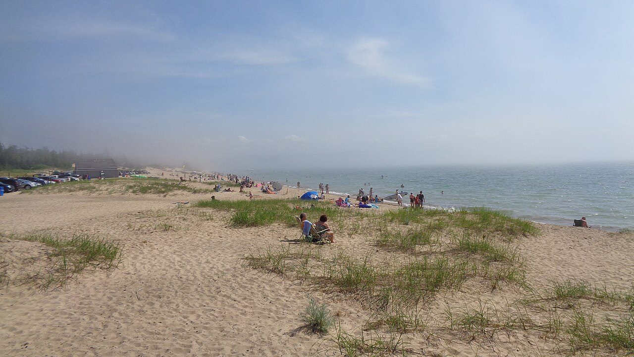
Photo: Notorious4life ( talk ) ( Uploads ) via Wikimedia Commons, CC0. Cropped and resized for display.
Park facts
| Park type | State Park |
|---|---|
| Location | Charlevoix, Michigan, United States |
| Area | 2,678 acres (1,084 ha) |
| Coordinates | 45.2700° N, 85.3569° W |
| Managed by | Michigan state park system |
Every fact above is taken from the sources listed below; anything no source states is left blank rather than guessed.
About Fisherman's Island State Park
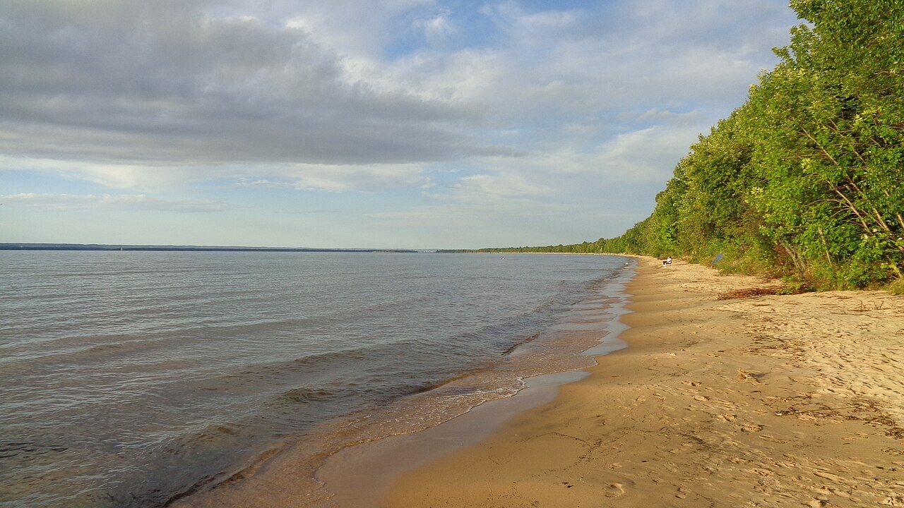
Fisherman's Island State Park is a public recreation area of 2,678 acres (1,084 ha) sitting on six miles (9.7 km) of Lake Michigan shoreline southwest of Charlevoix, Michigan. It is named for a small piece of land, Fisherman Island, located some 900 feet (270 m) from the mainland. For most of the period from 1998 to 2016, historically low lake levels resulted in the island becoming attached to the mainland via a tombolo. The park's interior terrain consists largely of rolling dunes covered with maple, birch and aspen broken up by bogs of cedar and black spruce. The park is operated by the Michigan Department of Natural Resources.
Description from the park's Wikipedia article (CC BY-SA), linked in the sources below.
Airports near this park
The airports a visitor would actually fly into, nearest first — each link opens its profile on our sister site AirportProfiles.
- Pellston Regional Airport of Emmet County Airport (PLN) · Pellston, United States · 34.2 miles away
- Cherry Capital Airport (TVC) · Traverse City, United States · 38.1 miles away
- Chippewa County International Airport (CIU) · Kincheloe, United States · 79.8 miles away
Parks nearby
More parks in Michigan

Frequently asked questions
Where is Fisherman's Island State Park?
Fisherman's Island State Park is in Michigan, United States (45.2700° N, 85.3569° W).
How big is Fisherman's Island State Park?
Fisherman's Island State Park covers 2,678 acres (1,084 ha).
Sources
- https://en.wikipedia.org/wiki/List_of_Michigan_state_parks — Wikipedia list of Michigan state parks — park name, county/location, size, year where the table states them.
- https://en.wikipedia.org/wiki/Fisherman's_Island_State_Park — Wikipedia article — description (CC BY-SA).