
National Park · Sri Lanka
Flood Plains National Park
Flood Plains National Park is a national park in Sri Lanka, established in 1984.
National Park · Sri Lanka
No freely licensed photograph of this park is in our library yet — rather than borrow a picture of somewhere else, this profile leads with its verified facts.
Park facts
| Park type | National Park |
|---|---|
| Location | Sri Lanka |
| Established | 1984 |
| Coordinates | 7.9181° N, 81.0867° E |
Every fact above is taken from the sources listed below; anything no source states is left blank rather than guessed.
About Flood Plains National Park
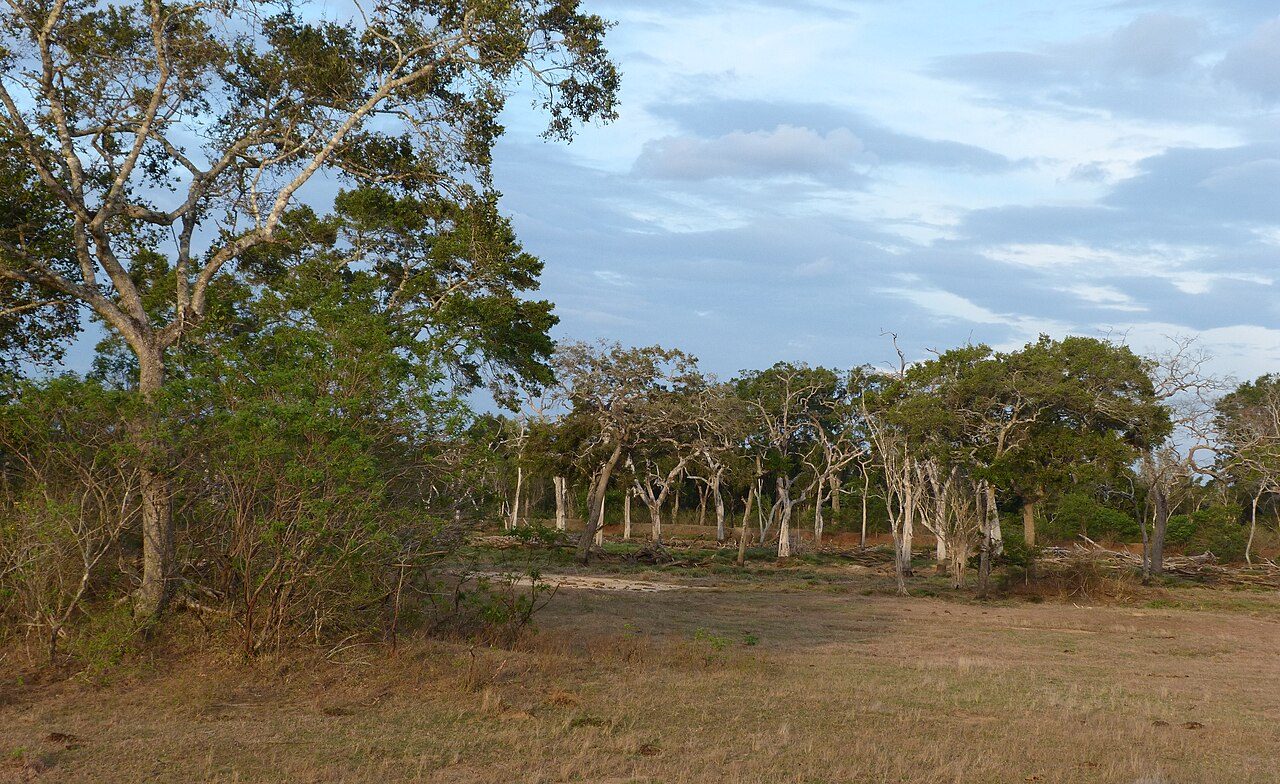
Flood Plains National Park (Sinhala: ජලගැලුම් නිම්න ජාතික වනෝද්යානය, romanized: Jalagælum Nimna Jātika Vanōdyānaya; Tamil: வெள்ளச் சமவெளிகள் தேசிய வனம், romanized: Veḷḷac Camaveḷikaḷ Tēciya Vaṉam) is one of the four national parks set aside under the Mahaweli River development project in Sri Lanka. The park was created on 7 August 1984. The national park is situated along the Mahaweli flood plain and is considered a rich feeding ground for elephants. Flood Plains National Park is considered an elephant corridor for the elephants migrate between Wasgamuwa and Somawathiya national parks.
Description from the park's Wikipedia article (CC BY-SA), linked in the sources below.
Airports near this park
The airports a visitor would actually fly into, nearest first — each link opens its profile on our sister site AirportProfiles.
- Bandaranaike International Colombo Airport (CMB) · Colombo, Sri Lanka · 96.9 miles away
- Colombo Ratmalana International Airport (RML) · Colombo, Sri Lanka · 111.8 miles away
- Jaffna International Airport (JAF) · Jaffna, Sri Lanka · 146.9 miles away
Parks nearby
More parks in Sri Lanka
Frequently asked questions
Where is Flood Plains National Park?
Flood Plains National Park is in Sri Lanka (7.9181° N, 81.0867° E).
When was Flood Plains National Park established?
Flood Plains National Park was established in 1984, per the source listed at the foot of this page.
Sources
- https://www.wikidata.org/wiki/Q5460051 — Wikidata (CC0) — name, country, coordinates, area, established year, highest point where stated.
- https://en.wikipedia.org/wiki/Flood_Plains_National_Park — Wikipedia article — description (CC BY-SA).