
State Park · Kentucky, United States
Fort Boonesborough State Park
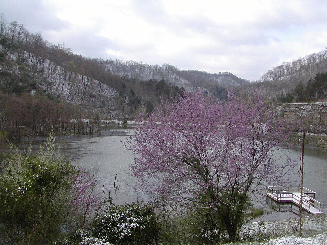
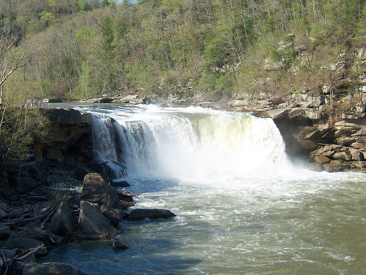
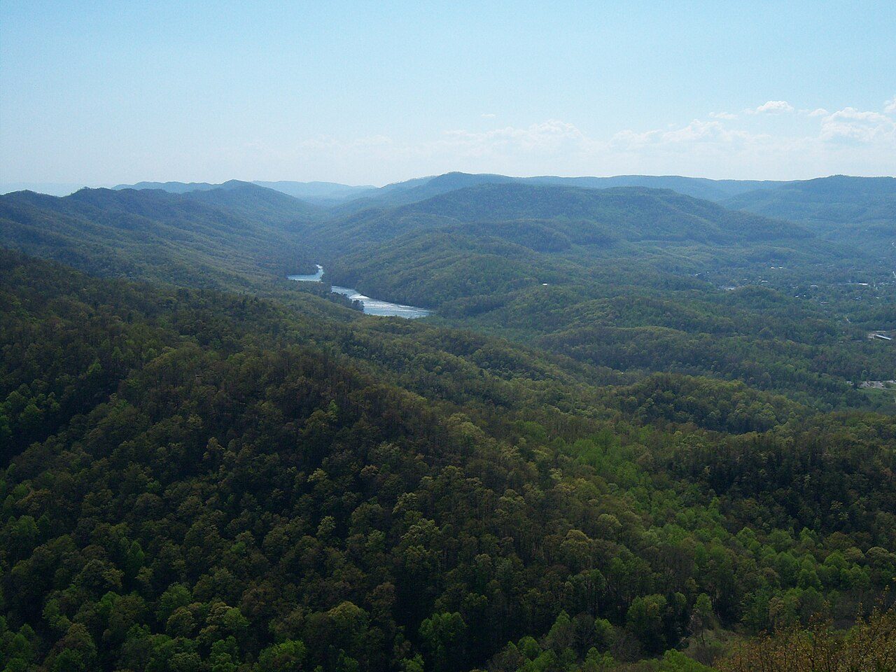
Fort Boonesborough State Park is a state park in Kentucky, United States, covering 153 acres (62 ha).
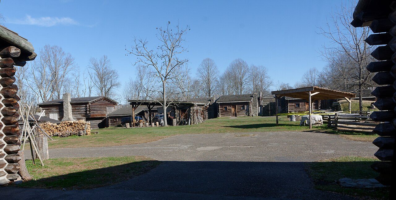
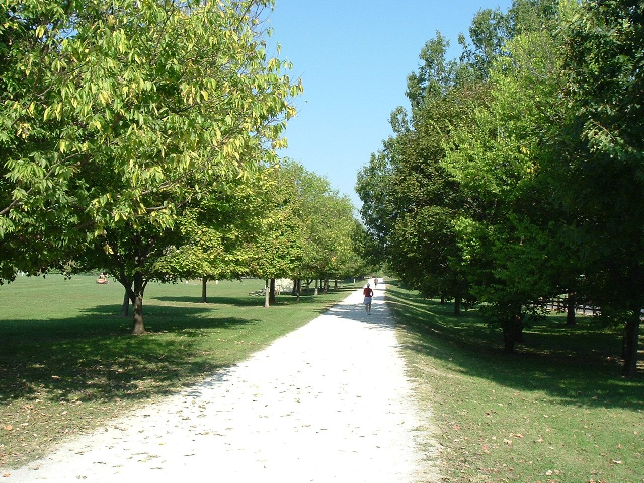
Photo: Bubba73 via Wikimedia Commons, CC BY-SA 3.0. Cropped and resized for display.
Park facts
| Park type | State Park |
|---|---|
| Location | Richmond, Kentucky, United States |
| Area | 153 acres (62 ha) |
| Coordinates | 37.9006° N, 84.2683° W |
| Managed by | Kentucky state park system |
Every fact above is taken from the sources listed below; anything no source states is left blank rather than guessed.
About Fort Boonesborough State Park
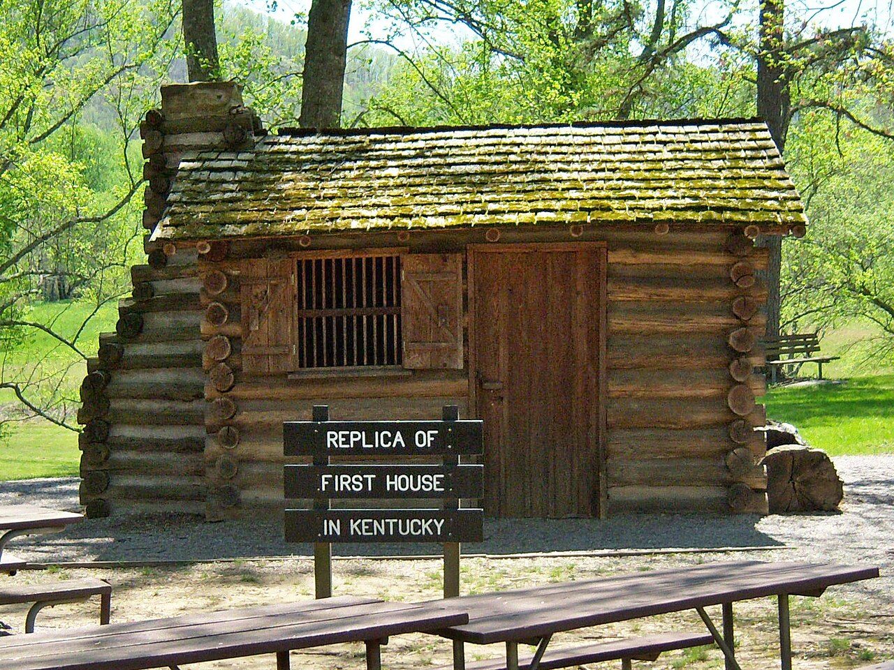
Fort Boonesborough was a frontier fort in Kentucky, founded by Daniel Boone and his men following their crossing of the Kentucky River on April 1, 1775. The settlement they founded, known as Boonesborough, Kentucky, is Kentucky's second oldest European-American settlement. It served as a major frontier outpost during the American Revolutionary War, and survived into the early 19th century before its eventual abandonment. A National Historic Landmark now administered as part of Fort Boonesborough State Park, the site is one of the best-preserved archaeological sites of early westward expansion by British colonists in that period.
Description from the park's Wikipedia article (CC BY-SA), linked in the sources below.
Airports near this park
The airports a visitor would actually fly into, nearest first — each link opens its profile on our sister site AirportProfiles.
- Louisville Muhammad Ali International Airport (SDF) · Louisville, United States · 82.0 miles away
- Cincinnati Northern Kentucky International Airport (CVG) · Cincinnati / Covington, United States · 82.2 miles away
- McGhee Tyson Airport (TYS) · Knoxville/Maryville, United States · 145.2 miles away
Parks nearby

Waveland State Historic Site
Camp Nelson Heritage National Monument
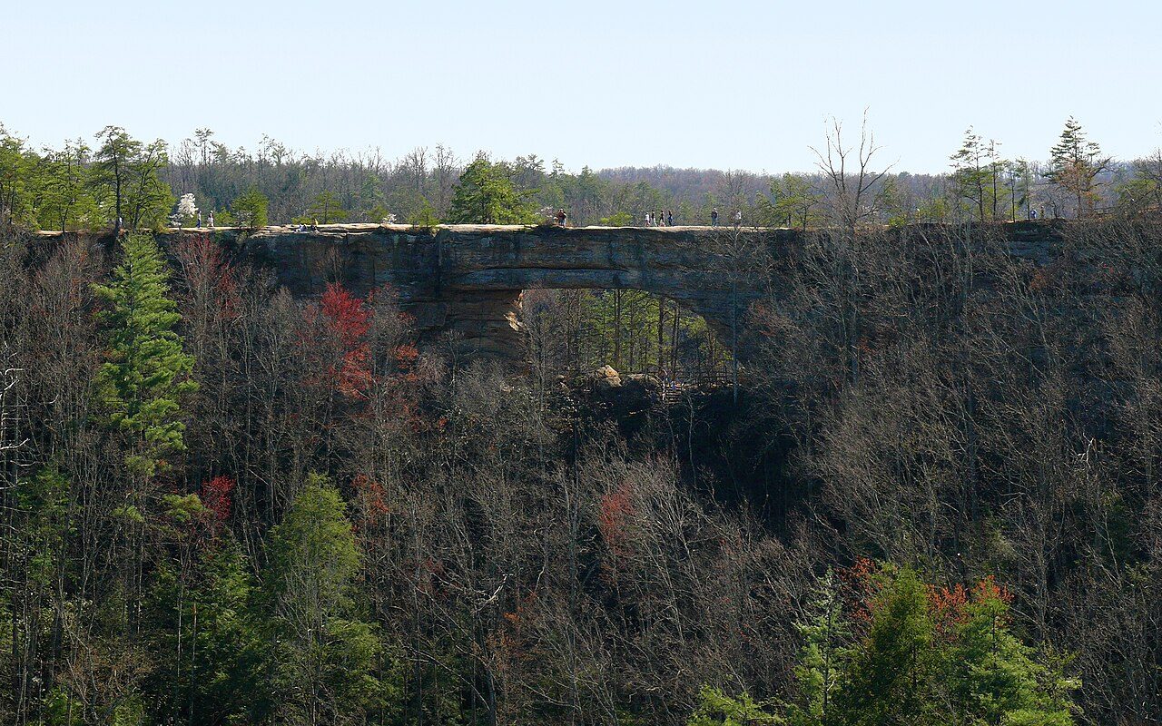
Natural Bridge State Resort Park
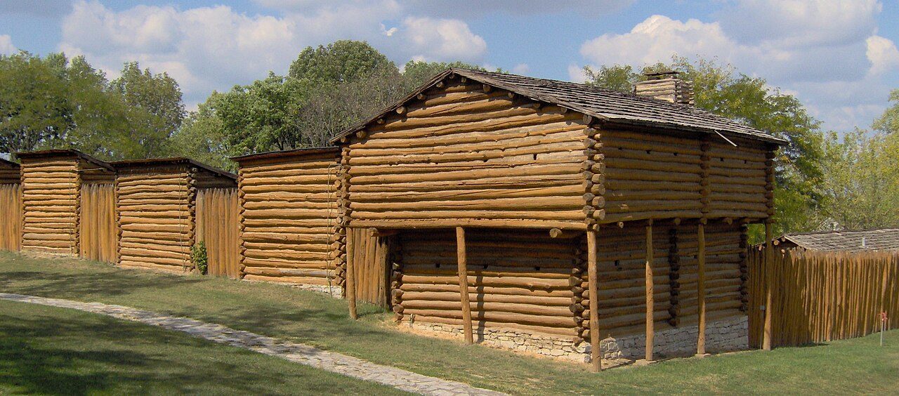
Old Fort Harrod State Park
Isaac Shelby Cemetery State Historic Site
Perryville Battlefield State Historic Site
More parks in Kentucky


Frequently asked questions
Where is Fort Boonesborough State Park?
Fort Boonesborough State Park is in Kentucky, United States (37.9006° N, 84.2683° W).
How big is Fort Boonesborough State Park?
Fort Boonesborough State Park covers 153 acres (62 ha).
Sources
- https://en.wikipedia.org/wiki/List_of_Kentucky_state_parks — Wikipedia list of Kentucky state parks — park name, county/location, size, year where the table states them.
- https://en.wikipedia.org/wiki/Fort_Boonesborough_State_Park — Wikipedia article — description (CC BY-SA).