
State Park · United States
Fort Buenaventura
Fort Buenaventura is a state park in United States.
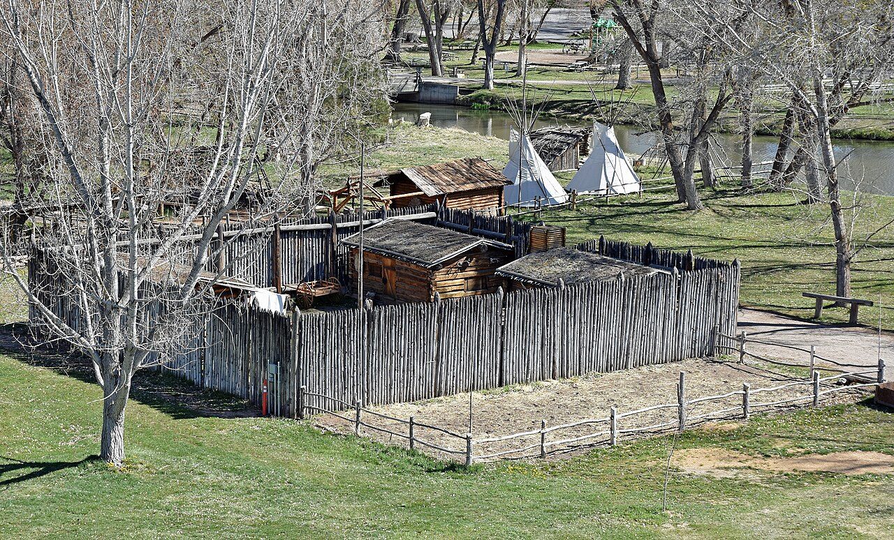
Photo: Beneathtimp via Wikimedia Commons, CC0. Cropped and resized for display.
Park facts
| Park type | State Park |
|---|---|
| Location | United States |
| Coordinates | 41.2148° N, 111.9899° W |
Every fact above is taken from the sources listed below; anything no source states is left blank rather than guessed.
About Fort Buenaventura
Fort Buenaventura, located in west Ogden, Utah, United States, was the first permanent Anglo settlement in the Great Basin. Built just east of the Weber River in 1846 by Miles Goodyear, the fort and its surrounding lands were purchased by Mormon settlers in 1847 and renamed Brownsville (then later Ogden). Following flooding along the river in 1850, the fort was abandoned. In 1980, Fort Buenaventura State Park was opened, which included a replica of the fort at its original location. In 2002, ownership of the park was transferred to Weber County, which now operates the fort and surrounding recreational facilities.
Description from the park's Wikipedia article (CC BY-SA), linked in the sources below.
Planning your visit
Getting there
| Nearest town | Weber River, United States |
|---|---|
| Getting there | just east of Weber River |
Airports near this park
The airports a visitor would actually fly into, nearest first — each link opens its profile on our sister site AirportProfiles.
- Salt Lake City International Airport (SLC) · Salt Lake City, United States · 29.4 miles away
Parks nearby
More parks in United States

Frequently asked questions
Where is Fort Buenaventura?
Fort Buenaventura is in United States (41.2148° N, 111.9899° W).
How do I get to Fort Buenaventura?
The nearest town is Weber River, United States. just east of Weber River.
Sources
- https://www.wikidata.org/wiki/Q5470863 — Wikidata (CC0) — name, country, coordinates, area, established year, highest point where stated.
- https://en.wikipedia.org/wiki/Fort_Buenaventura — Wikipedia article — description (CC BY-SA).