
State Park · Delaware, United States
Fort DuPont
Fort DuPont is a state park in Delaware, United States, covering 296 acres (120 ha), established in 1863.
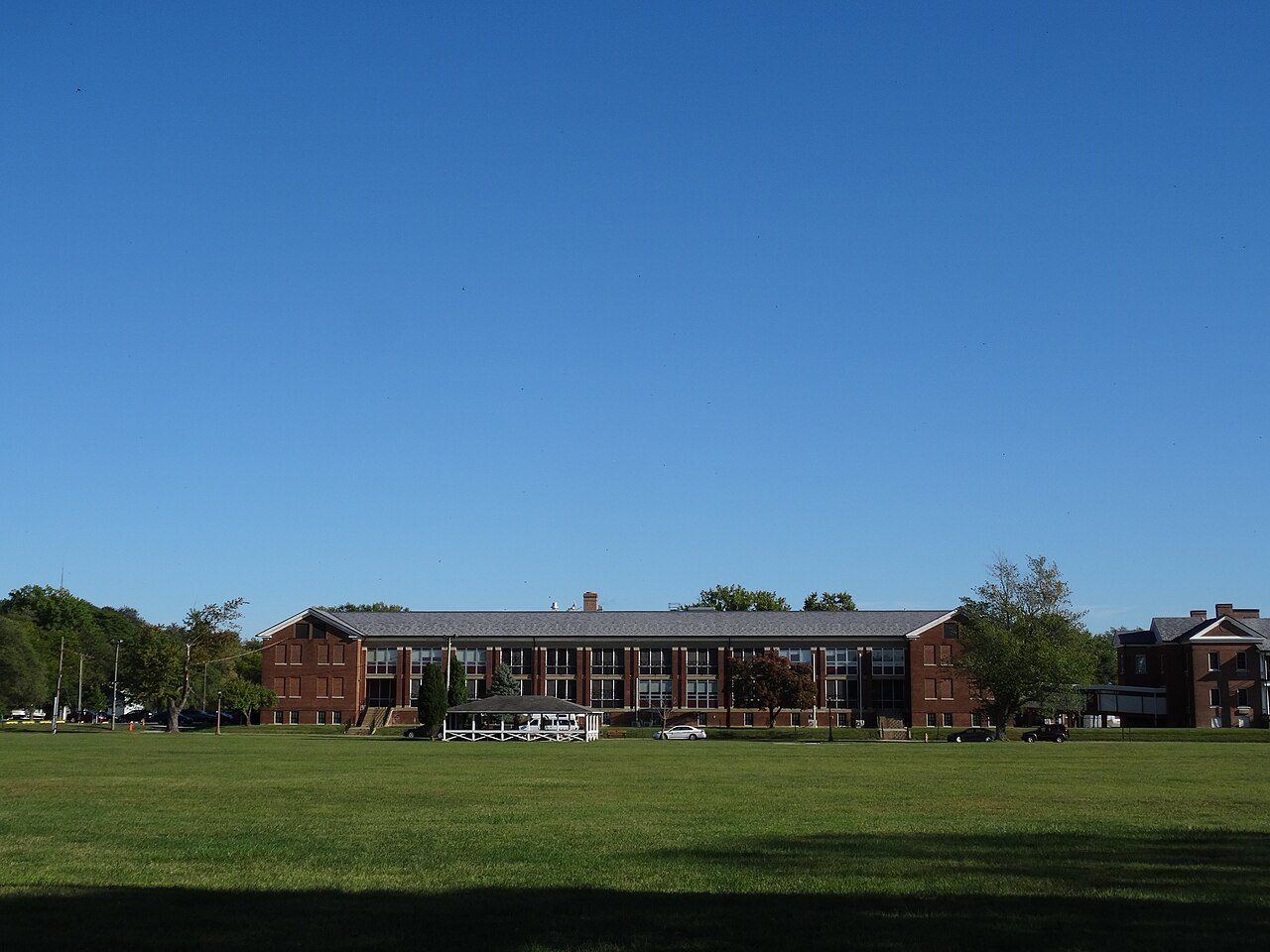
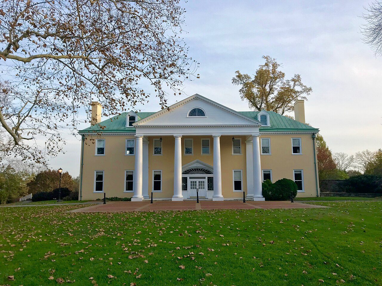
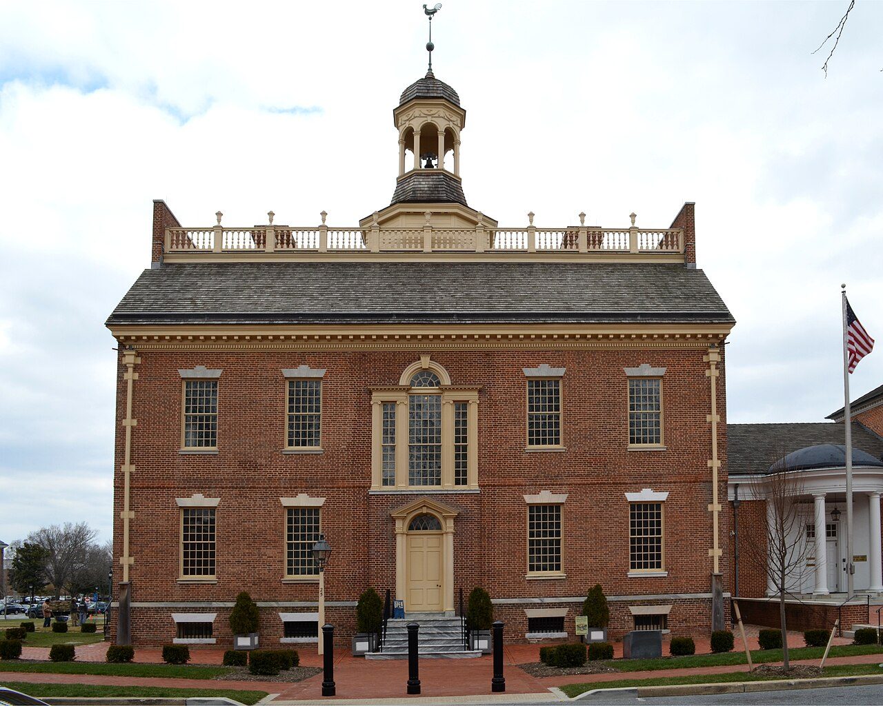
Photo: Ethelred unraed via Wikimedia Commons, CC BY-SA 4.0. Cropped and resized for display.
Park facts
| Park type | State Park |
|---|---|
| Location | New Castle, Delaware, United States |
| Area | 296 acres (120 ha) |
| Established | 1863 |
| Coordinates | 39.5714° N, 75.5836° W |
| Managed by | Delaware state park system |
Every fact above is taken from the sources listed below; anything no source states is left blank rather than guessed.
About Fort DuPont
Fort DuPont, named in honor of Rear Admiral Samuel Francis Du Pont, is located between the original Delaware City and the modern Chesapeake and Delaware Canal on the original Reeden Point tract, which was granted to Henry Ward in 1675. Along with two other forts of the Harbor Defenses of the Delaware, it defended the Delaware River and the water approach to Philadelphia from 1900 through 1942. In 1992 a portion was redesignated as Fort DuPont State Park, which became Delaware's 13th state park. In 2016, the acreage which is not in the state park system was annexed into Delaware City.
Description from the park's Wikipedia article (CC BY-SA), linked in the sources below.
Airports near this park
The airports a visitor would actually fly into, nearest first — each link opens its profile on our sister site AirportProfiles.
- Philadelphia International Airport (PHL) · Philadelphia, United States · 27.6 miles away
- Baltimore/Washington International Thurgood Marshall Airport (BWI) · Baltimore, United States · 64.1 miles away
- Ronald Reagan Washington National Airport (DCA) · Washington, United States · 92.4 miles away
Parks nearby
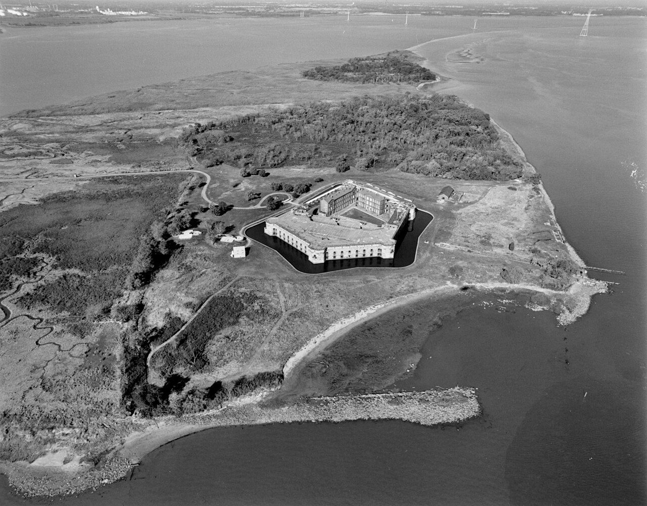
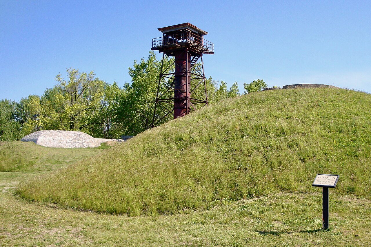
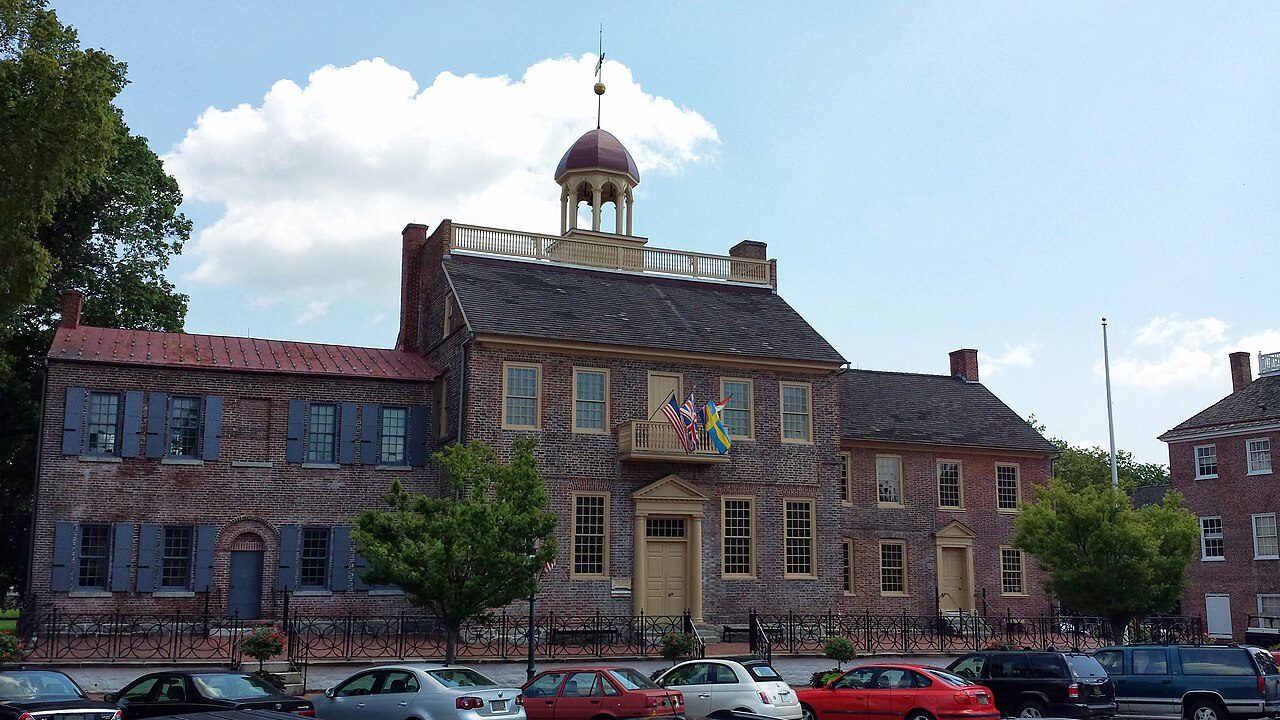
More parks in Delaware

Frequently asked questions
Where is Fort DuPont?
Fort DuPont is in Delaware, United States (39.5714° N, 75.5836° W).
When was Fort DuPont established?
Fort DuPont was established in 1863, per the source listed at the foot of this page.
How big is Fort DuPont?
Fort DuPont covers 296 acres (120 ha).
Sources
- https://en.wikipedia.org/wiki/List_of_Delaware_state_parks — Wikipedia list of Delaware state parks — park name, county/location, size, year where the table states them.
- https://en.wikipedia.org/wiki/Fort_DuPont — Wikipedia article — description (CC BY-SA).