
State Park · Minnesota, United States
Fort Ridgely State Park
Fort Ridgely State Park is a state park in Minnesota, United States, covering 537 acres (217 ha), established in 1911.
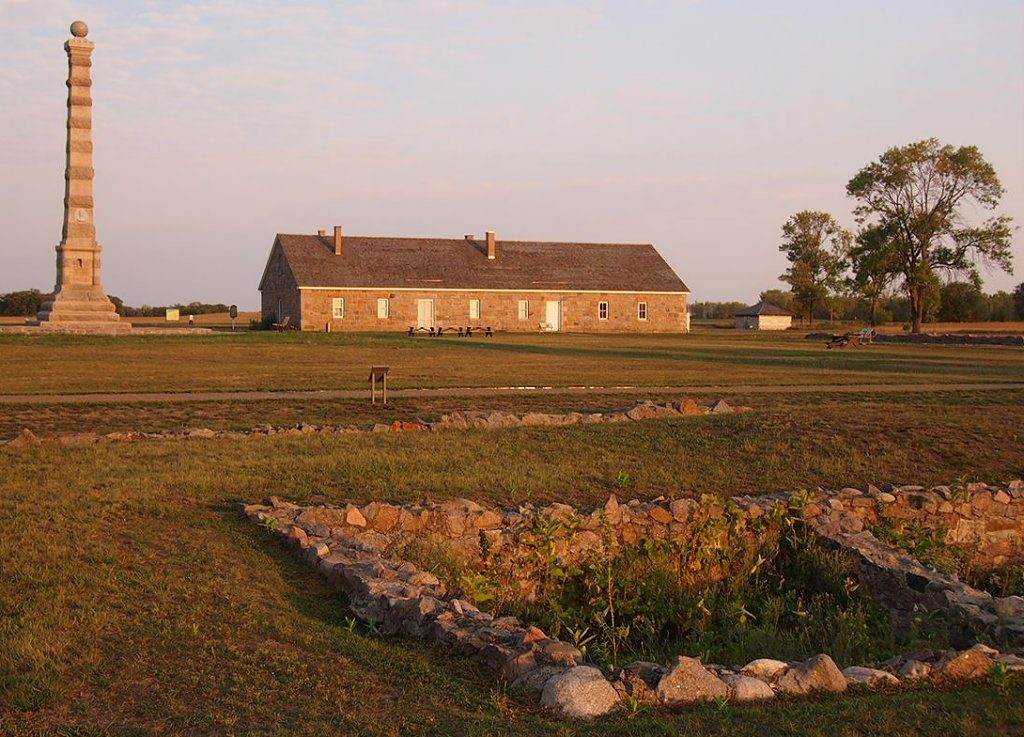
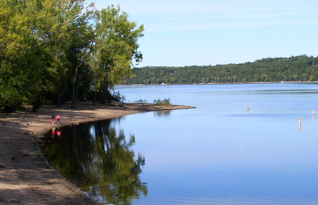
Photo: McGhiever via Wikimedia Commons, CC BY-SA 3.0. Cropped and resized for display.
Park facts
| Park type | State Park |
|---|---|
| Location | Nicollet and Renville, Minnesota, United States |
| Area | 537 acres (217 ha) |
| Established | 1911 |
| Coordinates | 44.4508° N, 94.7267° W |
| Managed by | Minnesota state park system |
Every fact above is taken from the sources listed below; anything no source states is left blank rather than guessed.
About Fort Ridgely State Park
Fort Ridgely State Park is a state park of Minnesota, USA, on the Minnesota River south of Fairfax. It preserves Fort Ridgely, site of the Battle of Fort Ridgely during the Dakota War of 1862. It was the only Minnesota state park with a 9-hole golf course, which overlooks the Minnesota River and goes along Fort Ridgely Creek. The park was established in 1911. The Civilian Conservation Corps Rustic Style buildings within the state park, built between 1934 and 1936, are listed on the National Register of Historic Places. In September 2016, the golf course was closed due to declining revenue.
Description from the park's Wikipedia article (CC BY-SA), linked in the sources below.
Airports near this park
The airports a visitor would actually fly into, nearest first — each link opens its profile on our sister site AirportProfiles.
- Minneapolis–Saint Paul International Airport / Wold–Chamberlain Field (MSP) · Minneapolis, United States · 79.7 miles away
Parks nearby
Birch Cooley Battle Field State Memorial Park [ 4 ] : 15
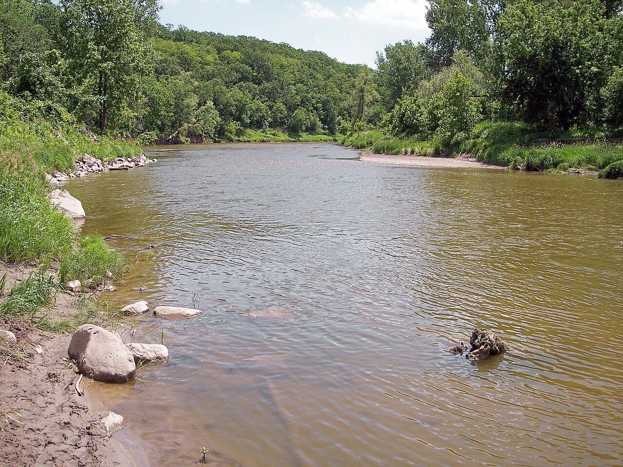
Flandrau State Park
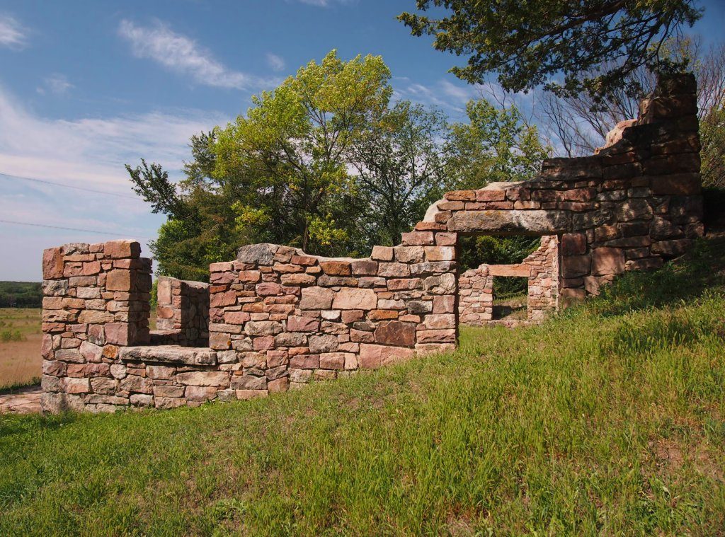
Joseph R. Brown State Wayside
Minneopa State Park
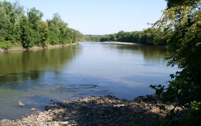
Traverse des Sioux State Park [ 4 ] : 29
Greenleaf Lake State Recreation Area
More parks in Minnesota

Frequently asked questions
Where is Fort Ridgely State Park?
Fort Ridgely State Park is in Minnesota, United States (44.4508° N, 94.7267° W).
When was Fort Ridgely State Park established?
Fort Ridgely State Park was established in 1911, per the source listed at the foot of this page.
How big is Fort Ridgely State Park?
Fort Ridgely State Park covers 537 acres (217 ha).
Sources
- https://en.wikipedia.org/wiki/List_of_Minnesota_state_parks — Wikipedia list of Minnesota state parks — park name, county/location, size, year where the table states them.
- https://en.wikipedia.org/wiki/Fort_Ridgely_State_Park — Wikipedia article — description (CC BY-SA).