
National Park · Australia
Garigal National Park
Garigal National Park is a national park in Australia, established in 1991.
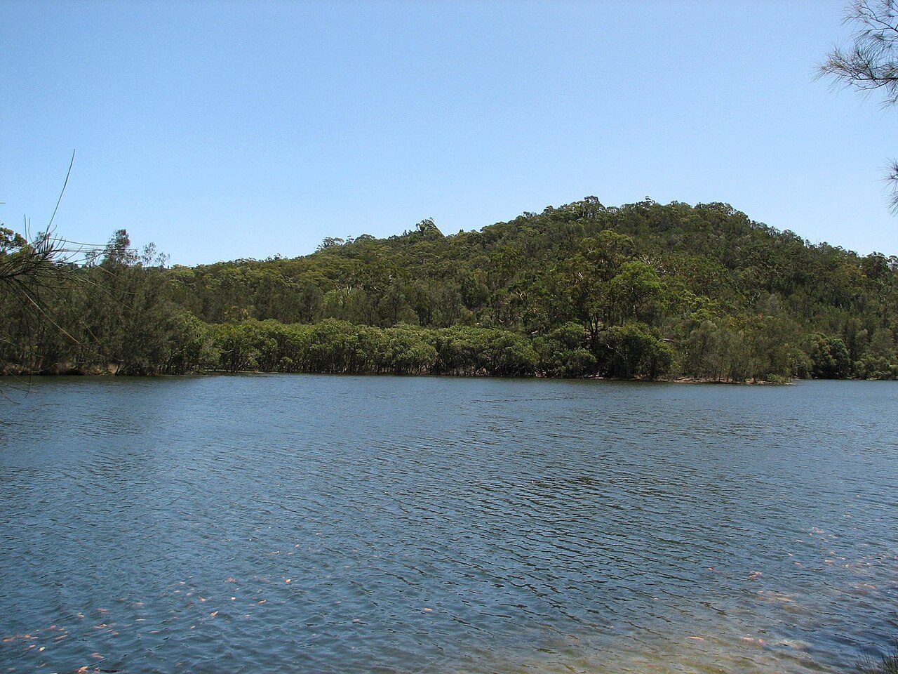
Photo: No machine-readable author provided. Eug assumed (based on copyright claims). via Wikimedia Commons, CC BY-SA 3.0. Cropped and resized for display.
Park facts
| Park type | National Park |
|---|---|
| Location | Australia |
| Established | 1991 |
| Coordinates | 33.7058° S, 151.2360° E |
Every fact above is taken from the sources listed below; anything no source states is left blank rather than guessed.
About Garigal National Park
The Garigal National Park is a protected national park that is located within the North Shore and Forest District regions of Sydney, New South Wales, in eastern Australia. The 2,202-hectare (5,440-acre) national park is situated approximately 20 kilometres (12 mi) north of the Sydney central business district. Split into three distinct sections, divided by natural geography, urban development and road infrastructure, the park comprises the valley of Middle Harbour Creek and its tributaries, the slopes along the northern side of Middle Harbour as far as Bantry Bay and part of the catchment of Narrabeen Lakes.
Description from the park's Wikipedia article (CC BY-SA), linked in the sources below.
Planning your visit
What to do
Airports near this park
The airports a visitor would actually fly into, nearest first — each link opens its profile on our sister site AirportProfiles.
- Sydney Kingsford Smith International Airport (SYD) · Sydney (Mascot), Australia · 16.9 miles away
- Western Sydney International (Nancy-Bird Walton) Airport (WSI) · Sydney, Australia · 32.4 miles away
- Newcastle Airport (NTL) · Williamtown, Australia · 71.8 miles away
Parks nearby
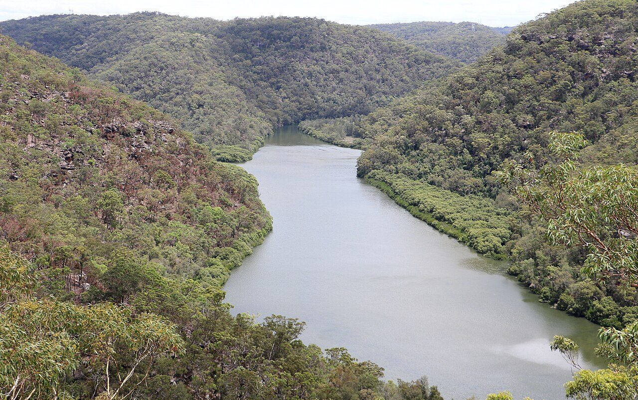
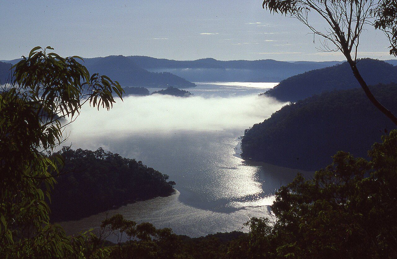
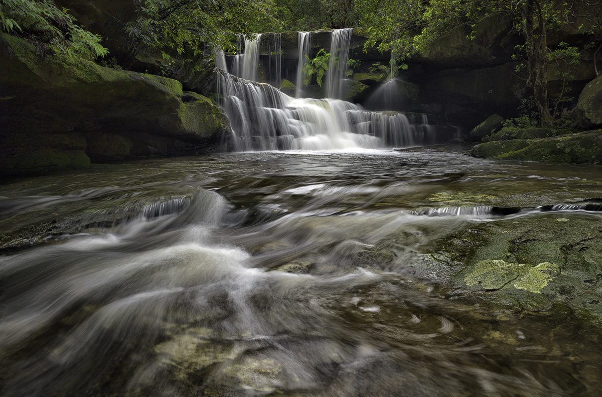
More parks in Australia
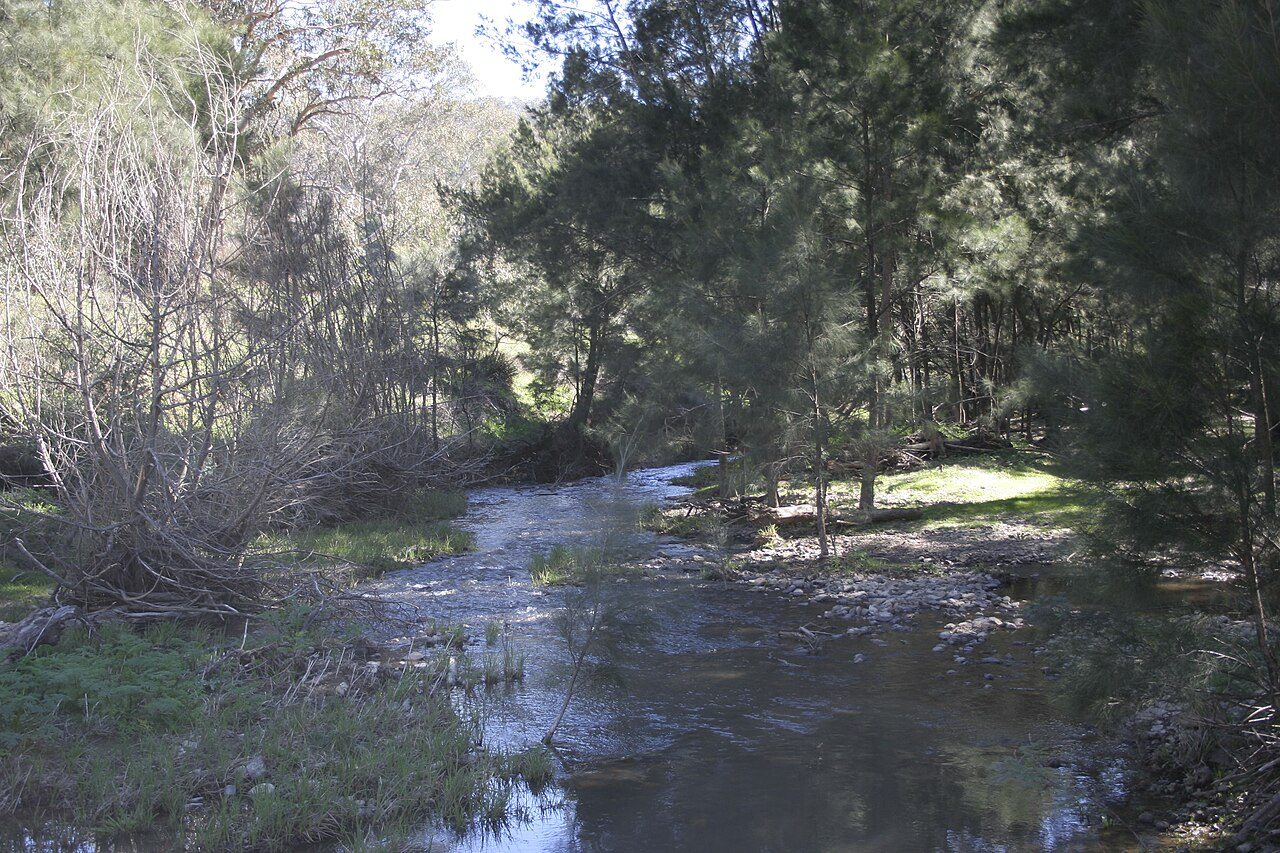

Frequently asked questions
Where is Garigal National Park?
Garigal National Park is in Australia (33.7058° S, 151.2360° E).
When was Garigal National Park established?
Garigal National Park was established in 1991, per the source listed at the foot of this page.
Sources
- https://www.wikidata.org/wiki/Q944803 — Wikidata (CC0) — name, country, coordinates, area, established year, highest point where stated.
- https://en.wikipedia.org/wiki/Garigal_National_Park — Wikipedia article — description (CC BY-SA).