
State Park · Minnesota, United States
Gateway State Trail
Gateway State Trail is a state park in Minnesota, United States.
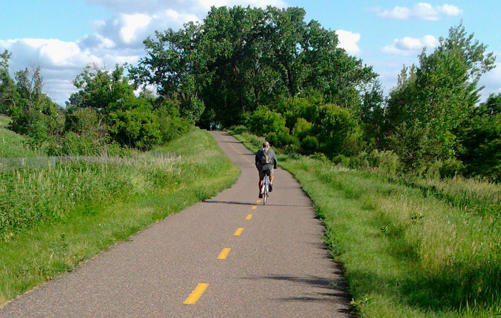
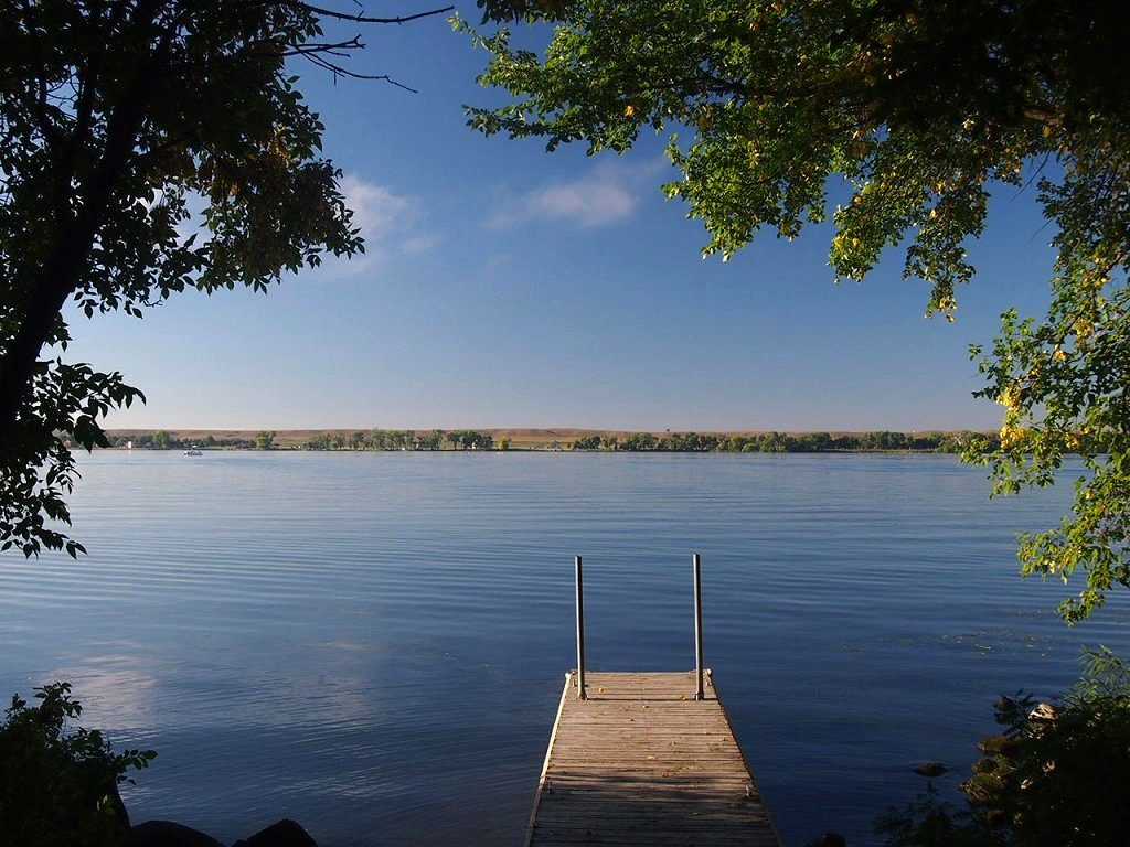
Photo: McGhiever via Wikimedia Commons, CC BY-SA 3.0. Cropped and resized for display.
Park facts
| Park type | State Park |
|---|---|
| Location | Minnesota, United States |
| Length | 18 miles (29 km) |
| Coordinates | 45.0233° N, 92.9778° W |
| Managed by | Minnesota state park system |
Every fact above is taken from the sources listed below; anything no source states is left blank rather than guessed.
About Gateway State Trail
The Gateway State Trail is a multi-use recreational rail trail in the U.S. state of Minnesota, running 18 miles (29 km) from Saint Paul to Pine Point Regional Park in Stillwater. It runs through urban landscapes of eastern Saint Paul in Ramsey County and rural farmland and forests in Washington County. It was designated a National Recreation Trail in 2002. The trail is open to walking, jogging, cycling, inline skating, and roller skiing during the summer. A side trail is designed for horseback riding. During the winter separate sections invite snowshoeing or cross-country skiing.
Description from the park's Wikipedia article (CC BY-SA), linked in the sources below.
Planning your visit
What to do
Airports near this park
The airports a visitor would actually fly into, nearest first — each link opens its profile on our sister site AirportProfiles.
- Minneapolis–Saint Paul International Airport / Wold–Chamberlain Field (MSP) · Minneapolis, United States · 15.5 miles away
Parks nearby
More parks in Minnesota


Frequently asked questions
Where is Gateway State Trail?
Gateway State Trail is in Minnesota, United States (45.0233° N, 92.9778° W).
Sources
- https://en.wikipedia.org/wiki/List_of_Minnesota_state_parks — Wikipedia list of Minnesota state parks — park name.
- https://en.wikipedia.org/wiki/Gateway_State_Trail — Wikipedia article — description (CC BY-SA).