
State Park · Maine, United States
Gero Island
Gero Island is a state park in Maine, United States.
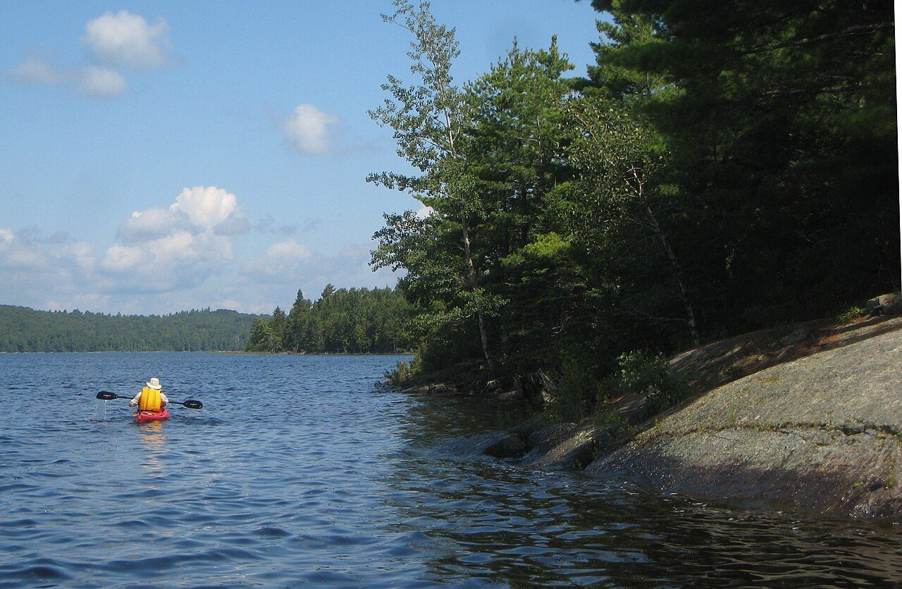
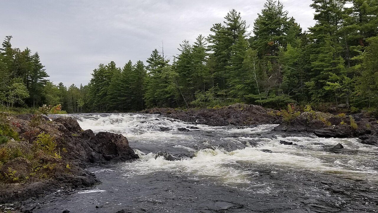
Photo: Chris Luczkow via Wikimedia Commons, CC BY 2.0. Cropped and resized for display.
Park facts
| Park type | State Park |
|---|---|
| Location | Piscataquis, Maine, United States |
| Coordinates | 46.0789° N, 69.3770° W |
| Managed by | Maine state park system |
Every fact above is taken from the sources listed below; anything no source states is left blank rather than guessed.
About Gero Island
Gero Island is a large island on Chesuncook Lake in Piscataquis County, Maine, United States. The island is 3,175 acres (1,285 ha) in area, with all but 133 acres (54 ha) regulated. It is known for exemplary natural communities of slender rush as well as white pine forest and lower elevation spruce-fir forest. Chesuncook Lake was created by damming the West Branch Penobscot River in the 19th and early 20th centuries. Most of the island's original trees were cut in the 1920s, while more were cut in the 1980s during a spruce budworm outbreak. There are four campsites along the shoreline.
Description from the park's Wikipedia article (CC BY-SA), linked in the sources below.
Planning your visit
What to do
Where to stay
| Campgrounds | Yes |
|---|
Airports near this park
The airports a visitor would actually fly into, nearest first — each link opens its profile on our sister site AirportProfiles.
- Quebec Jean Lesage International Airport (YQB) · Quebec, Canada · 107.9 miles away
Parks nearby
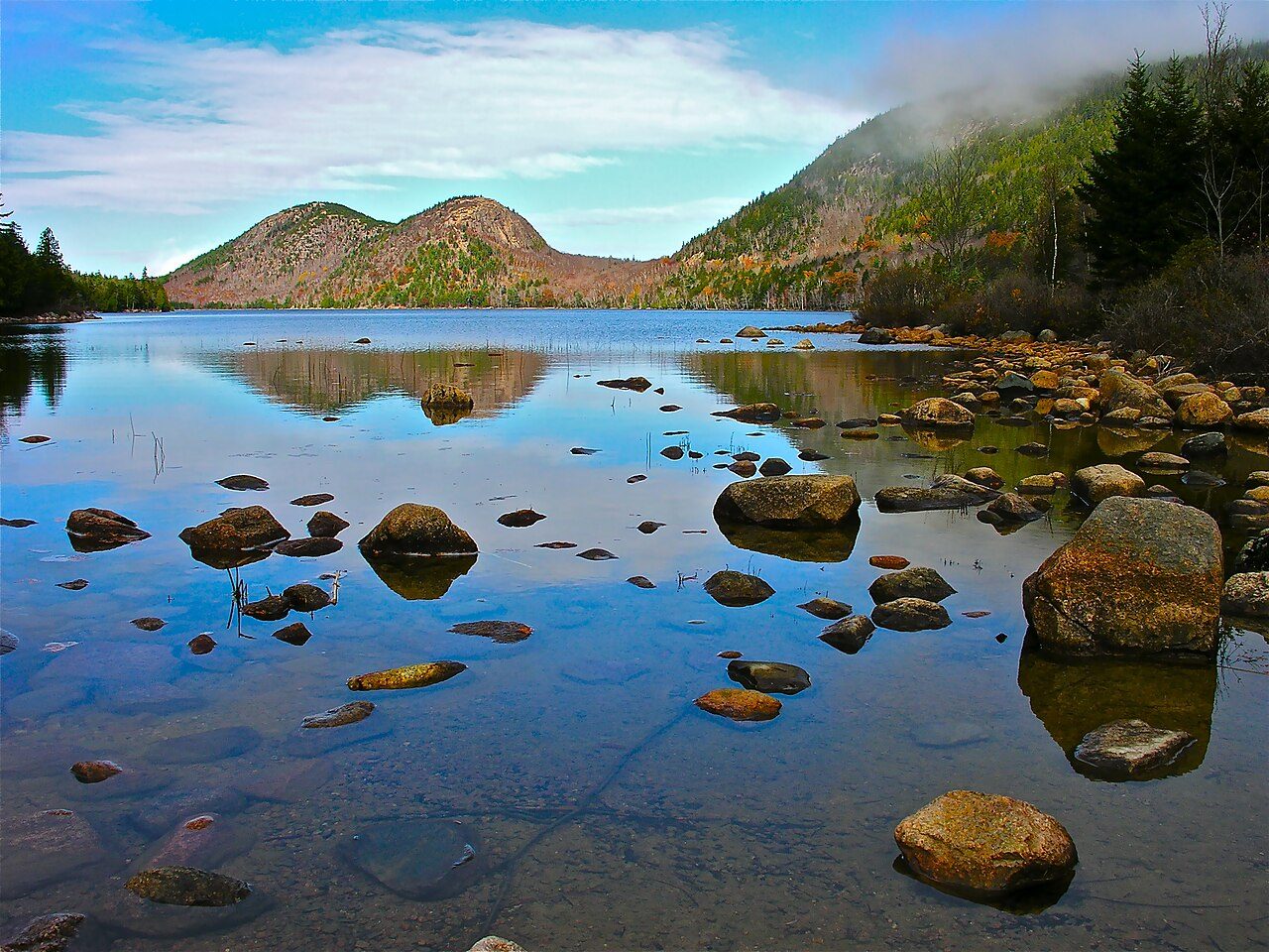
More parks in Maine
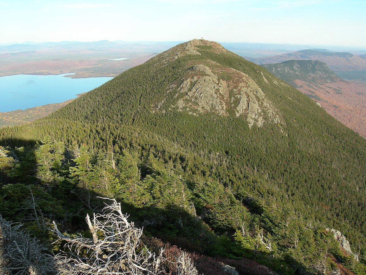
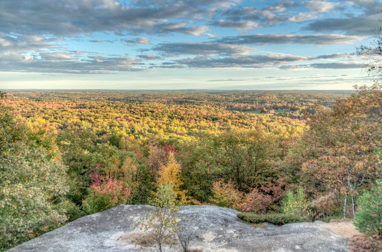

Frequently asked questions
Where is Gero Island?
Gero Island is in Maine, United States (46.0789° N, 69.3770° W).
Does Gero Island have campgrounds?
Yes — Gero Island has campgrounds.
Sources
- https://en.wikipedia.org/wiki/List_of_Maine_state_parks — Wikipedia list of Maine state parks — park name, county/location, size, year where the table states them.
- https://en.wikipedia.org/wiki/Gero_Island — Wikipedia article — description (CC BY-SA).