
National Park · Egypt
Gilf Kebir National Park
Gilf Kebir National Park is a national park in Egypt, established in 2007.
National Park · Egypt
No freely licensed photograph of this park is in our library yet — rather than borrow a picture of somewhere else, this profile leads with its verified facts.
Park facts
| Park type | National Park |
|---|---|
| Location | Egypt |
| Established | 2007 |
| Coordinates | 23.7500° N, 25.8333° E |
Every fact above is taken from the sources listed below; anything no source states is left blank rather than guessed.
About Gilf Kebir National Park
Gilf Kebir National Park (GKNP) (Arabic: محمية الجلف الكبير) is a national park located in the remote and hyper-arid New Valley Governorate, Egypt. Established in 2007, it has a surface area of 48533 km2, equal to about 5% of Egypt's territory. GKNP is delimited to the west by Libya and to the south by Sudan. At present there are no human settlements or facilities inside the GKNP.
Description from the park's Wikipedia article (CC BY-SA), linked in the sources below.
Airports near this park
The airports a visitor would actually fly into, nearest first — each link opens its profile on our sister site AirportProfiles.
- Kufra Airport (AKF) · Kufra, Libya · 161.8 miles away
Parks nearby
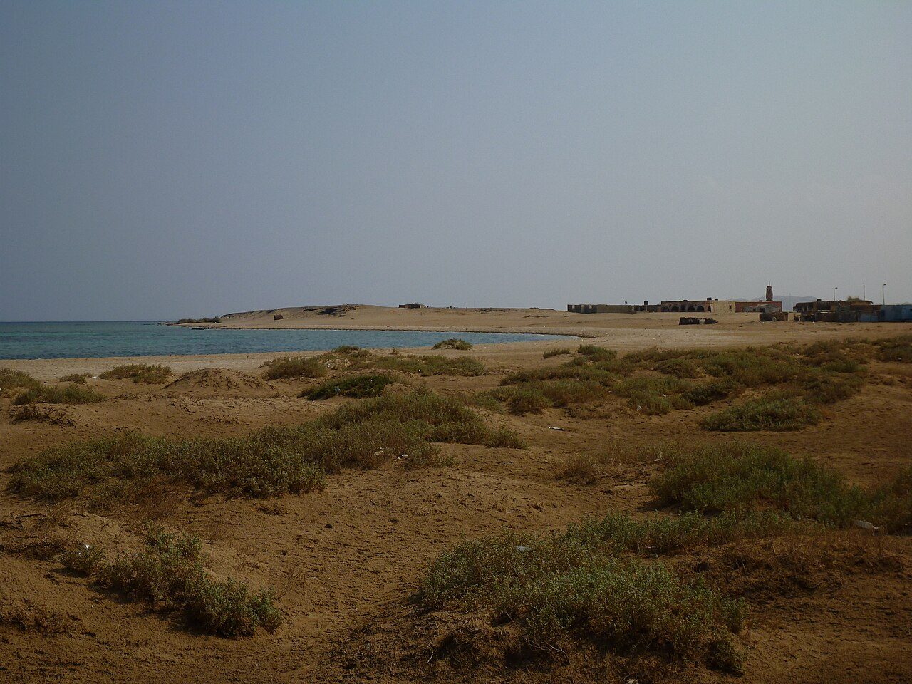
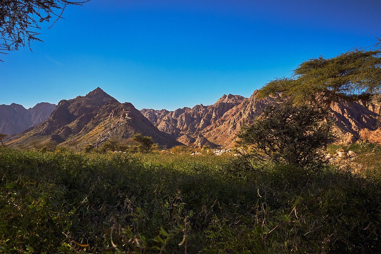
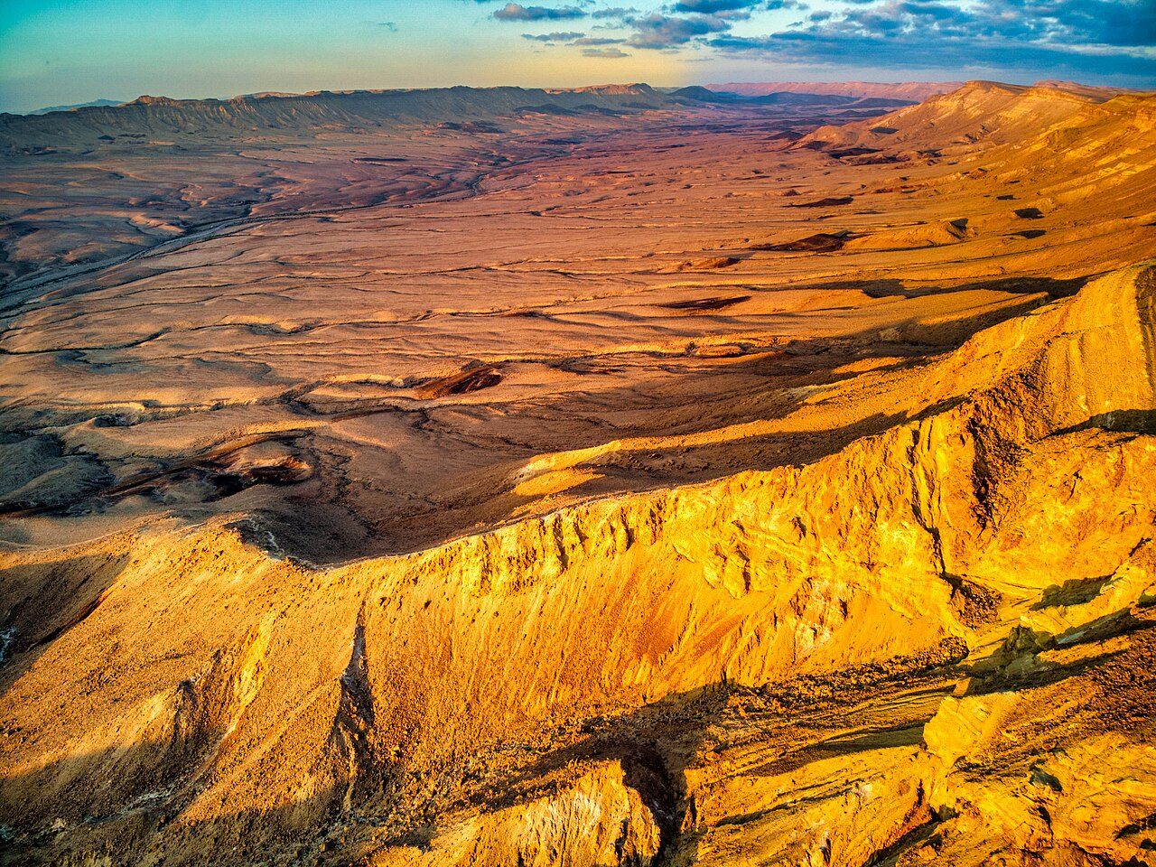
More parks in Egypt
Frequently asked questions
Where is Gilf Kebir National Park?
Gilf Kebir National Park is in Egypt (23.7500° N, 25.8333° E).
When was Gilf Kebir National Park established?
Gilf Kebir National Park was established in 2007, per the source listed at the foot of this page.
Sources
- https://www.wikidata.org/wiki/Q14300376 — Wikidata (CC0) — name, country, coordinates, area, established year, highest point where stated.
- https://en.wikipedia.org/wiki/Gilf_Kebir_National_Park — Wikipedia article — description (CC BY-SA).