
State Park · Utah, United States
Goosenecks State Park
Goosenecks State Park is a state park in Utah, United States, covering 10.0 acres (4.0 ha), established in 1962.
State Park · Utah, United States
No freely licensed photograph of this park is in our library yet — rather than borrow a picture of somewhere else, this profile leads with its verified facts.
Park facts
| Park type | State Park |
|---|---|
| Location | San Juan, Utah, United States |
| Area | 10.0 acres (4.0 ha) |
| Established | 1962 |
| Coordinates | 37.1747° N, 109.9269° W |
| Managed by | Utah state park system |
Every fact above is taken from the sources listed below; anything no source states is left blank rather than guessed.
About Goosenecks State Park
Goosenecks State Park is a state park in the U.S. state of Utah, overlooking a deep meander of the San Juan River. The park is located near the southern border of the state a short distance from Mexican Hat, Utah. Millions of years ago, the Monument Upwarp forced the river to carve incised meanders over 1,000 feet (300 m) deep as the surrounding landscape slowly rose in elevation. Eroded by water, wind, frost, and gravity, this is a classic location for observing incised meanders. Goosenecks State Park is largely undeveloped.
Description from the park's Wikipedia article (CC BY-SA), linked in the sources below.
Airports near this park
The airports a visitor would actually fly into, nearest first — each link opens its profile on our sister site AirportProfiles.
- Cortez Municipal Airport (CEZ) · Cortez, United States · 72.0 miles away
- Page Municipal Airport (PGA) · Page, United States · 85.6 miles away
- Canyonlands Regional Airport (CNY) · Moab, United States · 109.6 miles away
Parks nearby
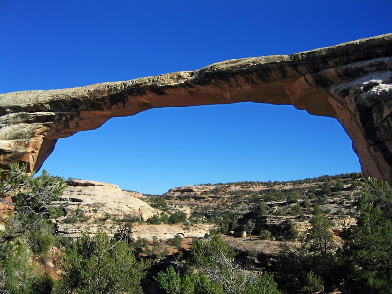
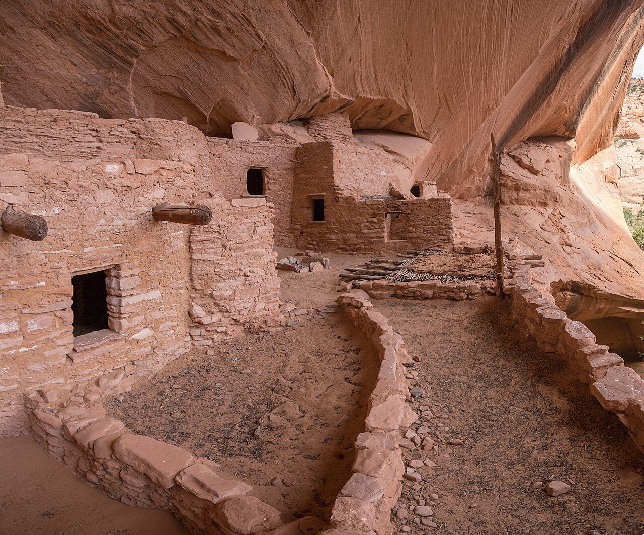
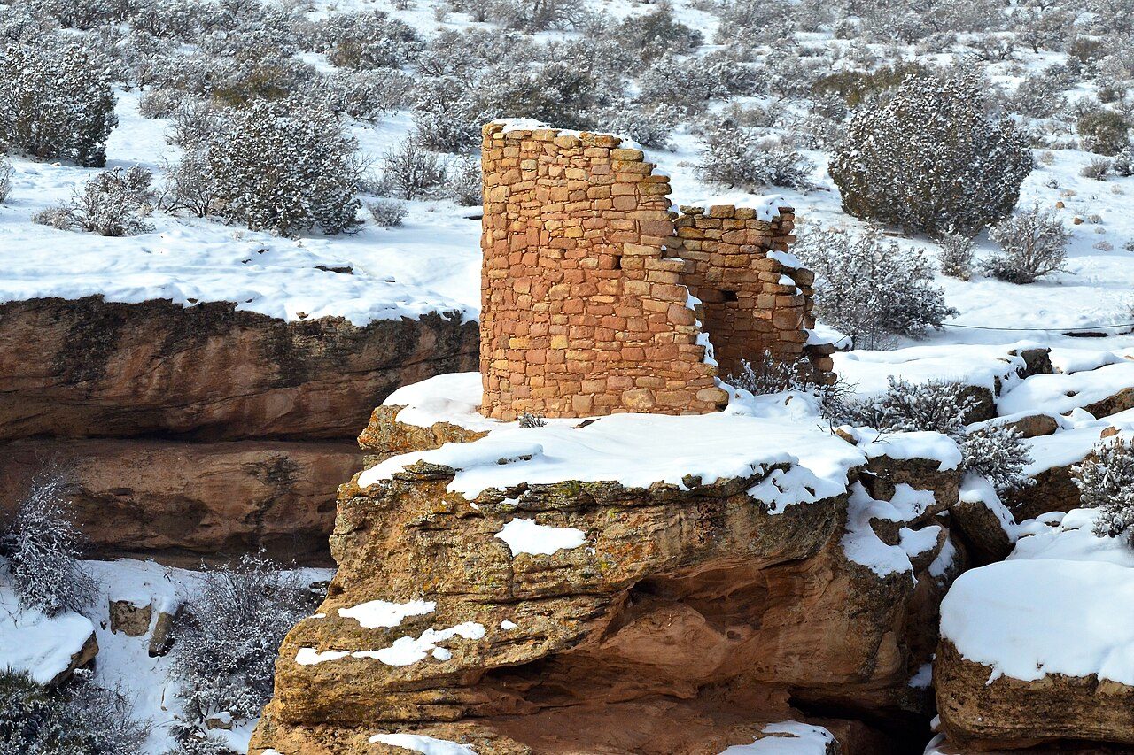
More parks in Utah
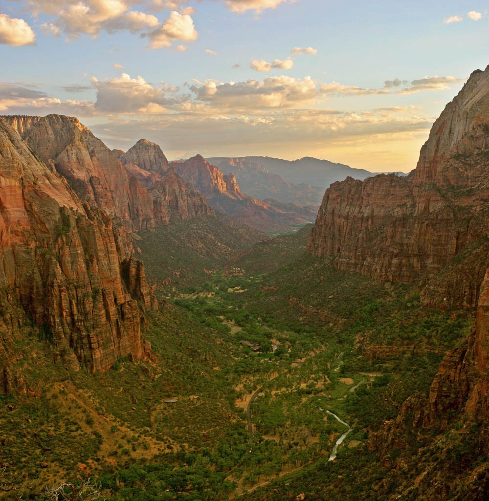
Frequently asked questions
Where is Goosenecks State Park?
Goosenecks State Park is in Utah, United States (37.1747° N, 109.9269° W).
When was Goosenecks State Park established?
Goosenecks State Park was established in 1962, per the source listed at the foot of this page.
How big is Goosenecks State Park?
Goosenecks State Park covers 10.0 acres (4.0 ha).
Sources
- https://en.wikipedia.org/wiki/List_of_Utah_State_Parks — Wikipedia list of Utah state parks — park name, county/location, size, year where the table states them.
- https://en.wikipedia.org/wiki/Goosenecks_State_Park — Wikipedia article — description (CC BY-SA).