
National Monument · New York (state), United States
Governors Island National Monument
Governors Island National Monument is a national monument in New York (state), United States, covering 22.9 acres (9.3 ha), established in 2001.
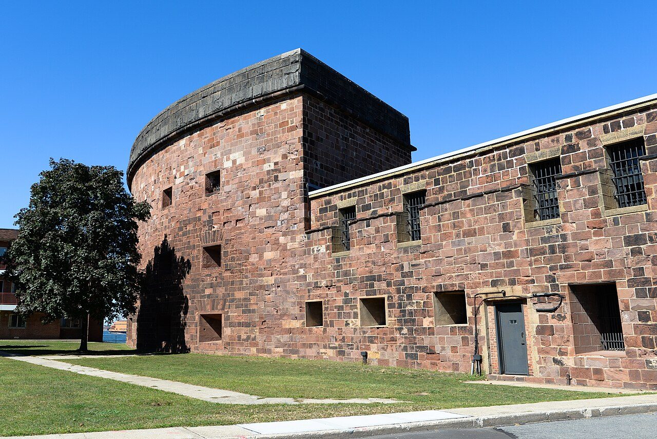
Photo: Fletcher6 via Wikimedia Commons, CC BY 4.0. Cropped and resized for display.
Park facts
| Park type | National Monument |
|---|---|
| Location | New York (state), United States |
| Area | 22.9 acres (9.3 ha) |
| Established | 2001 |
| Coordinates | 40.6914° N, 74.0161° W |
| Managed by | National Park Service |
Every fact above is taken from the sources listed below; anything no source states is left blank rather than guessed.
About Governors Island National Monument
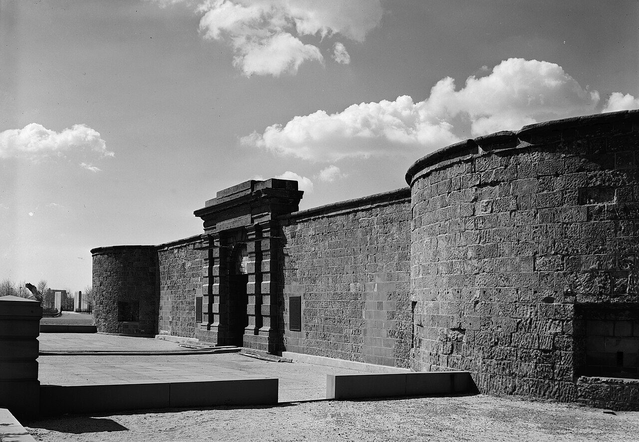
Governors Island National Monument is a unit of the United States national park system in New York City. It is located on 22 acres (89,000 m2) of Governors Island, a 172-acre (0.70 km2) island located off the southern tip of Manhattan Island, at the confluence of the Hudson and East rivers in New York Harbor.
Description from the park's Wikipedia article (CC BY-SA), linked in the sources below.
Like Governors Island National Monument? Visit Governors Island National Monument’s official park page for hours and current conditions before you travel.
Airports near this park
The airports a visitor would actually fly into, nearest first — each link opens its profile on our sister site AirportProfiles.
- Newark Liberty International Airport (EWR) · Newark, United States · 8.1 miles away
- LaGuardia Airport (LGA) · New York, United States · 9.6 miles away
- John F. Kennedy International Airport (JFK) · New York, United States · 12.9 miles away
Parks nearby
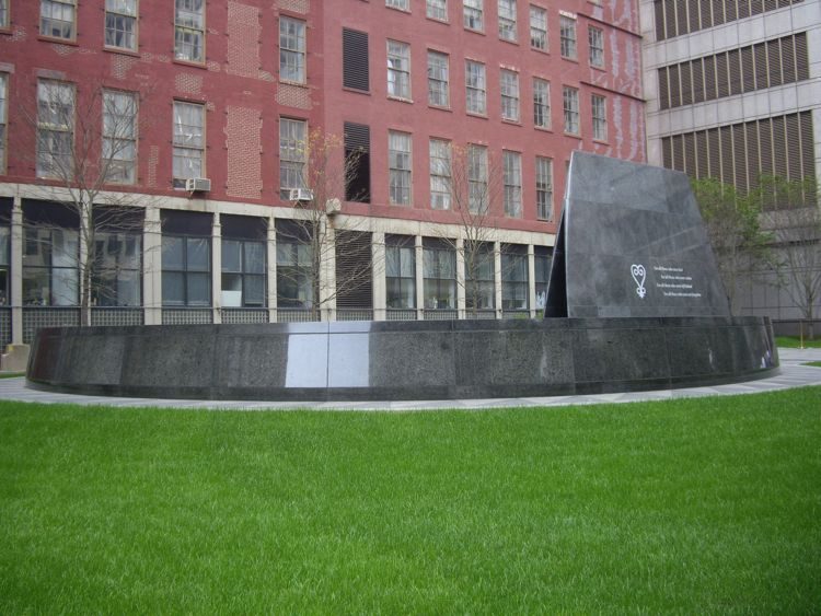
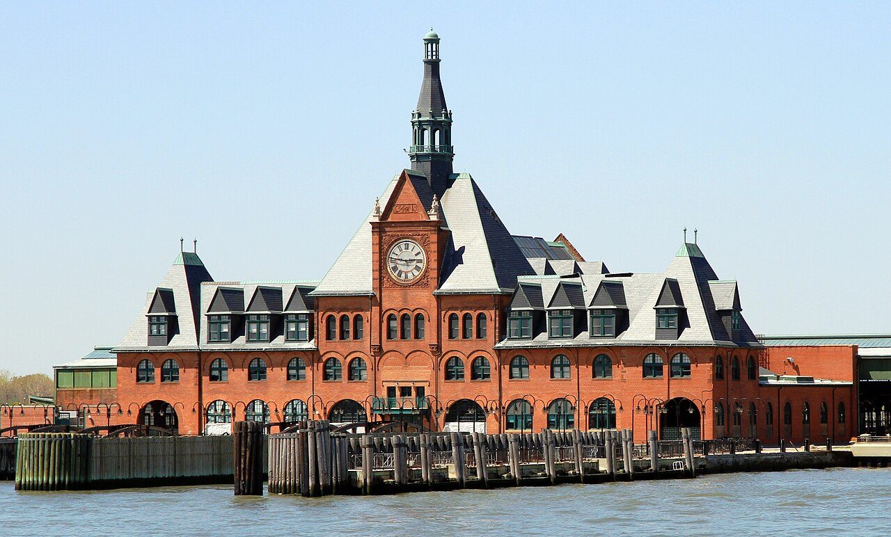
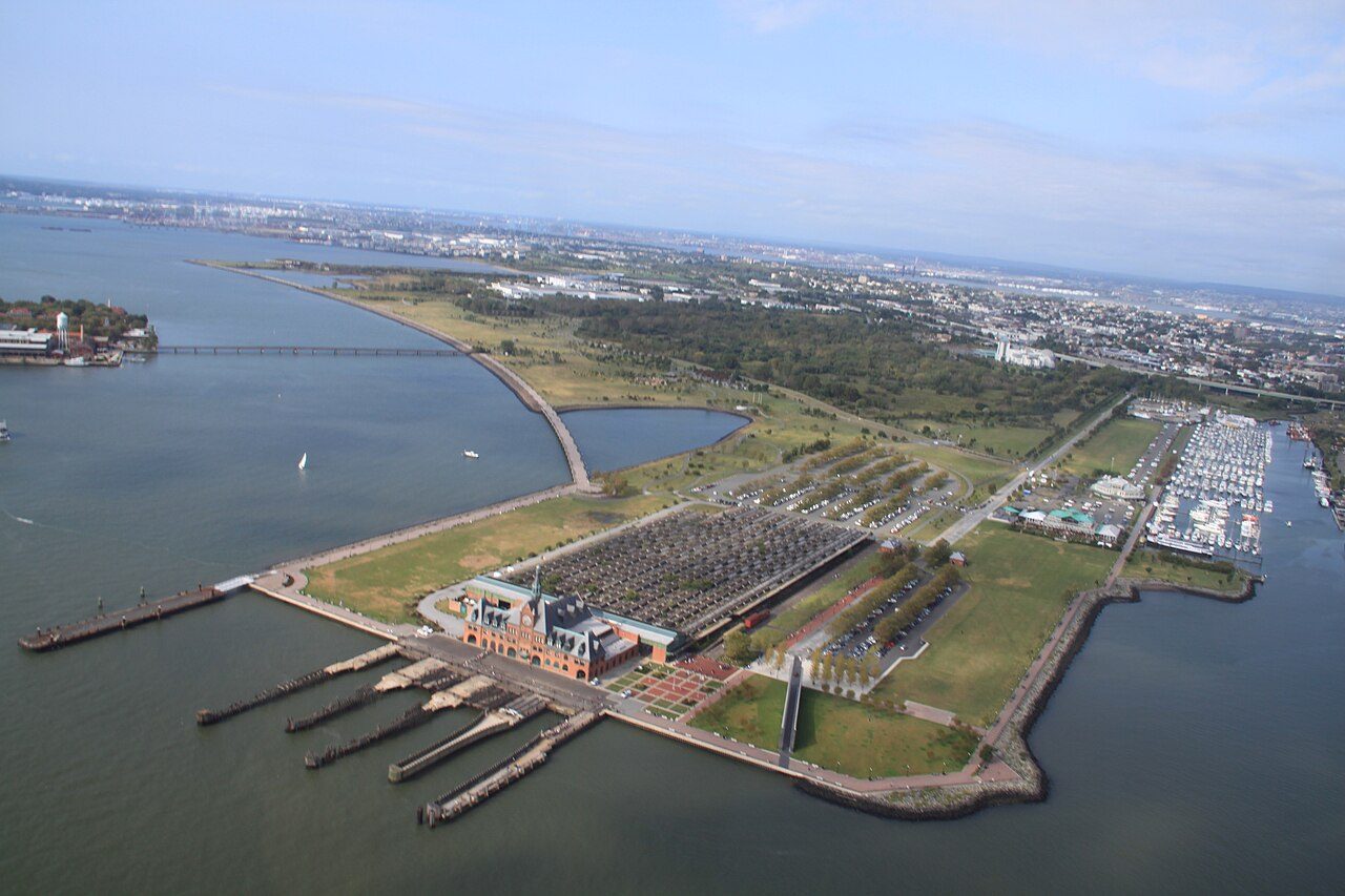
More parks in New York (state)


Frequently asked questions
Where is Governors Island National Monument?
Governors Island National Monument is in New York (state), United States (40.6914° N, 74.0161° W).
When was Governors Island National Monument established?
Governors Island National Monument was established in 2001, per the source listed at the foot of this page.
How big is Governors Island National Monument?
Governors Island National Monument covers 22.9 acres (9.3 ha).
Sources
- https://en.wikipedia.org/wiki/List_of_the_United_States_National_Park_System_official_units — Wikipedia list of National Park System official units — unit name, state, official designation.
- https://en.wikipedia.org/wiki/List_of_areas_in_the_United_States_National_Park_System — Wikipedia list of National Park System areas — year established and gross area.
- https://en.wikipedia.org/wiki/Governors_Island_National_Monument — Wikipedia article — description (CC BY-SA).
- https://www.nps.gov/gois/ — Official park page.