
State Park · West Virginia, United States
Greenbrier River Trail
Greenbrier River Trail is a state park in West Virginia, United States, covering 936 acres (379 ha).
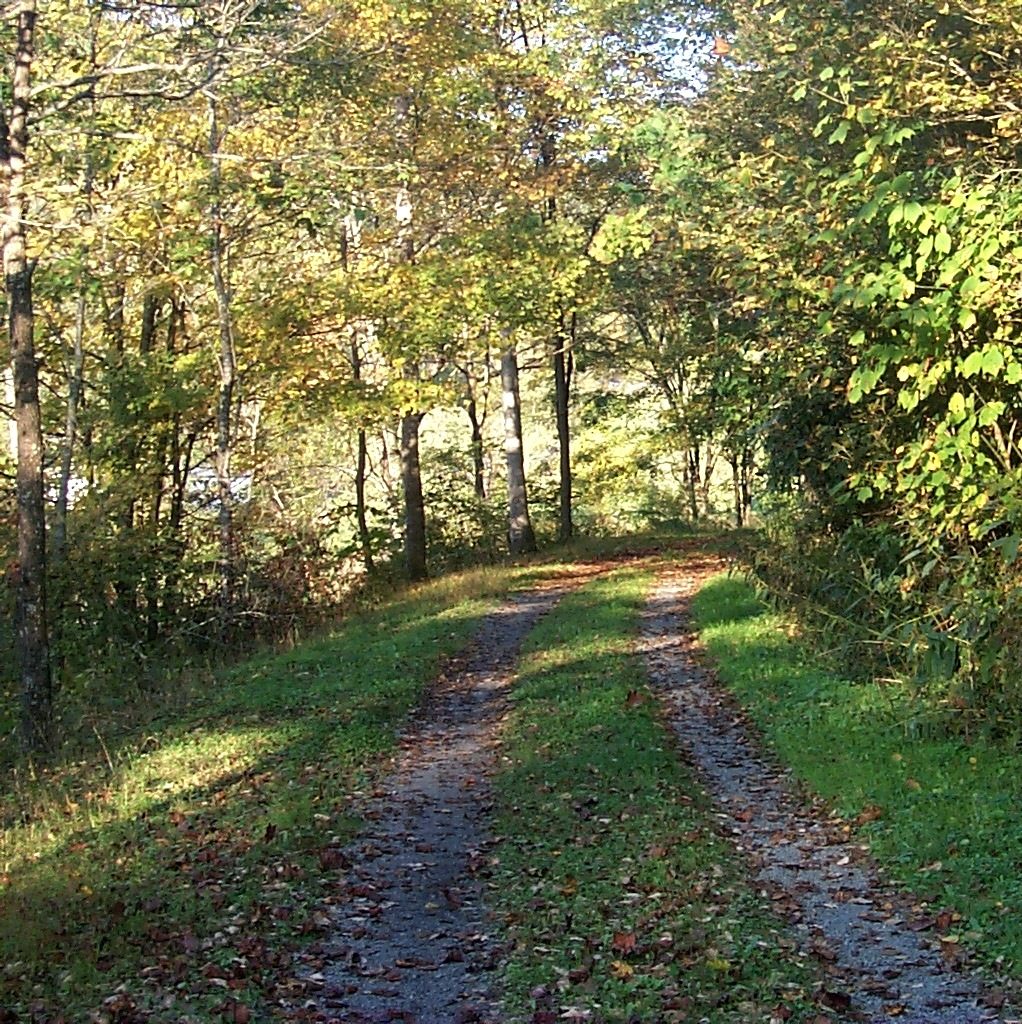
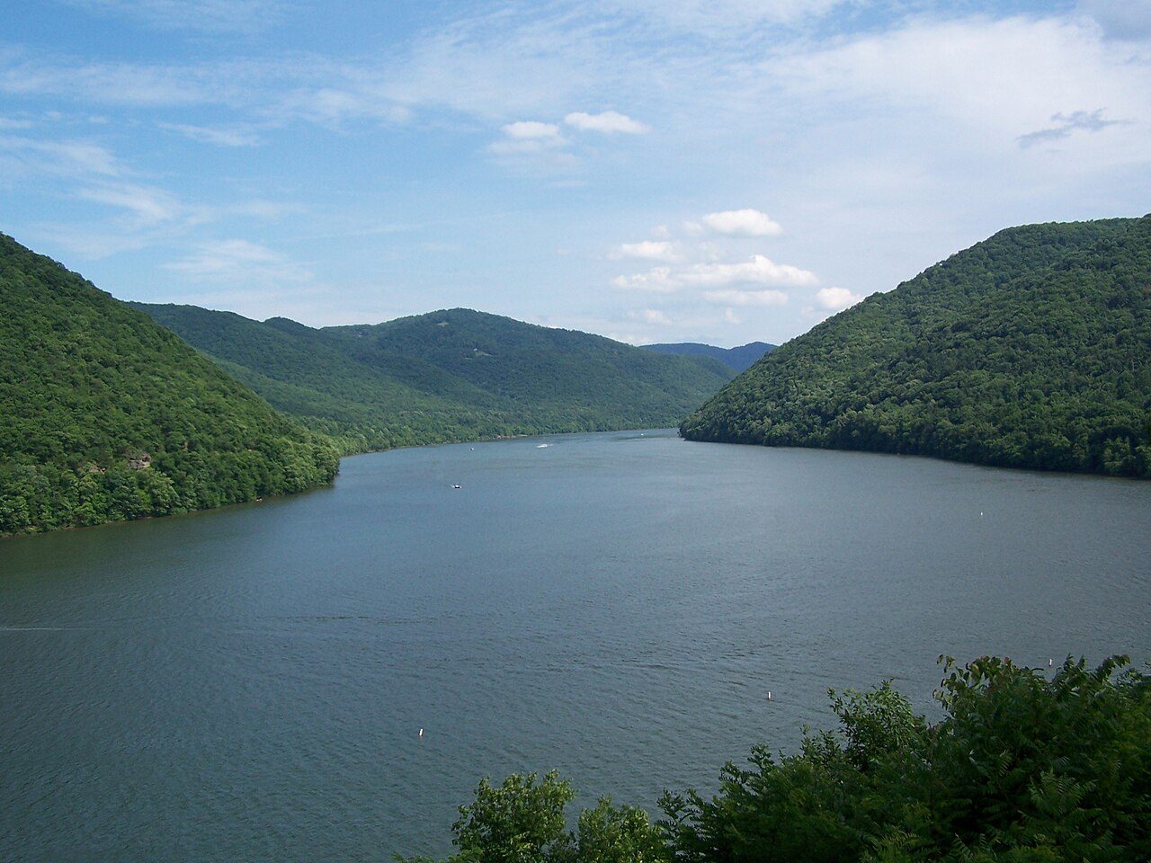
Photo: WVhybrid at en.wikipedia via Wikimedia Commons, CC BY 2.5. Cropped and resized for display.
Park facts
| Park type | State Park |
|---|---|
| Location | Greenbrier and Pocahontas 37°59′42″N 80°17′55″W / 37.99500°N 80.29861°W / 37.99500; -80.29861 ( Greenbrier River Trail ) [ 131 ], West Virginia, United States |
| Area | 936 acres (379 ha) |
| Coordinates | 38.2217° N, 80.0942° W |
| Managed by | West Virginia state park system |
Every fact above is taken from the sources listed below; anything no source states is left blank rather than guessed.
About Greenbrier River Trail
The Greenbrier River Trail (GRT), is a lineal state park comprising a 77.1-mile (124.1 km) rail trail between North Caldwell and Cass in eastern West Virginia, United States. The GRT route and its contours were originally engineered by the Chesapeake and Ohio Railway, serving as a passenger and freight line before becoming unviable after the Great Depression. The right of way was gifted to the State of West Virginia in the late 1970s and the former railbed reopened in 1980 as a recreational multi-use trail.
Description from the park's Wikipedia article (CC BY-SA), linked in the sources below.
Airports near this park
The airports a visitor would actually fly into, nearest first — each link opens its profile on our sister site AirportProfiles.
- Piedmont Triad International Airport (GSO) · Greensboro, United States · 146.9 miles away
Parks nearby
More parks in West Virginia

Frequently asked questions
Where is Greenbrier River Trail?
Greenbrier River Trail is in West Virginia, United States (38.2217° N, 80.0942° W).
How big is Greenbrier River Trail?
Greenbrier River Trail covers 936 acres (379 ha).
Sources
- https://en.wikipedia.org/wiki/List_of_West_Virginia_state_parks — Wikipedia list of West Virginia state parks — park name, county/location, size, year where the table states them.
- https://en.wikipedia.org/wiki/Greenbrier_River_Trail — Wikipedia article — description (CC BY-SA).