
State Park · Minnesota, United States
Heartland State Trail
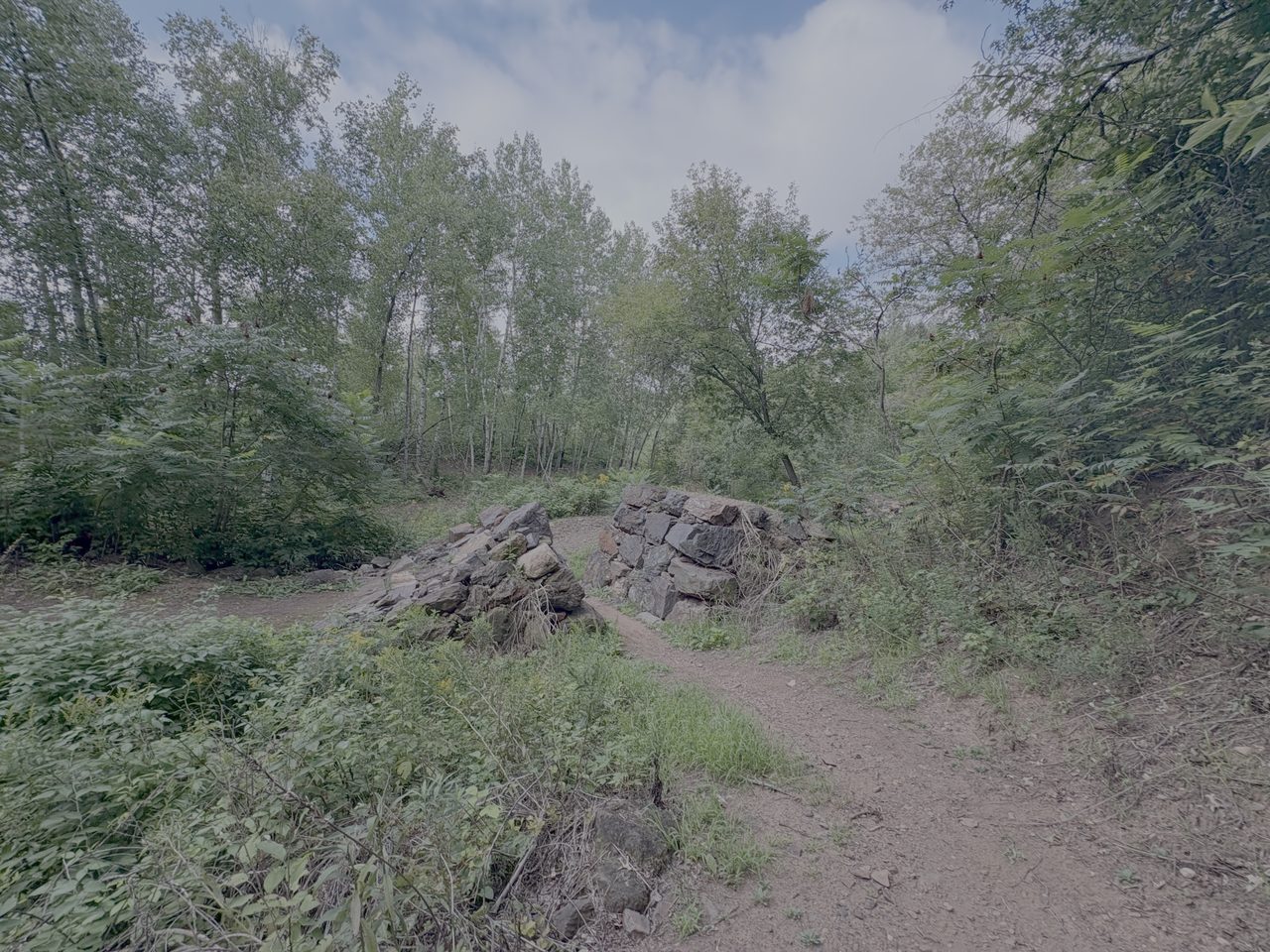
Heartland State Trail is a state park in Minnesota, United States.
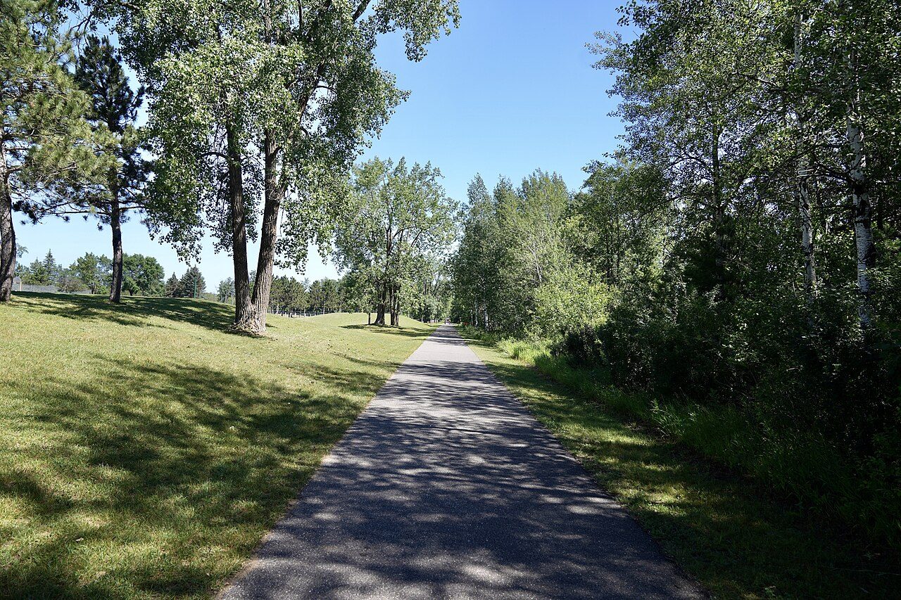
Photo: Richard N Horne via Wikimedia Commons, CC BY-SA 4.0. Cropped and resized for display.
Park facts
| Park type | State Park |
|---|---|
| Location | Minnesota, United States |
| Length | 49 miles (78.9 km) |
| Coordinates | 47.1522° N, 94.6403° W |
| Managed by | Minnesota state park system |
Every fact above is taken from the sources listed below; anything no source states is left blank rather than guessed.
About Heartland State Trail
The Heartland State Trail is a multi-use recreational rail trail in north-central Minnesota, United States. The main trail runs 49 miles (79 km) between Park Rapids and Cass Lake, intersecting with the Paul Bunyan State Trail around Walker. Both the Park Rapids to Walker and Walker to Cass Lake segments are paved; the Park Rapids to Walker segment also has a parallel natural-surface trail for horseback riding, hiking and mountain biking. A 4-mile (6.4 km) segment north of Walker has sharply rolling terrain for snowmobiles; DNR maps show a marked alternate route on paved road shoulders for bicyclists.
Description from the park's Wikipedia article (CC BY-SA), linked in the sources below.
Planning your visit
What to do
Airports near this park
The airports a visitor would actually fly into, nearest first — each link opens its profile on our sister site AirportProfiles.
- Brainerd Lakes Regional Airport (BRD) · Brainerd, United States · 57.1 miles away
- Range Regional Airport (HIB) · Hibbing, United States · 86.1 miles away
- Thief River Falls Regional Airport (TVF) · Thief River Falls, United States · 95.7 miles away
Parks nearby
More parks in Minnesota

Frequently asked questions
Where is Heartland State Trail?
Heartland State Trail is in Minnesota, United States (47.1522° N, 94.6403° W).
Sources
- https://en.wikipedia.org/wiki/List_of_Minnesota_state_parks — Wikipedia list of Minnesota state parks — park name.
- https://en.wikipedia.org/wiki/Heartland_State_Trail — Wikipedia article — description (CC BY-SA).