
State Park · Illinois, United States
Hennepin Canal Parkway State Park
Hennepin Canal Parkway State Park is a state park in Illinois, United States, established in 1970.
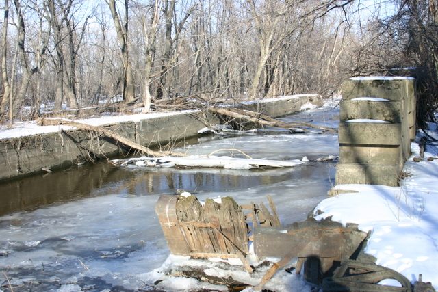
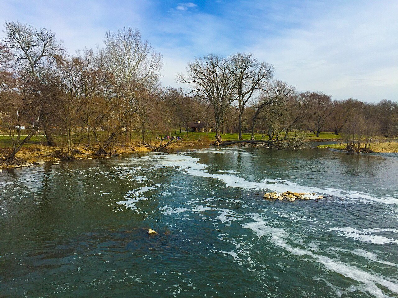
Photo: Russ Price ( SIGBUS ) via Wikimedia Commons, CC BY-SA 2.5. Cropped and resized for display.
Park facts
| Park type | State Park |
|---|---|
| Location | Bureau , Lee , Whiteside , Rock Island , Henry, Illinois, United States |
| Established | 1970 |
| Coordinates | 41.3789° N, 89.6914° W |
| Managed by | Illinois state park system |
Every fact above is taken from the sources listed below; anything no source states is left blank rather than guessed.
About Hennepin Canal Parkway State Park
The Hennepin Canal State Trail, also just called the Hennepin Canal, is an abandoned waterway in northwest Illinois, between the Mississippi River at Rock Island and the Illinois River near Hennepin. The entire canal is listed on the National Register of Historic Places. Opened in 1907, the canal was soon abandoned because of railroad competition. It was resurrected in the late 20th century as a recreational waterway. Its former name was the Illinois and Mississippi Canal. The main canal length is 75.2 miles (121.0 km), and its feeder canal is 29.3 miles (47.2 km) long.
Description from the park's Wikipedia article (CC BY-SA), linked in the sources below.
Airports near this park
The airports a visitor would actually fly into, nearest first — each link opens its profile on our sister site AirportProfiles.
- Chicago O'Hare International Airport (ORD) · Chicago, United States · 101.1 miles away
- Chicago Midway International Airport (MDW) · Chicago, United States · 104.1 miles away
- General Mitchell International Airport (MKE) · Milwaukee, United States · 142.1 miles away
Parks nearby
Mautino State Fish and Wildlife Area
Donnelley/Depue State Park
Green River State Wildlife Area
Prophetstown State Recreation Area
Rock Island Trail State Park
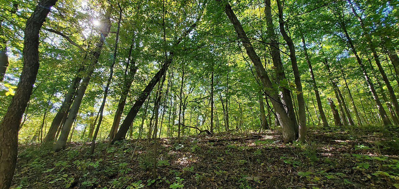
Mitchell's Grove Nature Preserve
More parks in Illinois

Frequently asked questions
Where is Hennepin Canal Parkway State Park?
Hennepin Canal Parkway State Park is in Illinois, United States (41.3789° N, 89.6914° W).
When was Hennepin Canal Parkway State Park established?
Hennepin Canal Parkway State Park was established in 1970, per the source listed at the foot of this page.
Sources
- https://en.wikipedia.org/wiki/List_of_protected_areas_of_Illinois — Wikipedia list of Illinois state parks — park name, county/location, size, year where the table states them.
- https://en.wikipedia.org/wiki/Hennepin_Canal_Parkway_State_Park — Wikipedia article — description (CC BY-SA).