
State Park · Virginia, United States
High Bridge Trail State Park
High Bridge Trail State Park is a state park in Virginia, United States, covering 1,236 acres (500 ha), established in 2006.
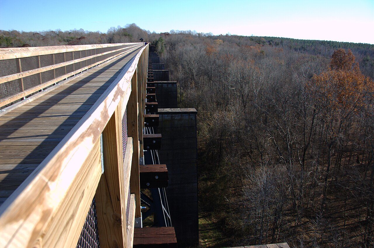
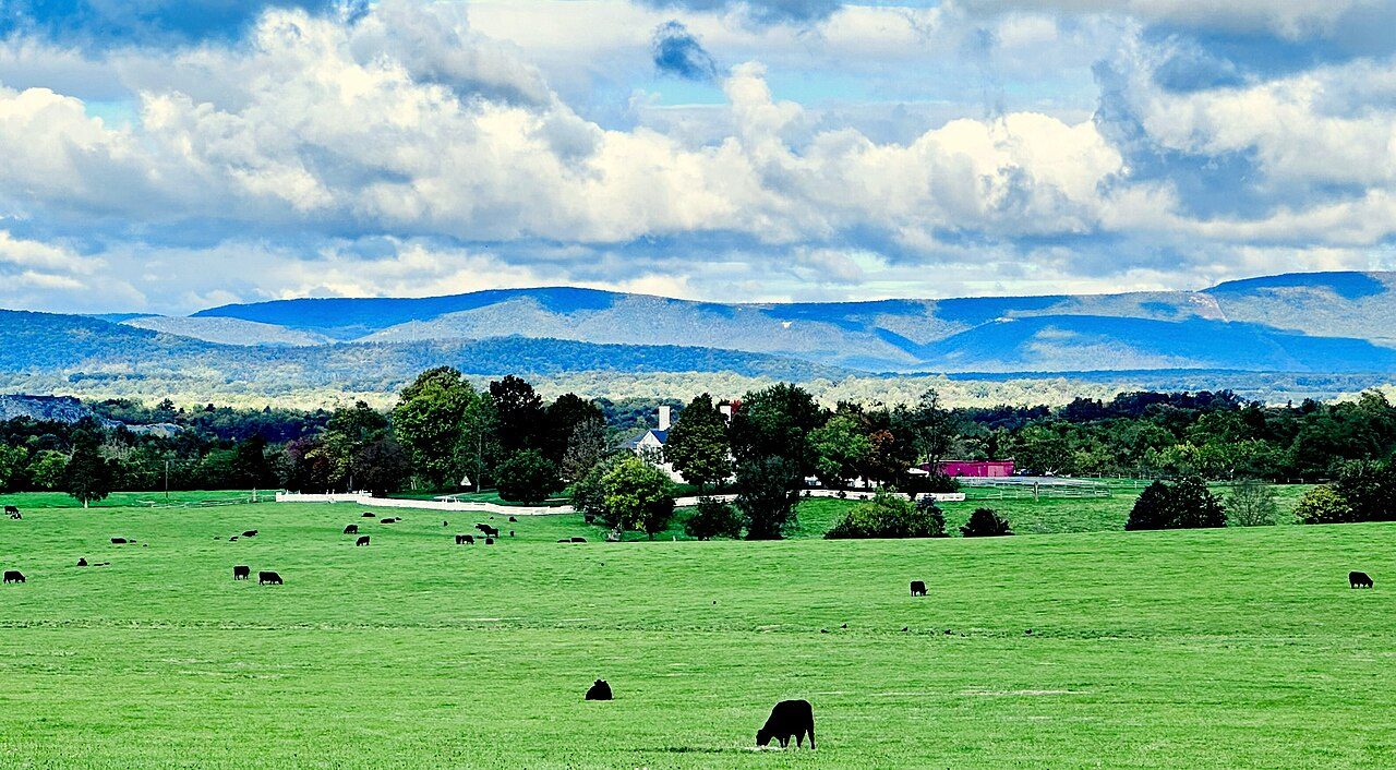
Photo: Mark Turner via Wikimedia Commons, Public domain. Cropped and resized for display.
Park facts
| Park type | State Park |
|---|---|
| Location | Farmville, Virginia, United States |
| Area | 1,236 acres (500 ha) |
| Established | 2006 |
| Coordinates | 37.3113° N, 78.3183° W |
| Managed by | Virginia state park system |
Every fact above is taken from the sources listed below; anything no source states is left blank rather than guessed.
About High Bridge Trail State Park
High Bridge Trail State Park is a rail trail in Southside Virginia converted from a rail line last belonging to Norfolk Southern. The first section of the High Bridge Trail opened in 2008 with the most recent extension into The Town of Pamplin completed in Spring 2024. With a length of more than thirty miles, the trail is shared by bicyclists, pedestrians and equestrians — and includes a restored crossing at the Appomattox River over the historic High Bridge – from which the park derives its name.
Description from the park's Wikipedia article (CC BY-SA), linked in the sources below.
Airports near this park
The airports a visitor would actually fly into, nearest first — each link opens its profile on our sister site AirportProfiles.
- Richmond International Airport (RIC) · Richmond, United States · 56.4 miles away
- Raleigh-Durham International Airport (RDU) · Raleigh/Durham, United States · 102.3 miles away
- Norfolk International Airport (ORF) · Norfolk, United States · 120.2 miles away
Parks nearby

More parks in Virginia
Shenandoah National Park
Wolf Trap National Park for the Performing Arts
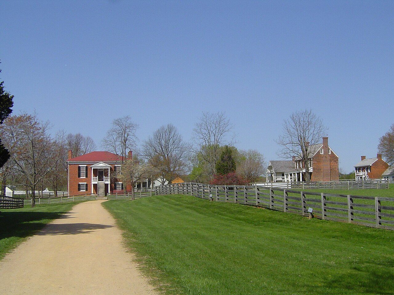
Appomattox Court House National Historical Park

Arlington House, The Robert E. Lee Memorial
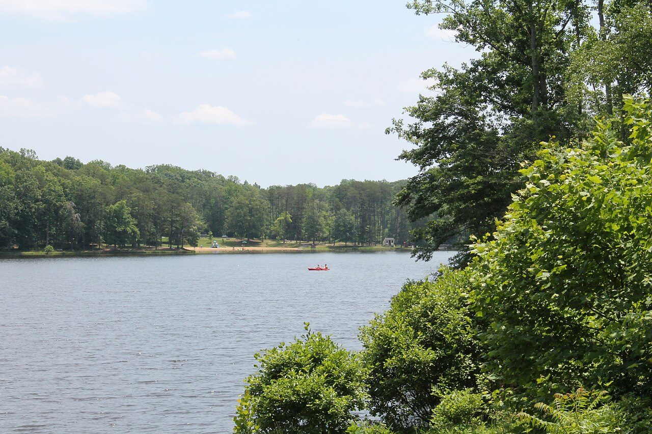
Bear Creek Lake State Park
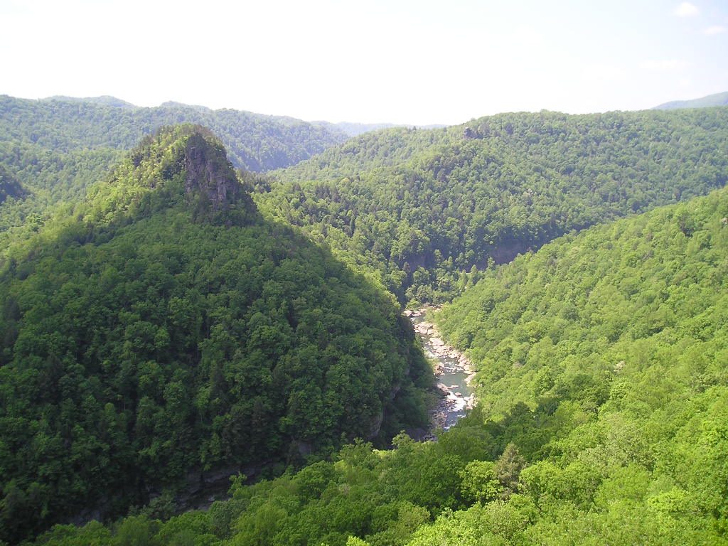
Breaks Interstate Park
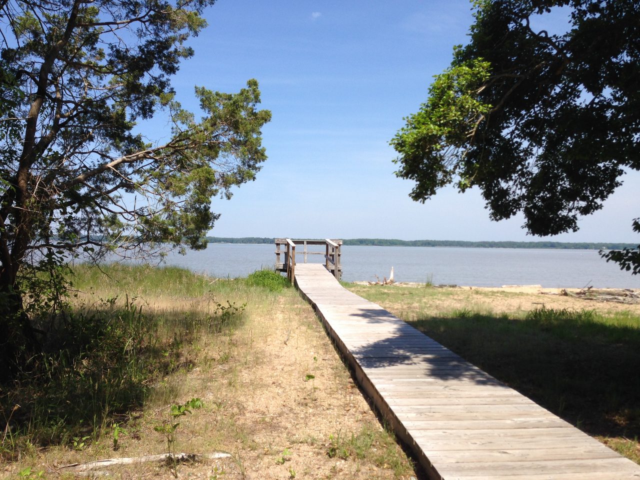
Caledon State Park
Cedar Creek and Belle Grove National Historical Park
Frequently asked questions
Where is High Bridge Trail State Park?
High Bridge Trail State Park is in Virginia, United States (37.3113° N, 78.3183° W).
When was High Bridge Trail State Park established?
High Bridge Trail State Park was established in 2006, per the source listed at the foot of this page.
How big is High Bridge Trail State Park?
High Bridge Trail State Park covers 1,236 acres (500 ha).
Sources
- https://en.wikipedia.org/wiki/List_of_Virginia_state_parks — Wikipedia list of Virginia state parks — park name, county/location, size, year where the table states them.
- https://en.wikipedia.org/wiki/High_Bridge_Trail_State_Park — Wikipedia article — description (CC BY-SA).