
State Park · Australia
Holey Plains State Park
Holey Plains State Park is a state park in Australia, covering 26,554 acres (10,746 ha), established in 1977.
State Park · Australia
No freely licensed photograph of this park is in our library yet — rather than borrow a picture of somewhere else, this profile leads with its verified facts.
Park facts
| Park type | State Park |
|---|---|
| Location | Australia |
| Area | 26,554 acres (10,746 ha) |
| Established | 1977 |
| Coordinates | 38.2167° S, 146.9167° E |
Every fact above is taken from the sources listed below; anything no source states is left blank rather than guessed.
About Holey Plains State Park
Holey Plains State Park is a 10,638-hectare (26,290-acre) state park in East Gippsland, Victoria in south-eastern Australia. It is known for its exceptionally diverse flora, with about one in five plant species known in Victoria present in the park. The park is situated between Rosedale and Sale. Prompted by lobbying from the Latrobe Valley Field Naturalists Club and a professional assessment by botanist James Hamlyn Willis, the park was identified in 1973, officially opening in 1977. The terrain is mostly Banksia and Eucalyptus with open forest and woodlands growing on sandy ridges.
Description from the park's Wikipedia article (CC BY-SA), linked in the sources below.
Airports near this park
The airports a visitor would actually fly into, nearest first — each link opens its profile on our sister site AirportProfiles.
- Melbourne Airport (MEL) · Melbourne, Australia · 119.4 miles away
- Melbourne Avalon International Airport (AVV) · Geelong/Melbourne, Australia · 133.7 miles away
Parks nearby
Ninety Mile Beach Marine National Park
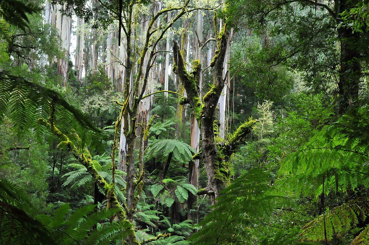
Tarra-Bulga National Park
Morwell National Park
Gippsland Lakes Coastal Park
Moondarra State Park
Mitchell River National Park
More parks in Australia
Frequently asked questions
Where is Holey Plains State Park?
Holey Plains State Park is in Australia (38.2167° S, 146.9167° E).
When was Holey Plains State Park established?
Holey Plains State Park was established in 1977, per the source listed at the foot of this page.
How big is Holey Plains State Park?
Holey Plains State Park covers 26,554 acres (10,746 ha).
Sources
- https://www.wikidata.org/wiki/Q14935162 — Wikidata (CC0) — name, country, coordinates, area, established year, highest point where stated.
- https://en.wikipedia.org/wiki/Holey_Plains_State_Park — Wikipedia article — description (CC BY-SA).