
State Park · Illinois, United States
Horseshoe Lake State Park
Horseshoe Lake State Park is a state park in Illinois, United States.
State Park · Illinois, United States
No freely licensed photograph of this park is in our library yet — rather than borrow a picture of somewhere else, this profile leads with its verified facts.
Park facts
| Park type | State Park |
|---|---|
| Location | Madison, Illinois, United States |
| Coordinates | 38.6856° N, 90.0942° W |
| Managed by | Illinois state park system |
Every fact above is taken from the sources listed below; anything no source states is left blank rather than guessed.
About Horseshoe Lake State Park
Horseshoe Lake State Park is an Illinois state park in Madison County, Illinois, United States. It is approximately 2,960 acres (1,198 ha) and surrounds a large horseshoe-shaped lake called Horseshoe Lake. Horseshoe Lake is the second largest natural lake in Illinois taking up approximately 2,400 acres (971 ha) of the 2,960-acre (1,198 ha) park. The park has connections to Madison County Transit's Schoolhouse Trail, which connects to over 85 miles (137 km) of bike trail in Madison County, and even a trail which goes all of the way to downtown St. Louis after crossing the Mississippi River on the Chain of Rocks Bridge.
Description from the park's Wikipedia article (CC BY-SA), linked in the sources below.
Planning your visit
Famous trails
- Schoolhouse Trail
Airports near this park
The airports a visitor would actually fly into, nearest first — each link opens its profile on our sister site AirportProfiles.
- St. Louis Lambert International Airport (STL) · St Louis, United States · 15.5 miles away
Parks nearby
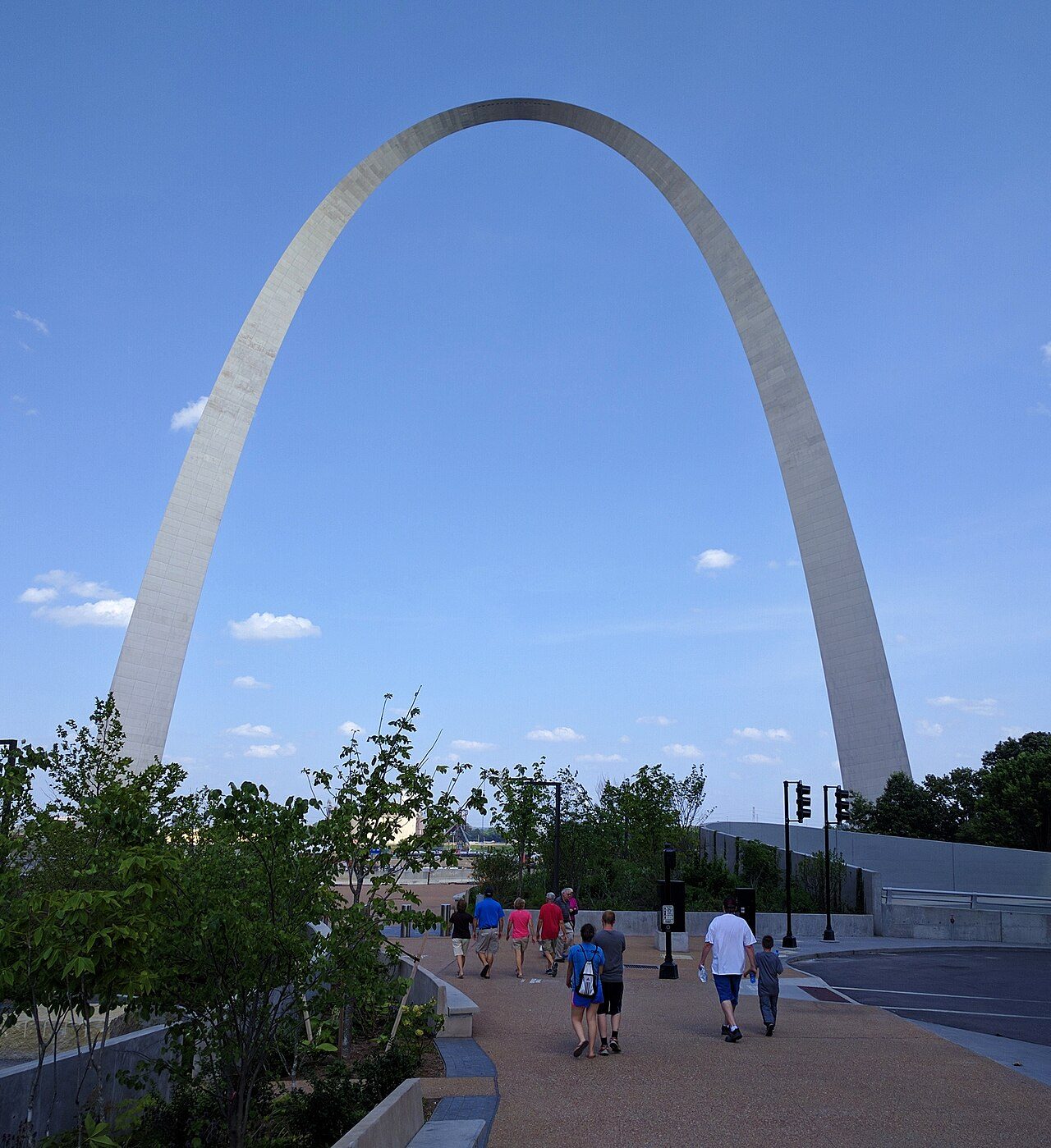
Gateway Arch National Park
Frank Holten State Recreation Area
Scott Joplin House State Historic Site
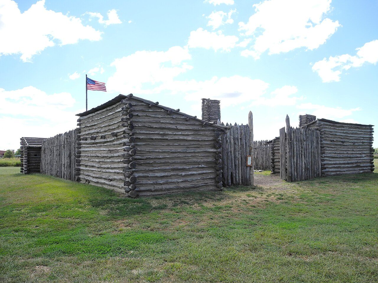
Lewis and Clark State Historic Site
Edward "Ted" and Pat Jones-Confluence Point State Park
Bohm Woods Nature Preserve
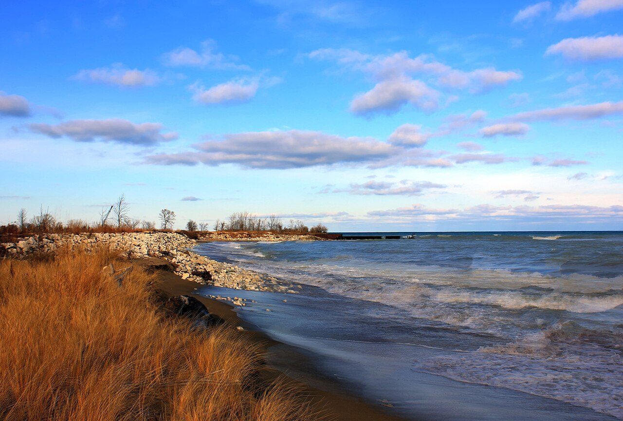
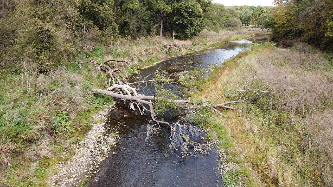
More parks in Illinois
Frequently asked questions
Where is Horseshoe Lake State Park?
Horseshoe Lake State Park is in Illinois, United States (38.6856° N, 90.0942° W).
Sources
- https://en.wikipedia.org/wiki/List_of_protected_areas_of_Illinois — Wikipedia list of Illinois state parks — park name, county/location, size, year where the table states them.
- https://en.wikipedia.org/wiki/Horseshoe_Lake_State_Park — Wikipedia article — description (CC BY-SA).