
National Park · Bolivia
Isiboro Sécure National Park and Indigenous Territory
Isiboro Sécure National Park and Indigenous Territory is a national park in Bolivia, covering 3,054,959 acres (1,236,299 ha), established in 1965.
National Park · Bolivia
No freely licensed photograph of this park is in our library yet — rather than borrow a picture of somewhere else, this profile leads with its verified facts.
Park facts
| Park type | National Park |
|---|---|
| Location | Bolivia |
| Area | 3,054,959 acres (1,236,299 ha) |
| Established | 1965 |
| Coordinates | 15.4500° S, 66.6667° W |
Every fact above is taken from the sources listed below; anything no source states is left blank rather than guessed.
Airports near this park
The airports a visitor would actually fly into, nearest first — each link opens its profile on our sister site AirportProfiles.
- El Alto International Airport (LPB) · La Paz / El Alto, Bolivia · 124.9 miles away
- Jorge Wilsterman International Airport (CBB) · Cochabamba, Bolivia · 140.0 miles away
Parks nearby
Cotapata National Park and Integrated Management Natural Area
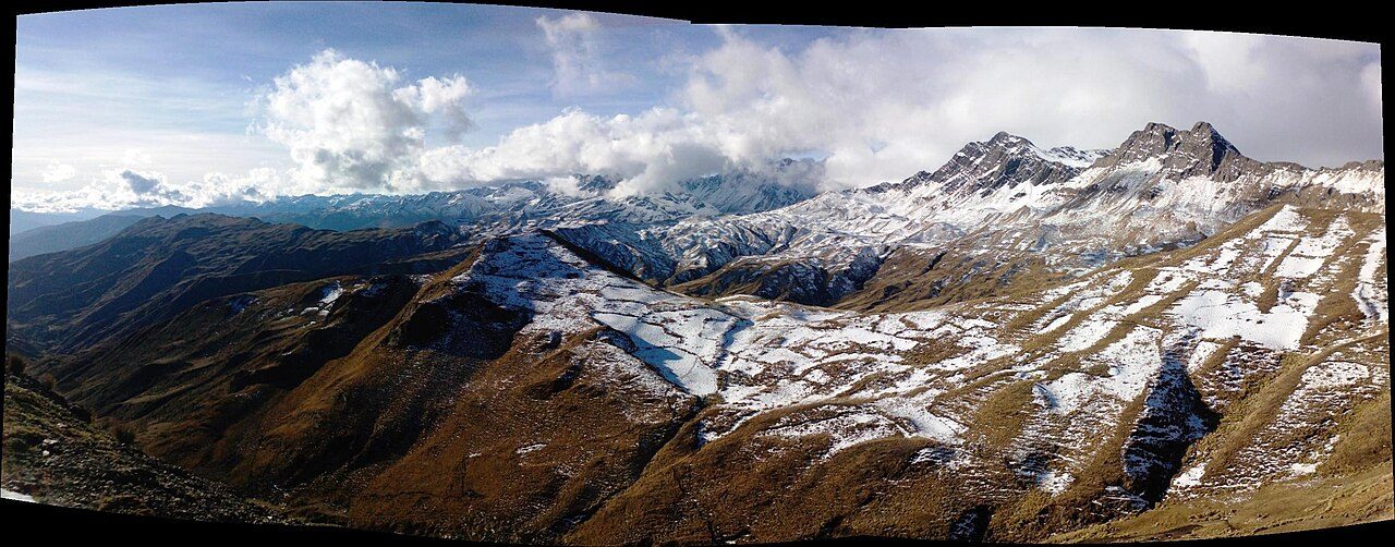
Tunari National Park
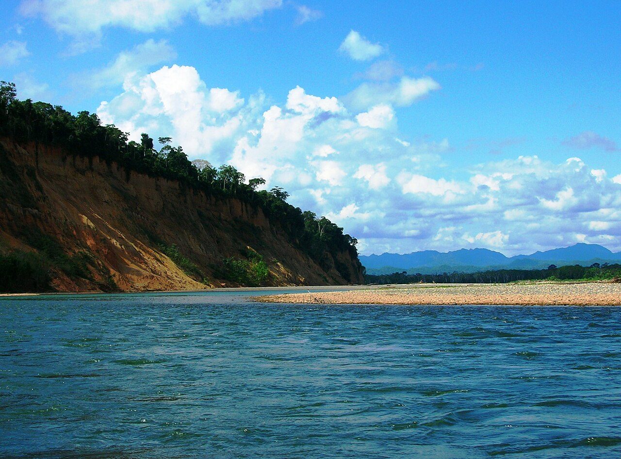
Madidi National Park and Integrated Management Natural Area
Carrasco National Park
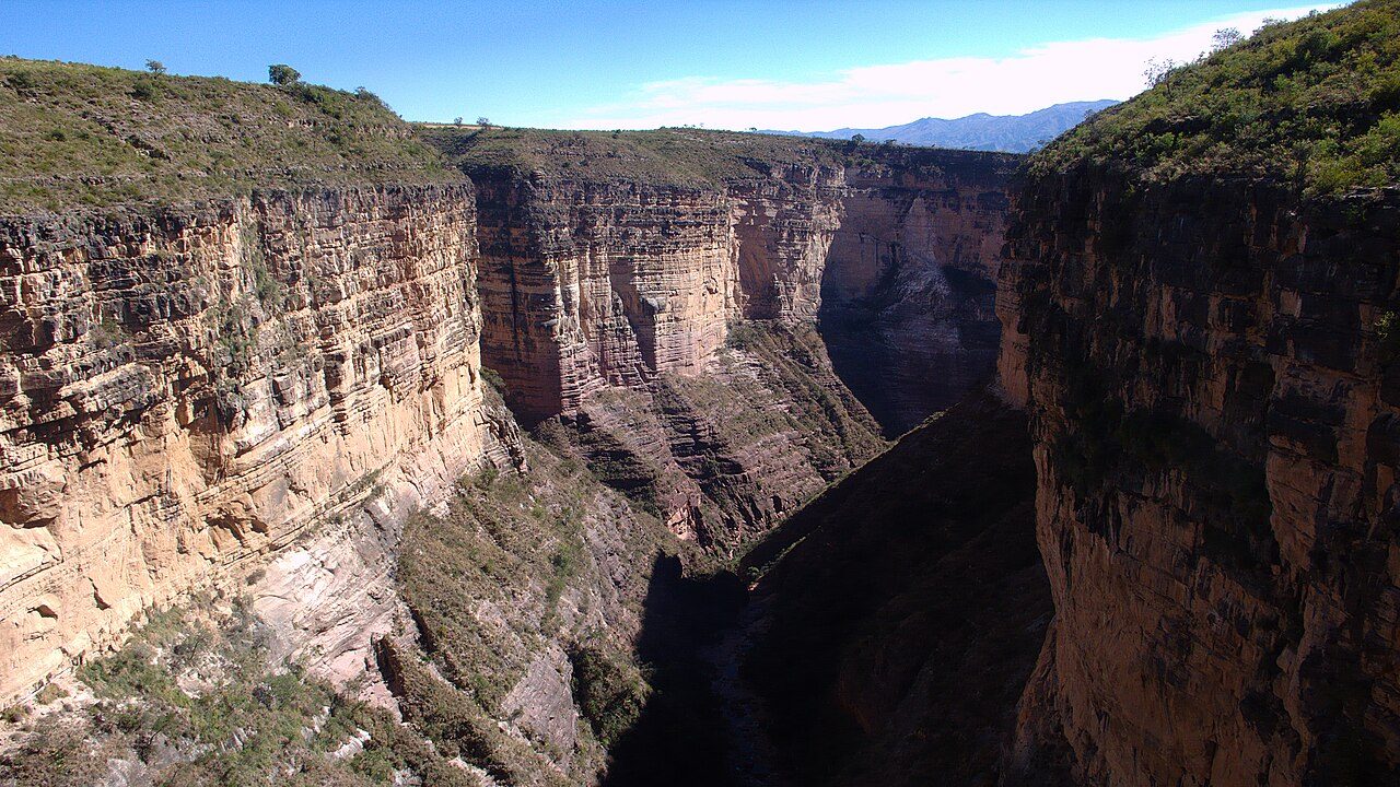
Toro Toro National Park
Sajama National Park
More parks in Bolivia
Madidi National Park and Integrated Management Natural Area
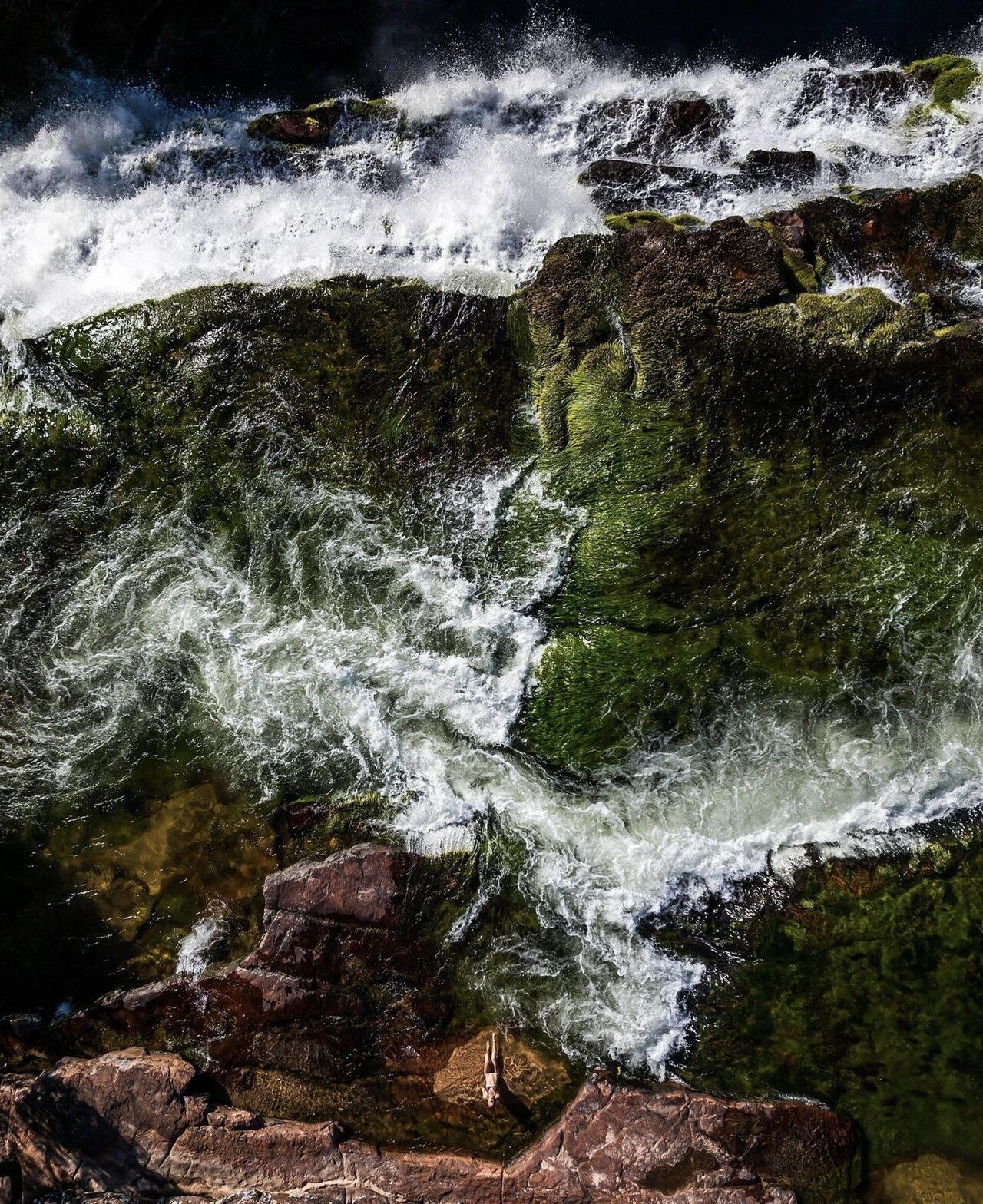
Noel Kempff Mercado National Park
Toro Toro National Park
Tunari National Park
Amboró National Park
Carrasco National Park
Cotapata National Park and Integrated Management Natural Area
Otuquis National Park and Integrated Management Natural Area
Frequently asked questions
Where is Isiboro Sécure National Park and Indigenous Territory?
Isiboro Sécure National Park and Indigenous Territory is in Bolivia (15.4500° S, 66.6667° W).
When was Isiboro Sécure National Park and Indigenous Territory established?
Isiboro Sécure National Park and Indigenous Territory was established in 1965, per the source listed at the foot of this page.
How big is Isiboro Sécure National Park and Indigenous Territory?
Isiboro Sécure National Park and Indigenous Territory covers 3,054,959 acres (1,236,299 ha).
Sources
- https://www.wikidata.org/wiki/Q1651313 — Wikidata (CC0) — name, country, coordinates, area, established year, highest point where stated.