
State Park · Utah, United States
Jordanelle State Park
Jordanelle State Park is a state park in Utah, United States, established in 1995.
State Park · Utah, United States
No freely licensed photograph of this park is in our library yet — rather than borrow a picture of somewhere else, this profile leads with its verified facts.
Park facts
| Park type | State Park |
|---|---|
| Location | Wasatch, Utah, United States |
| Established | 1995 |
| Coordinates | 40.6167° N, 111.4083° W |
| Managed by | Utah state park system |
Every fact above is taken from the sources listed below; anything no source states is left blank rather than guessed.
About Jordanelle State Park
Jordanelle Reservoir is a reservoir in Wasatch County, Utah, United States, just north of Heber City. Jordanelle Reservoir is fed and drained primarily by the Provo River, and is impounded by the Jordanelle Dam, an earthen dam. The construction of the dam resulted in the reroutings of both U.S. Route 40 and U.S. Route 189 (which now run concurrently over the summit of nearby mountains) and the submergence of the towns of Keetley, Hailstone, and Jordanelle. While Jordanelle Reservoir is popular for water sports, anglers also frequent Jordanelle. Jordanelle has a more broad range of fish species than other local lakes.
Description from the park's Wikipedia article (CC BY-SA), linked in the sources below.
Planning your visit
Getting there
| Nearest town | Heber City, Utah |
|---|---|
| Getting there | just north of Heber City |
Airports near this park
The airports a visitor would actually fly into, nearest first — each link opens its profile on our sister site AirportProfiles.
- Salt Lake City International Airport (SLC) · Salt Lake City, United States · 32.2 miles away
Parks nearby
More parks in Utah
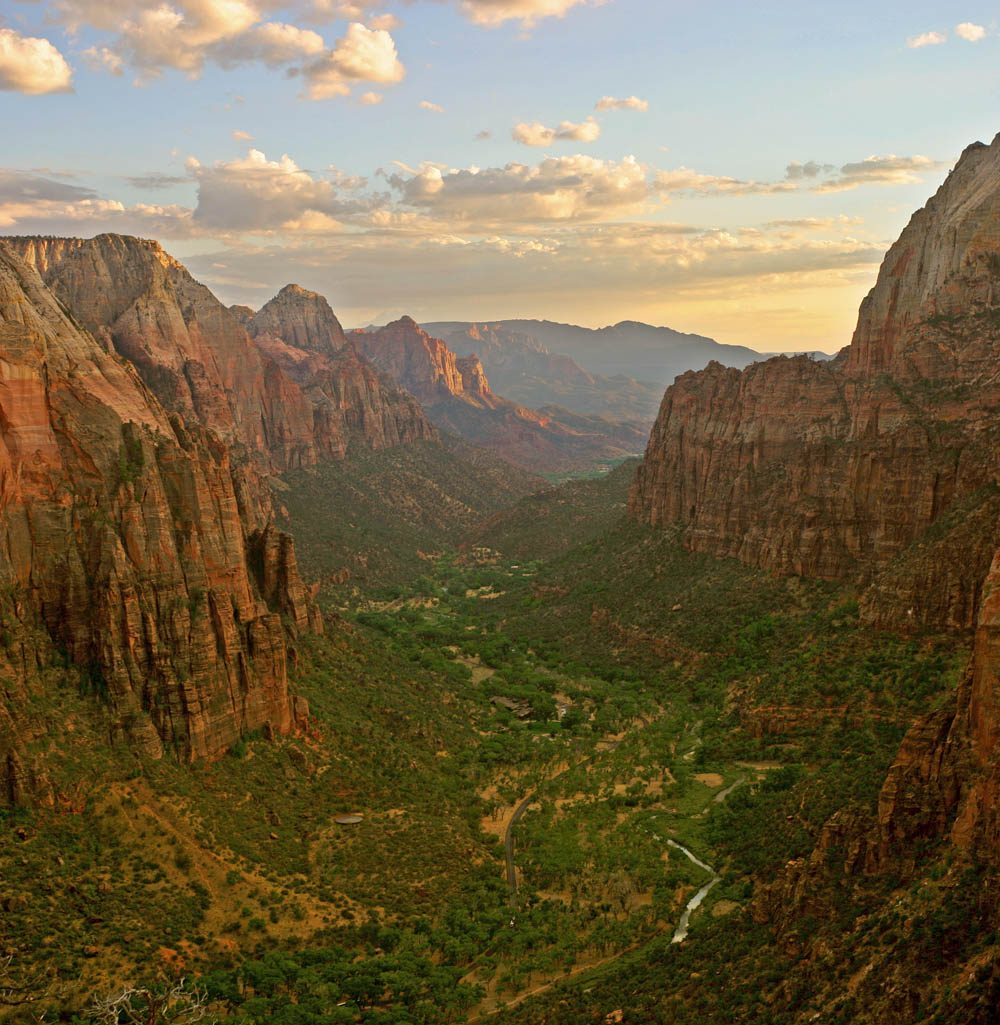
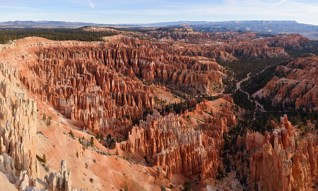
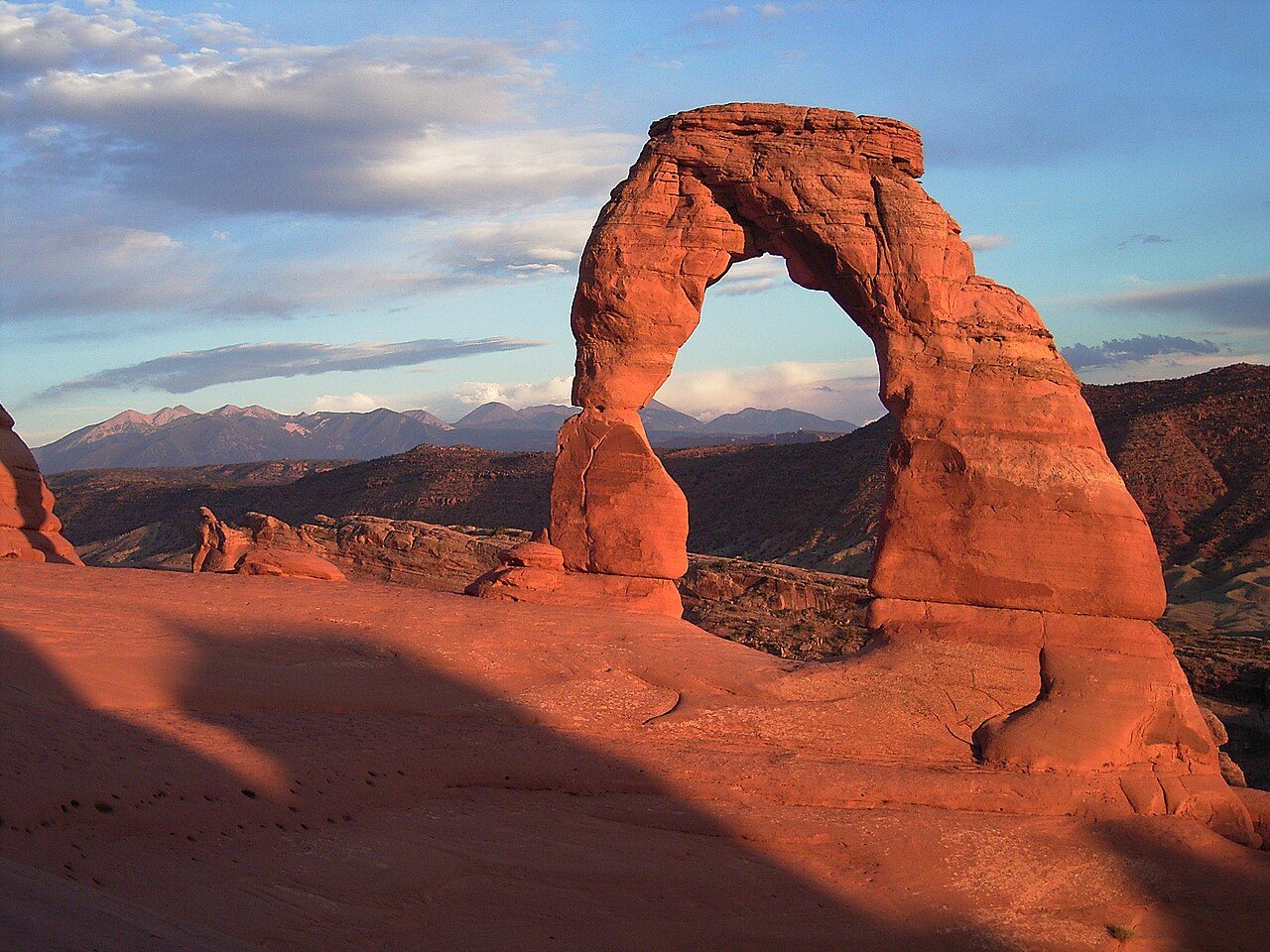
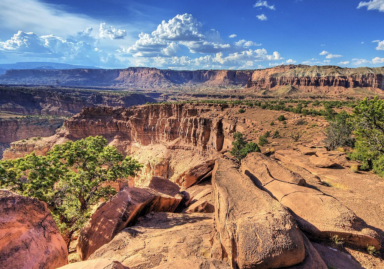
Frequently asked questions
Where is Jordanelle State Park?
Jordanelle State Park is in Utah, United States (40.6167° N, 111.4083° W).
When was Jordanelle State Park established?
Jordanelle State Park was established in 1995, per the source listed at the foot of this page.
How do I get to Jordanelle State Park?
The nearest town is Heber City, Utah. just north of Heber City.
Sources
- https://en.wikipedia.org/wiki/List_of_Utah_State_Parks — Wikipedia list of Utah state parks — park name, county/location, size, year where the table states them.
- https://en.wikipedia.org/wiki/Jordanelle_Reservoir — Wikipedia article — description (CC BY-SA).