
National Park · Austria
Kalkalpen National Park
Kalkalpen National Park is a national park in Austria, covering 51,480 acres (20,833 ha), established in 1997.
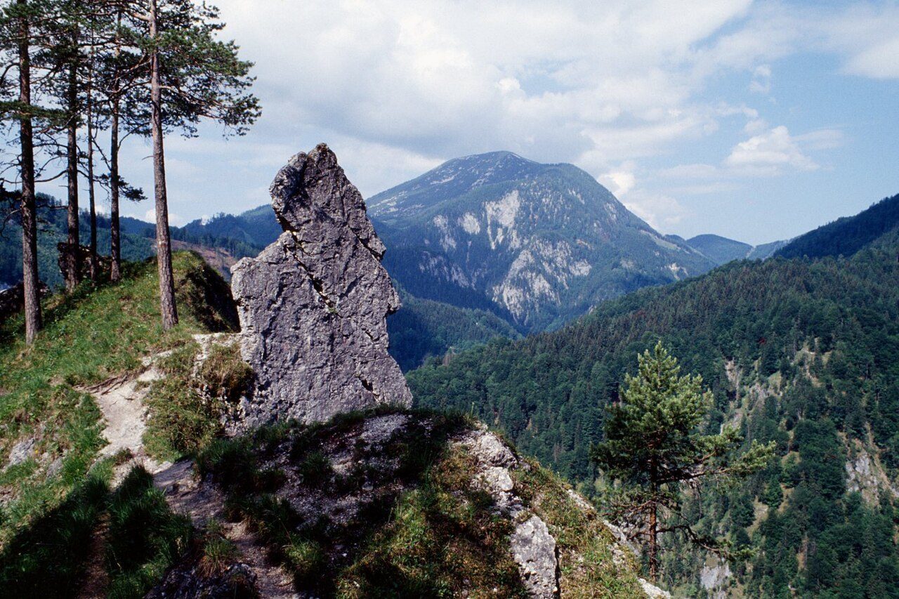
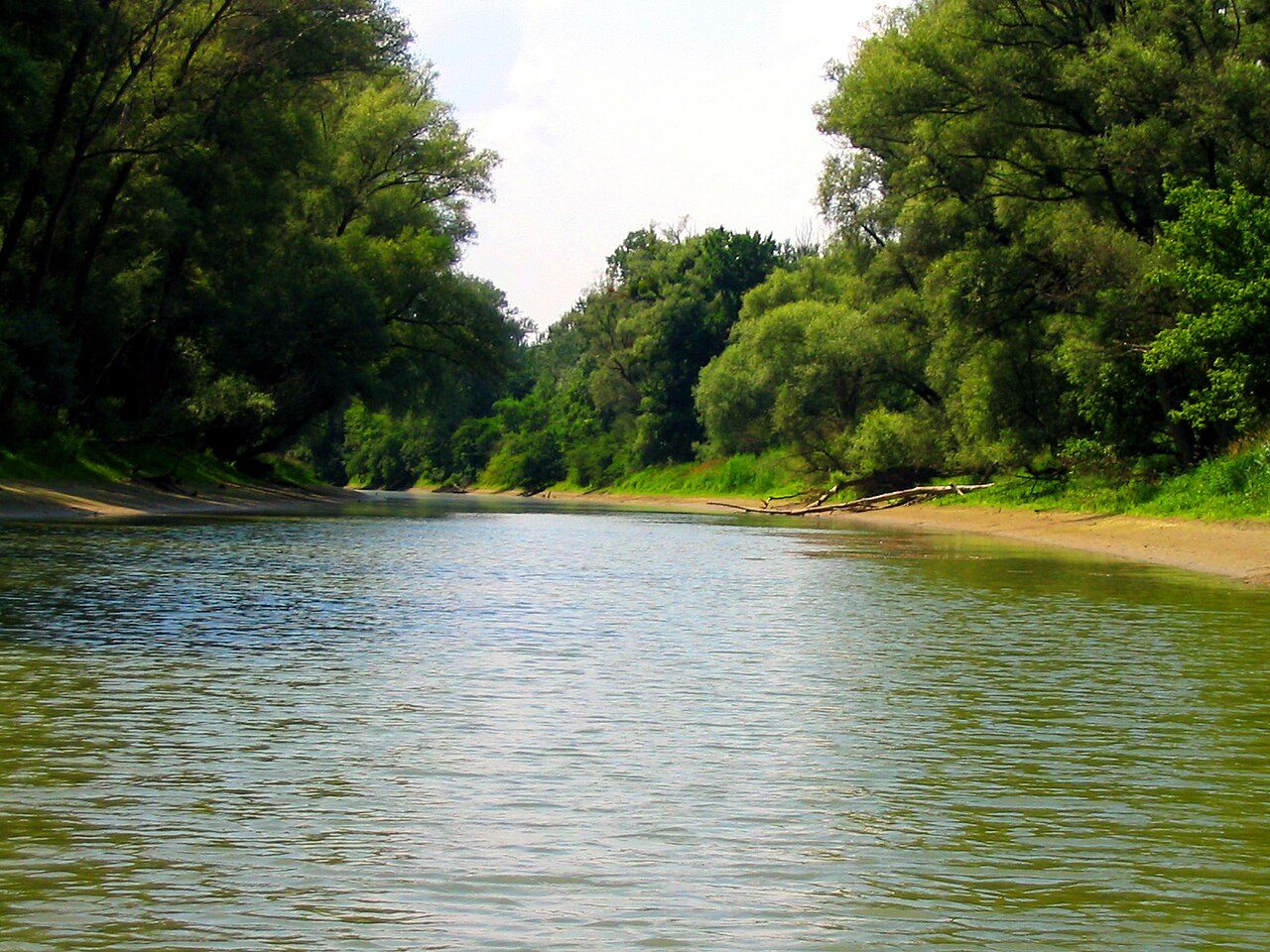
Photo: Herbert Ortner , Überraschungsbilder via Wikimedia Commons, CC BY 3.0. Cropped and resized for display.
Park facts
| Park type | National Park |
|---|---|
| Location | Austria |
| Area | 51,480 acres (20,833 ha) |
| Established | 1997 |
| Highest point | Hoher Nock — 1,963 m (6,440 ft) |
| Coordinates | 47.7900° N, 14.3736° E |
Every fact above is taken from the sources listed below; anything no source states is left blank rather than guessed.
About Kalkalpen National Park
Kalkalpen National Park (in English literally Limestone Alps National Park) is a national park within the Northern Limestone Alps mountain range, located in the state of Upper Austria, Austria. The park was established in 1997. The ancient beech forests within the national park were added to the UNESCO World Heritage Site known as Ancient and Primeval Beech Forests of the Carpathians and Other Regions of Europe, because of their undisturbed nature and testimony to the ecological history of Europe since the Last Glacial Period.
Description from the park's Wikipedia article (CC BY-SA), linked in the sources below.
Airports near this park
The airports a visitor would actually fly into, nearest first — each link opens its profile on our sister site AirportProfiles.
- Linz-Hörsching Airport (LNZ) · Linz, Austria · 31.9 miles away
- Salzburg Airport (SZG) · Salzburg, Austria · 63.6 miles away
- Graz Airport (GRZ) · Feldkirchen bei Graz, Austria · 74.4 miles away
Parks nearby
More parks in Austria

Frequently asked questions
Where is Kalkalpen National Park?
Kalkalpen National Park is in Austria (47.7900° N, 14.3736° E).
When was Kalkalpen National Park established?
Kalkalpen National Park was established in 1997, per the source listed at the foot of this page.
How big is Kalkalpen National Park?
Kalkalpen National Park covers 51,480 acres (20,833 ha).
What is the highest point in Kalkalpen National Park?
The highest point is Hoher Nock, at 1,963 metres (6,440 ft).
Sources
- https://www.wikidata.org/wiki/Q686047 — Wikidata (CC0) — name, country, coordinates, area, established year, highest point where stated.
- https://en.wikipedia.org/wiki/Nationalpark_Kalkalpen — Wikipedia article — description (CC BY-SA).