
State Park · Missouri, United States
Katy Trail State Park
Katy Trail State Park is a state park in Missouri, United States, established in 1982.
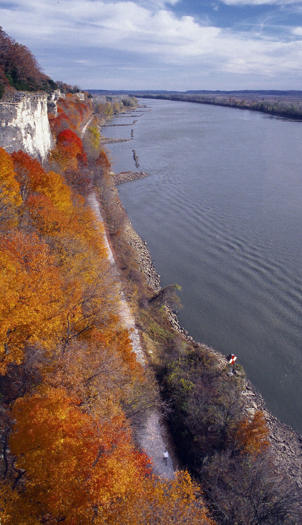
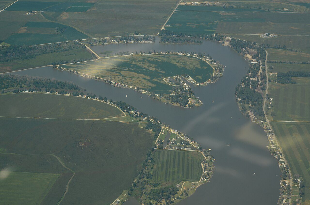
Photo: mostateparks via Wikimedia Commons, Public domain. Cropped and resized for display.
Park facts
| Park type | State Park |
|---|---|
| Location | Boone , Callaway , Cooper , Henry , Howard , Montgomery , Pettis , St. Charles , Warren, Missouri, United States |
| Length | 238 miles (382.5 km) |
| Established | 1982 |
| Coordinates | 38.9035° N, 90.3314° W |
| Managed by | Missouri state park system |
Every fact above is taken from the sources listed below; anything no source states is left blank rather than guessed.
About Katy Trail State Park
The Katy Trail State Park is a state park in the U.S. state of Missouri that contains the Katy Trail, the country's longest continuous recreational rail trail. It runs 240 miles (390 km), largely along the northern bank of the Missouri River, in the former right-of-way of the Missouri–Kansas–Texas Railroad. Open year-round from sunrise to sunset, it serves hikers, joggers, and cyclists. Its hard, flat surface is of "limestone pug" (crushed limestone). The nickname "Katy" comes from the phonetic pronunciation of "KT", a short form of the railroad's abbreviated name, MKT.
Description from the park's Wikipedia article (CC BY-SA), linked in the sources below.
Planning your visit
Best time to visit
Open year-round
What to do
Airports near this park
The airports a visitor would actually fly into, nearest first — each link opens its profile on our sister site AirportProfiles.
- St. Louis Lambert International Airport (STL) · St Louis, United States · 10.9 miles away
Parks nearby
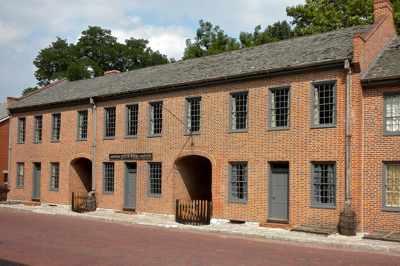
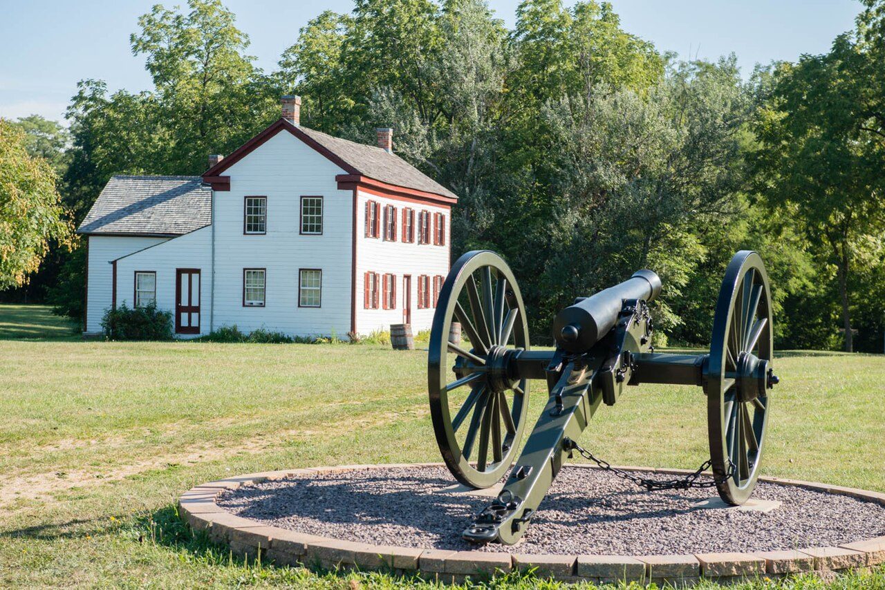
First Missouri State Capitol State Historic Site
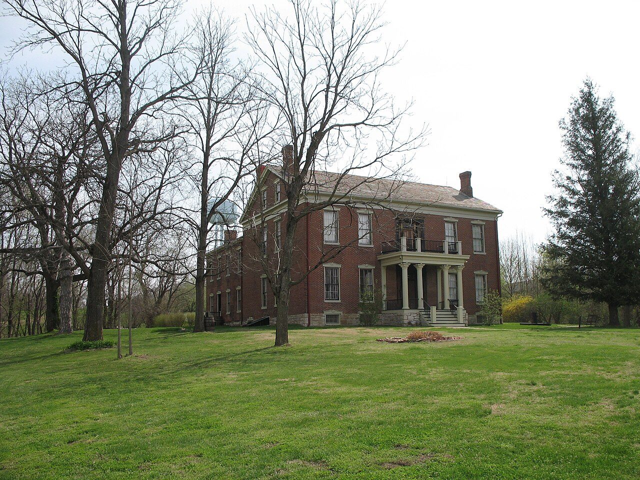
Pere Marquette State Park
Edward "Ted" and Pat Jones-Confluence Point State Park
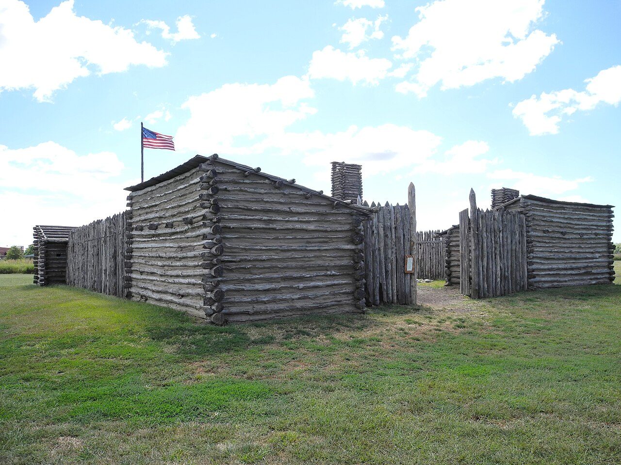
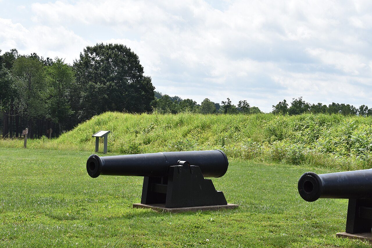
Lewis and Clark State Historic Site
Mississippi River State Fish and Wildlife Area
Bohm Woods Nature Preserve
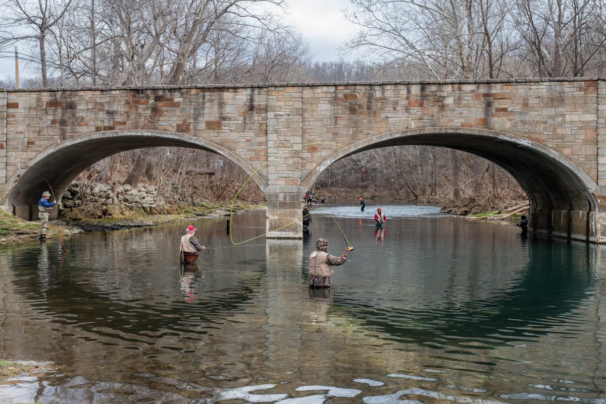
More parks in Missouri

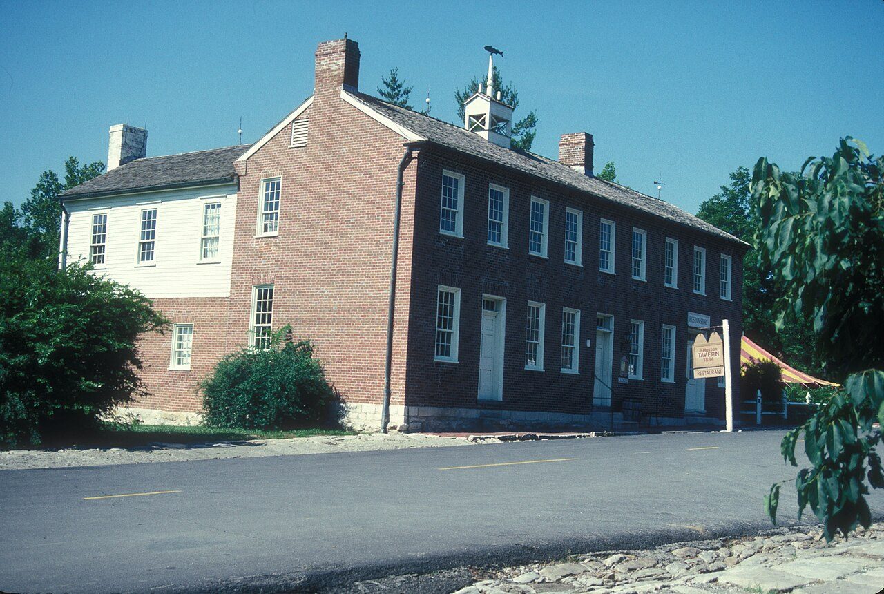

Frequently asked questions
Where is Katy Trail State Park?
Katy Trail State Park is in Missouri, United States (38.9035° N, 90.3314° W).
When was Katy Trail State Park established?
Katy Trail State Park was established in 1982, per the source listed at the foot of this page.
When is the best time to visit Katy Trail State Park?
Open year-round.
Sources
- https://en.wikipedia.org/wiki/List_of_Missouri_state_parks — Wikipedia list of Missouri state parks — park name, county/location, size, year where the table states them.
- https://en.wikipedia.org/wiki/Katy_Trail_State_Park — Wikipedia article — description (CC BY-SA).