
National Park · Indonesia
Kelimutu National Park
Kelimutu National Park is a national park in Indonesia, covering 12,355 acres (5,000 ha), established in 1992.
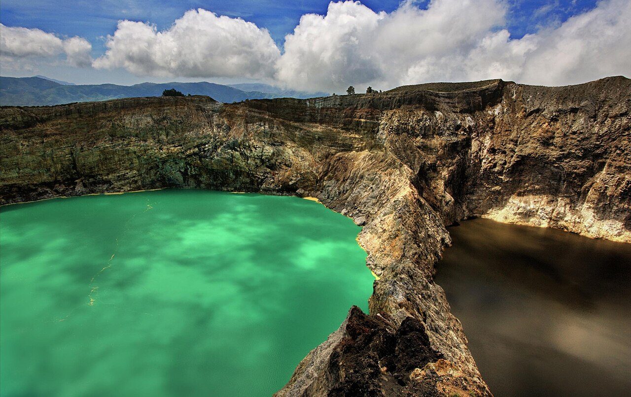
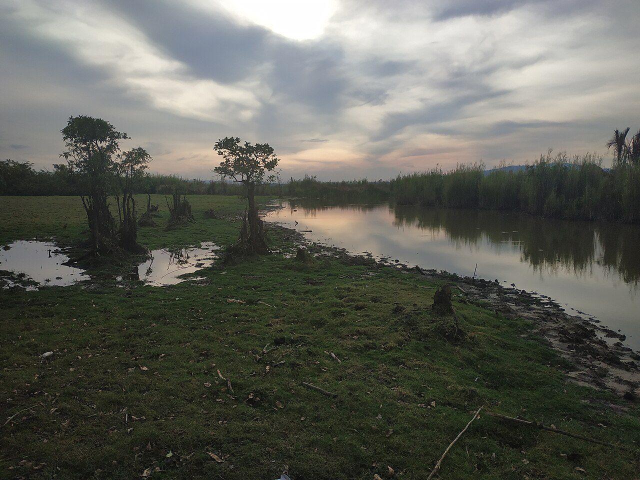
Photo: Neil , WWW.NEILSRTW.BLOGSPOT.COM Malaysia via Wikimedia Commons, CC BY 2.0. Cropped and resized for display.
Park facts
| Park type | National Park |
|---|---|
| Location | Indonesia |
| Area | 12,355 acres (5,000 ha) |
| Established | 1992 |
| Coordinates | 8.7583° S, 121.8447° E |
Every fact above is taken from the sources listed below; anything no source states is left blank rather than guessed.
About Kelimutu National Park
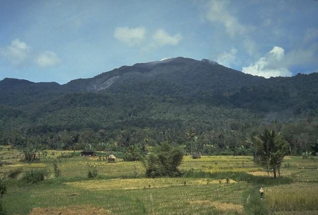
Kelimutu National Park (Indonesian: Taman Nasional Kelimutu) is located on the island of Flores, East Nusa Tenggara, Indonesia. It consists of a region with hills and mountains, with Mount Kelibara (1,731 m) as its highest peak. Mount Kelimutu, which has the three coloured lakes, is also located in this national park. This natural attraction is a destination for tourists. Some endangered plant species are protected in this national park, such as: Toona spp., Anthocephalus cadamba, Canarium spp., Diospyros ferra, Alstonis scholaris, Schleichera oleosa, Casuarina equisetifolia and Anaphalis javanica.
Description from the park's Wikipedia article (CC BY-SA), linked in the sources below.
Airports near this park
The airports a visitor would actually fly into, nearest first — each link opens its profile on our sister site AirportProfiles.
- H. Hasan Aroeboesman (Ende) Airport (ENE) · Ende, Indonesia · 14.0 miles away
- Frans Xavier Seda Airport (MOF) · Waioti, Indonesia · 28.1 miles away
- Larantuka Gewayentana Airport (LKA) · Tiwatobi, Indonesia · 85.9 miles away
Parks nearby
More parks in Indonesia

Frequently asked questions
Where is Kelimutu National Park?
Kelimutu National Park is in Indonesia (8.7583° S, 121.8447° E).
When was Kelimutu National Park established?
Kelimutu National Park was established in 1992, per the source listed at the foot of this page.
How big is Kelimutu National Park?
Kelimutu National Park covers 12,355 acres (5,000 ha).
Sources
- https://www.wikidata.org/wiki/Q751181 — Wikidata (CC0) — name, country, coordinates, area, established year, highest point where stated.
- https://en.wikipedia.org/wiki/Kelimutu_National_Park — Wikipedia article — description (CC BY-SA).