
National Park · Australia
Kennedy Range National Park
Kennedy Range National Park is a national park in Australia, covering 350 acres (142 ha), established in 1993.
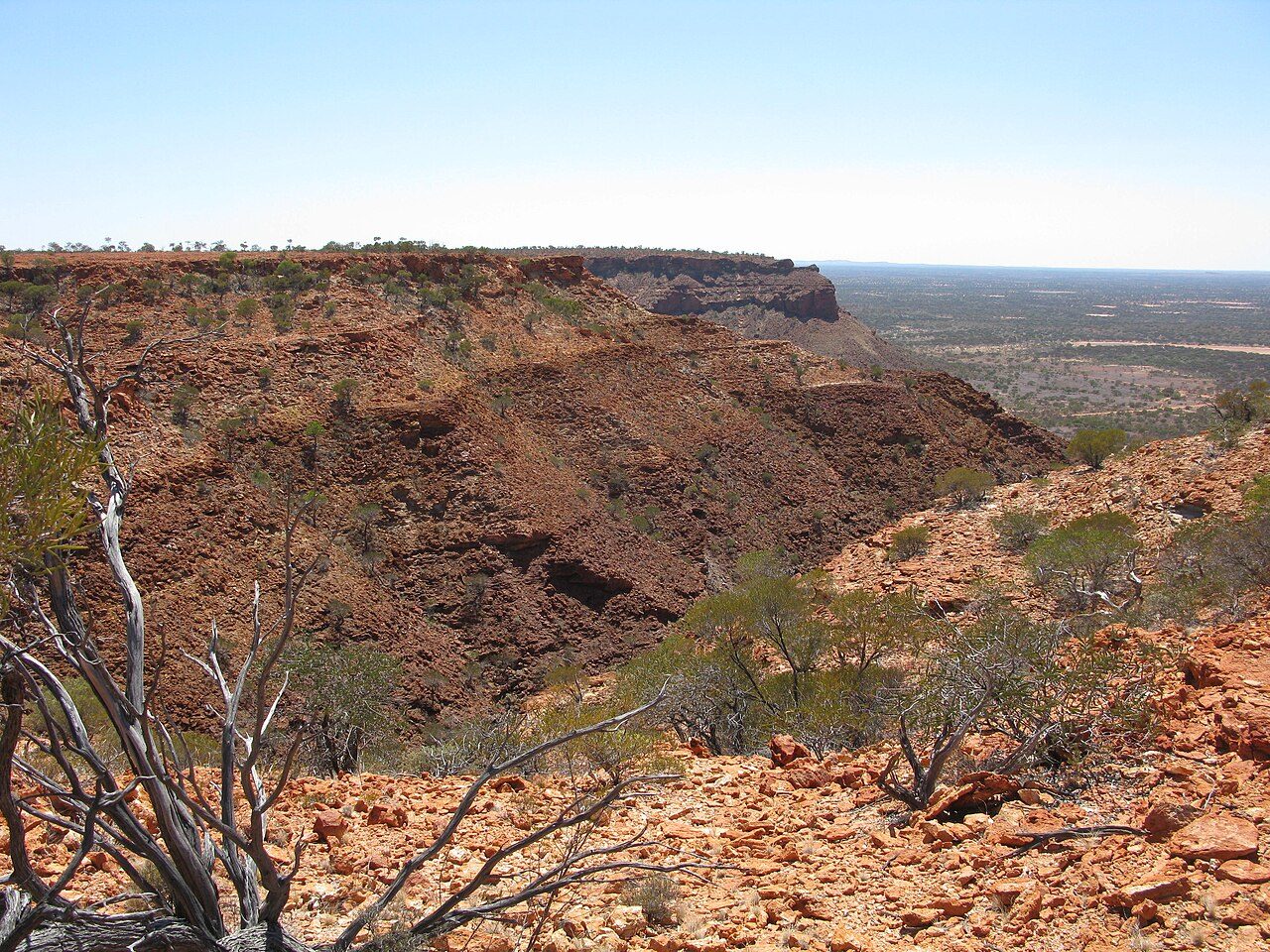
Photo: Aussie Oc at English Wikipedia via Wikimedia Commons, CC BY-SA 3.0. Cropped and resized for display.
Park facts
| Park type | National Park |
|---|---|
| Location | Australia |
| Area | 350 acres (142 ha) |
| Established | 1993 |
| Coordinates | 24.5792° S, 115.0500° E |
Every fact above is taken from the sources listed below; anything no source states is left blank rather than guessed.
About Kennedy Range National Park
Kennedy Range National Park is a national park in Gascoyne region of Western Australia, approximately 830 kilometres (520 mi) north of Perth and about 150 km (93 mi) east of Carnarvon. Kennedy Range is found on the edge of the Gascoyne River catchment area and is a weathered plateau that extends for a distance of 150 km (93 mi), essentially forming a huge mesa. Spectacular sandstone cliffs can be found on the southern and eastern sides of the range, which are dissected by steep canyons which have an elevation of up to 100 metres (330 ft). The Range formed a natural border for two Aboriginal peoples, the Maia and the Malgaru.
Description from the park's Wikipedia article (CC BY-SA), linked in the sources below.
Planning your visit
What to do
Airports near this park
The airports a visitor would actually fly into, nearest first — each link opens its profile on our sister site AirportProfiles.
- Carnarvon Airport (CVQ) · Carnarvon, Australia · 89.4 miles away
- Shark Bay Airport (MJK) · Denham, Australia · 129.5 miles away
Parks nearby
More parks in Australia

Frequently asked questions
Where is Kennedy Range National Park?
Kennedy Range National Park is in Australia (24.5792° S, 115.0500° E).
When was Kennedy Range National Park established?
Kennedy Range National Park was established in 1993, per the source listed at the foot of this page.
How big is Kennedy Range National Park?
Kennedy Range National Park covers 350 acres (142 ha).
Sources
- https://www.wikidata.org/wiki/Q1738788 — Wikidata (CC0) — name, country, coordinates, area, established year, highest point where stated.
- https://en.wikipedia.org/wiki/Kennedy_Range_National_Park — Wikipedia article — description (CC BY-SA).