
State Park · Virginia, United States
Kiptopeke State Park
Kiptopeke State Park is a state park in Virginia, United States, covering 562 acres (227 ha), established in 1992.
State Park · Virginia, United States
No freely licensed photograph of this park is in our library yet — rather than borrow a picture of somewhere else, this profile leads with its verified facts.
Park facts
| Park type | State Park |
|---|---|
| Location | Cape Charles, Virginia, United States |
| Area | 562 acres (227 ha) |
| Established | 1992 |
| Coordinates | 37.1694° N, 75.9794° W |
| Managed by | Virginia state park system |
Every fact above is taken from the sources listed below; anything no source states is left blank rather than guessed.
About Kiptopeke State Park
Kiptopeke State Park is a state park located in the southern end of the Eastern Shore of Virginia and the Delmarva Peninsula in Northampton County, near Cape Charles. The park offers recreational access to the brackish waters of the Chesapeake Bay with its shoreline, beach, boat ramps and piers, as well as unique migratory bird habitat along the East Coast flyway. It is also known for the concrete ships sunk to protect the former ferry port from erosion during severe storms.
Description from the park's Wikipedia article (CC BY-SA), linked in the sources below.
Airports near this park
The airports a visitor would actually fly into, nearest first — each link opens its profile on our sister site AirportProfiles.
- Norfolk International Airport (ORF) · Norfolk, United States · 22.5 miles away
- Richmond International Airport (RIC) · Richmond, United States · 77.2 miles away
- Ronald Reagan Washington National Airport (DCA) · Washington, United States · 129.8 miles away
Parks nearby
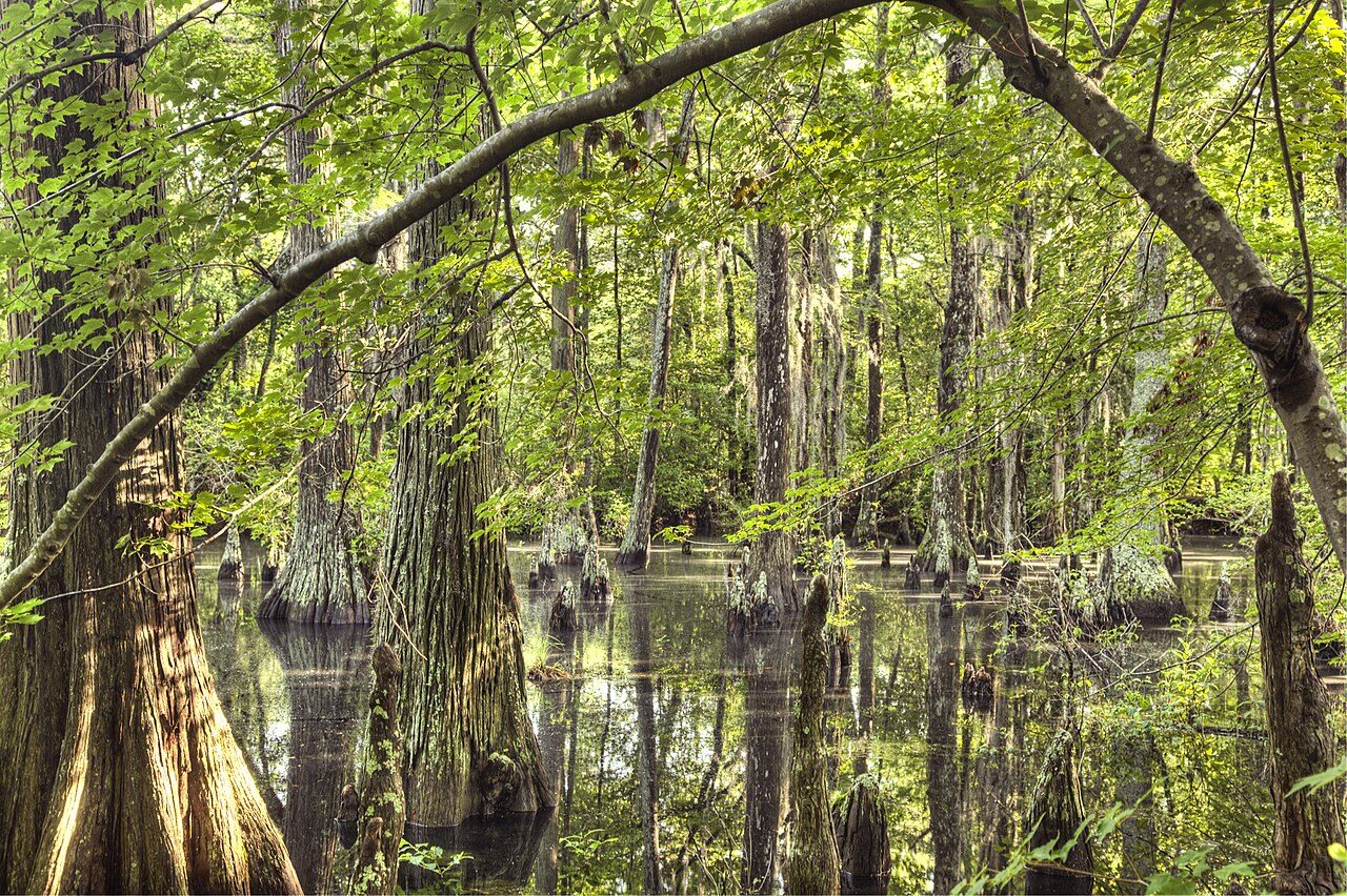
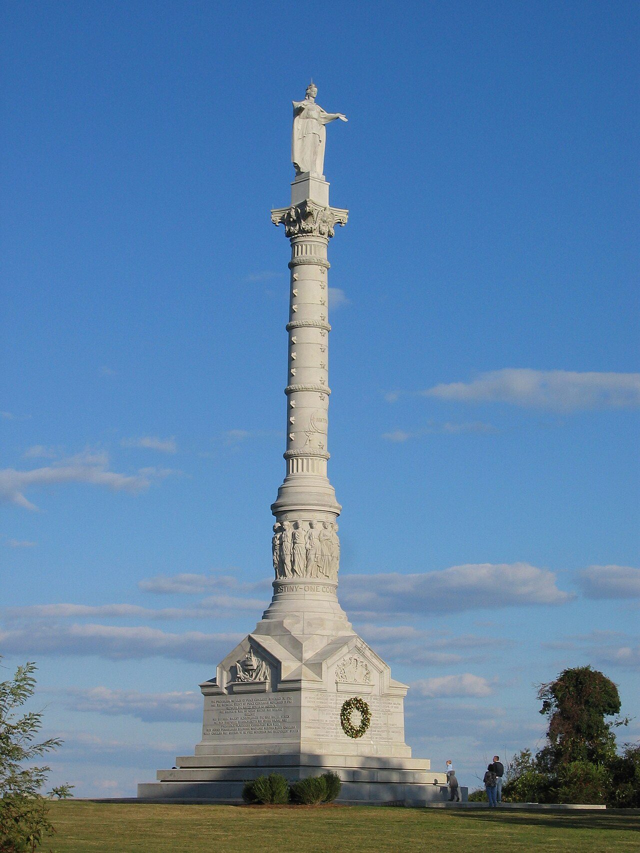
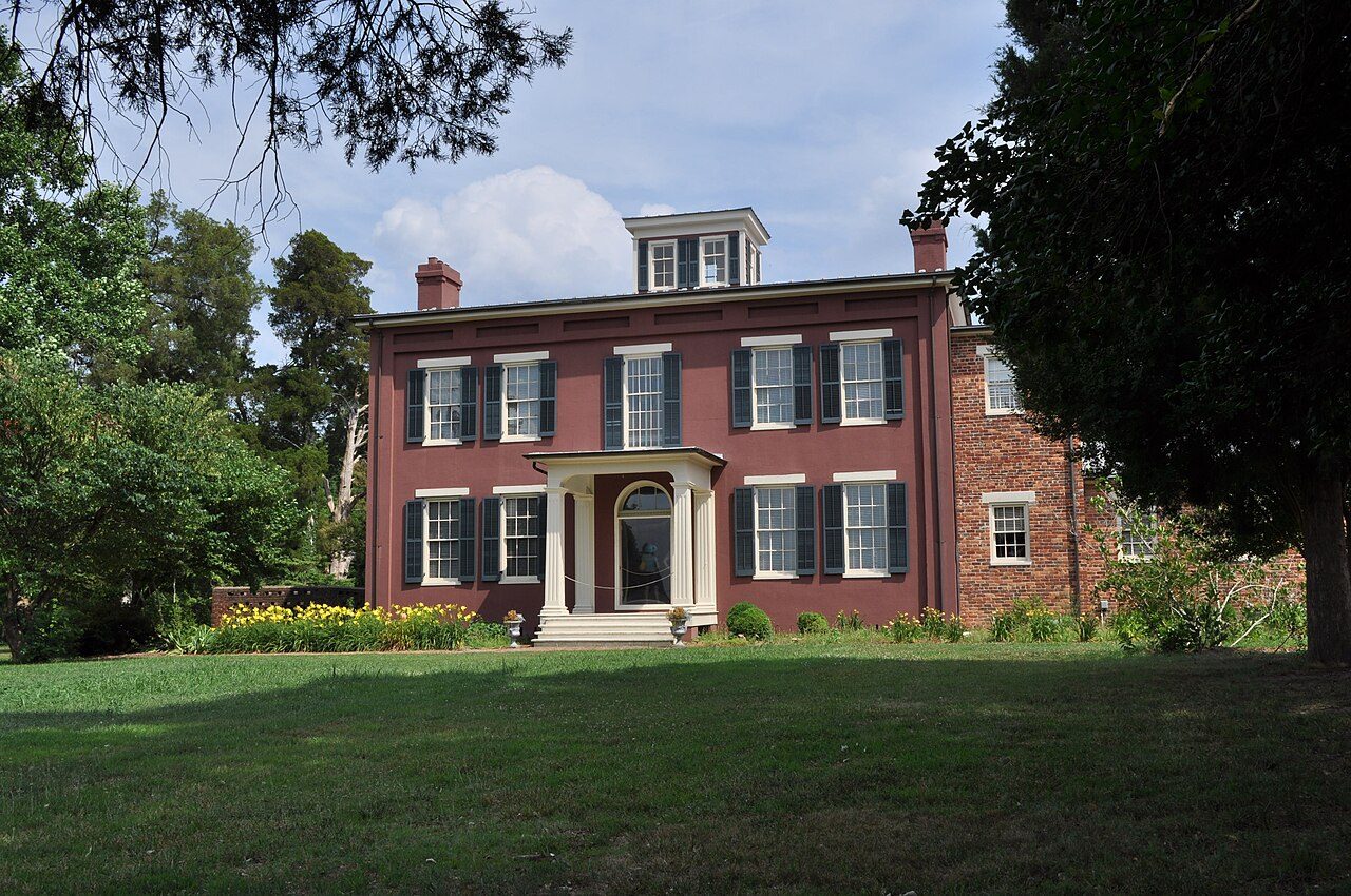
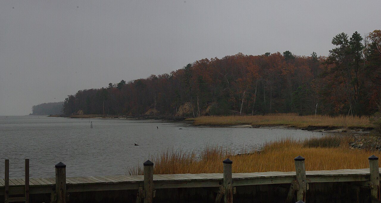
More parks in Virginia
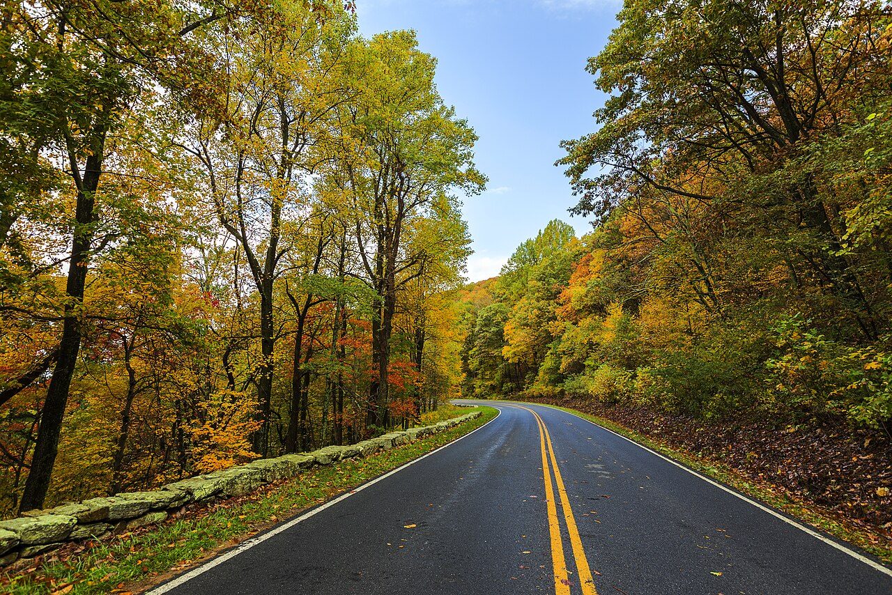
Shenandoah National Park
Wolf Trap National Park for the Performing Arts
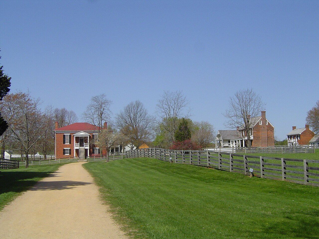
Appomattox Court House National Historical Park

Arlington House, The Robert E. Lee Memorial
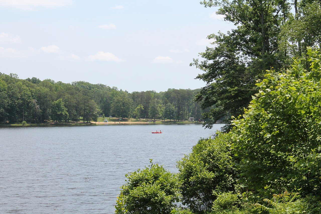
Bear Creek Lake State Park
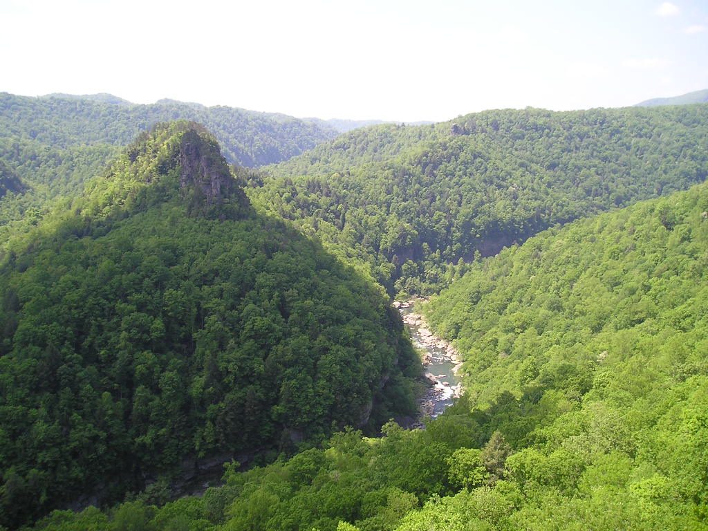
Breaks Interstate Park
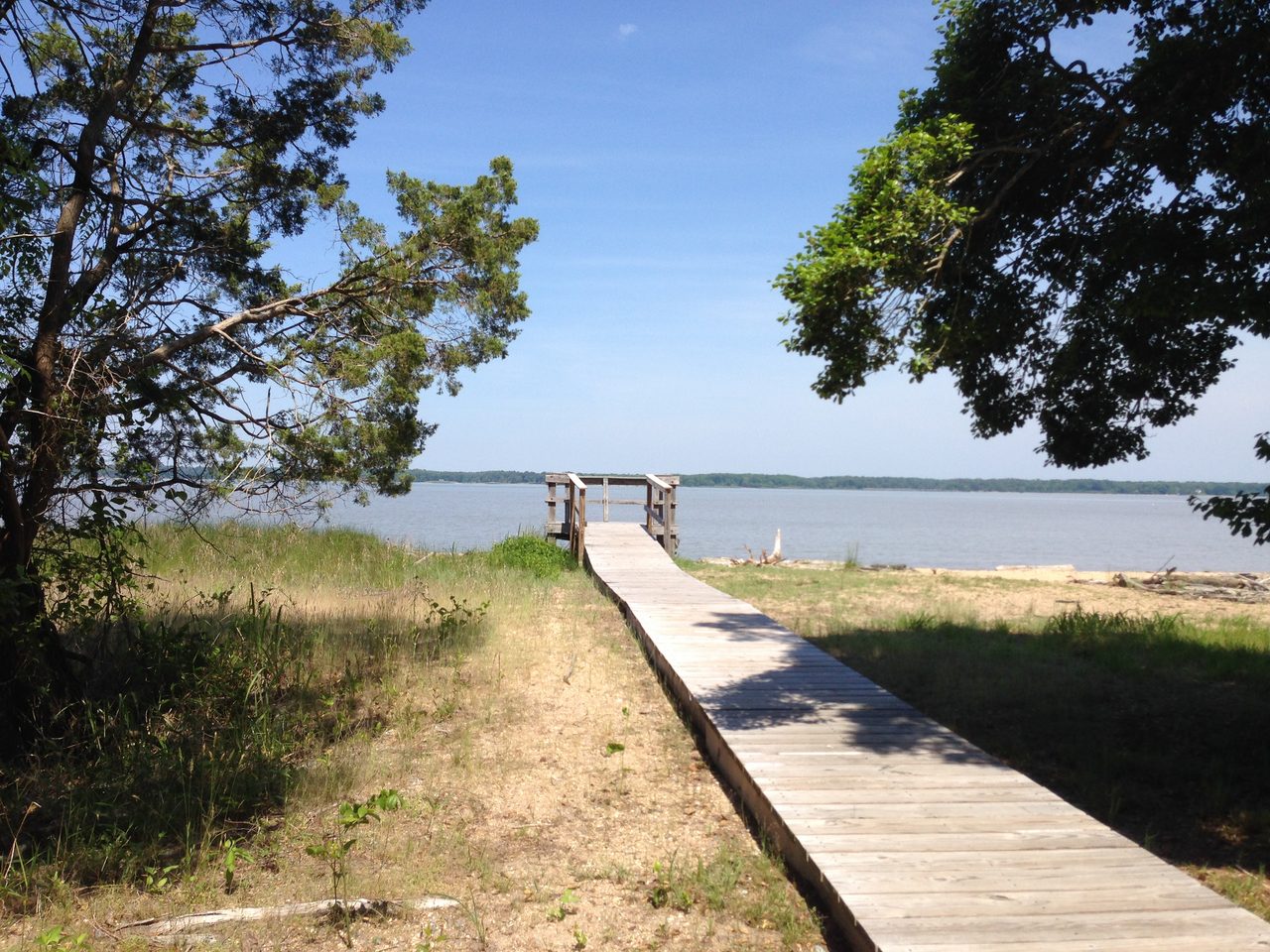
Caledon State Park
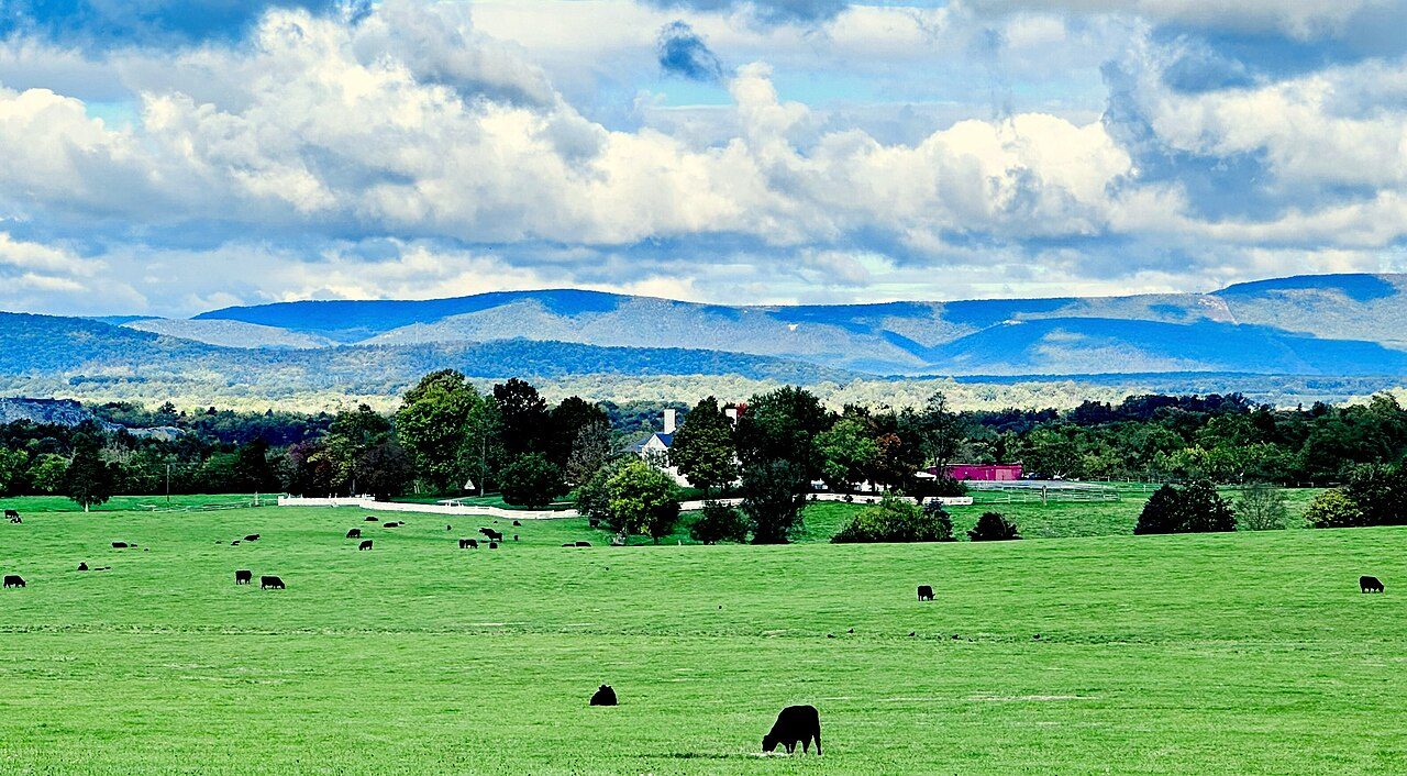
Cedar Creek and Belle Grove National Historical Park
Frequently asked questions
Where is Kiptopeke State Park?
Kiptopeke State Park is in Virginia, United States (37.1694° N, 75.9794° W).
When was Kiptopeke State Park established?
Kiptopeke State Park was established in 1992, per the source listed at the foot of this page.
How big is Kiptopeke State Park?
Kiptopeke State Park covers 562 acres (227 ha).
Sources
- https://en.wikipedia.org/wiki/List_of_Virginia_state_parks — Wikipedia list of Virginia state parks — park name, county/location, size, year where the table states them.
- https://en.wikipedia.org/wiki/Kiptopeke_State_Park — Wikipedia article — description (CC BY-SA).